Queen Maud Gulf Topo Map
Free Topo Maps Downloadable Online: 067B
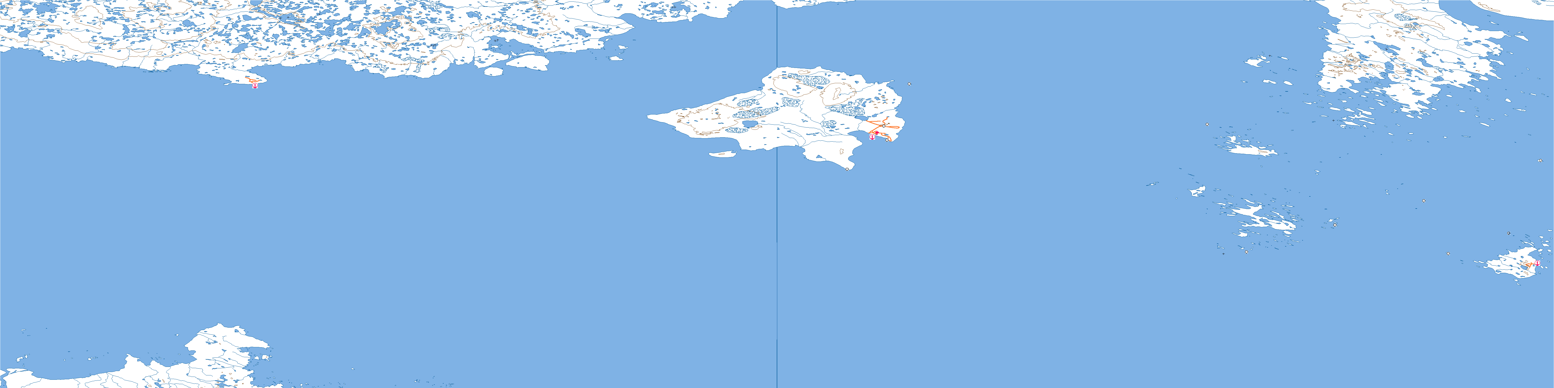
067B Queen Maud Gulf Topo Map
To view this map, mouse over the map preview on the right.
You can also download this topo map for free:
067B Queen Maud Gulf high-resolution topo map image.
Maps for the Queen Maud Gulf map sheet 067B at 1:250,000 scale are also available in these 4 versions:
Queen Maud Gulf Surrounding Area Topos (NTS 067)
 |
|
 |
 |
 |
 |
 |
 |
© Department of Natural Resources Canada. All rights reserved.
067B Queen Maud Gulf Area Topo Maps at 1:50,000

|

|

|

|

|

|

|
|

|
|||

|
© Department of Natural Resources Canada. All rights reserved.
© Department of Natural Resources Canada. All rights reserved.
067B Related Maps:
067B Queen Maud Gulf067B04E Whitebear Point
067B04W Whitebear Point
067B08E Hat Island
067B08W Hat Island
067B09E Bryde Island
067B09W Bryde Island
067B10W East Jenny Lind Island
067B11E West Jenny Lind Island
067B13E Parker Bay
067B13W Parker Bay
067B14E Stromness Bay
067B14W Stromness Bay
067B15W North Jenny Lind Island
067B16E No Title
067B16W
