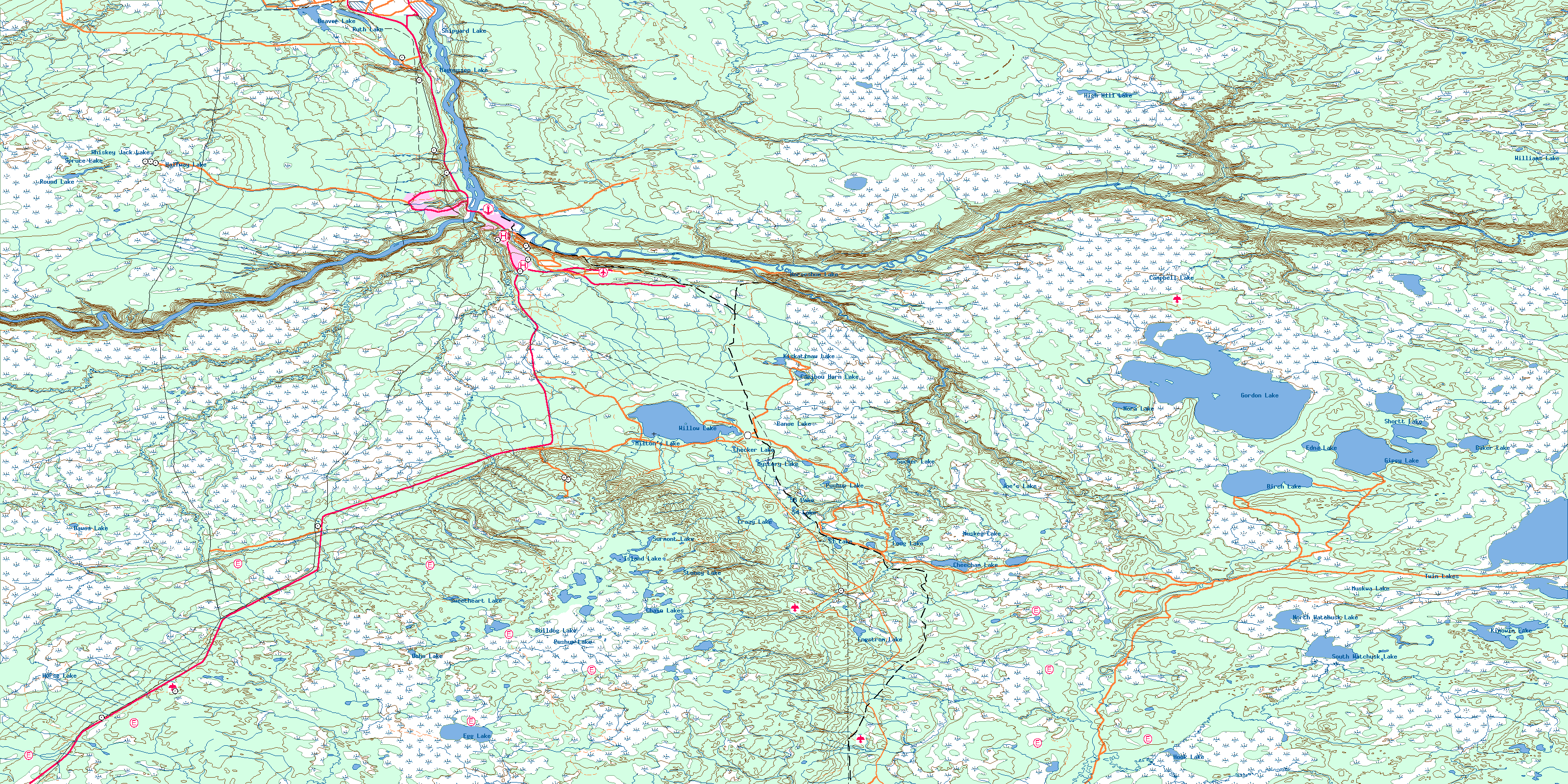
Fort Mcmurray Topo Map
Free Topo Maps Downloadable Online: 074D
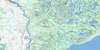
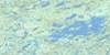
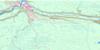
074D Fort Mcmurray Topo Map
To view this map, mouse over the map preview on the right.
You can also download this topo map for free:
074D Fort Mcmurray high-resolution topo map image.
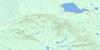
Maps for the Fort Mcmurray map sheet 074D at 1:250,000 scale are also available in these 4 versions:
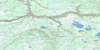
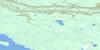
Fort Mcmurray Surrounding Area Topos (NTS 074)
 |
 |
 |
 |
 |
 |
 |
 |
 |
 |
 |
 |
 |
 |
 |
 |
© Department of Natural Resources Canada. All rights reserved.
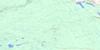
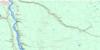
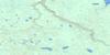
074D Fort Mcmurray Area Topo Maps at 1:50,000
 |
 |
 |
 |
 |
 |
 |
 |
 |
 |
 |
 |
 |
 |
 |
 |
© Department of Natural Resources Canada. All rights reserved.
© Department of Natural Resources Canada. All rights reserved.
074D Related Maps:
074D Fort Mcmurray074D01 Watchusk Lake
074D02 Quigley
074D03 No Title
074D04 Horse River
074D05 No Title
074D06 Gregoire Lake
074D07 Cheecham
074D08 Gipsy Lake
074D09 Bunting Bay
074D10 Hollies Creek
074D11 Fort Mcmurray
074D12 Cascade Rapids
074D13 Ruth Lake
074D14 Wood Creek
074D15 No Title
074D16 High Hill River
