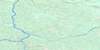
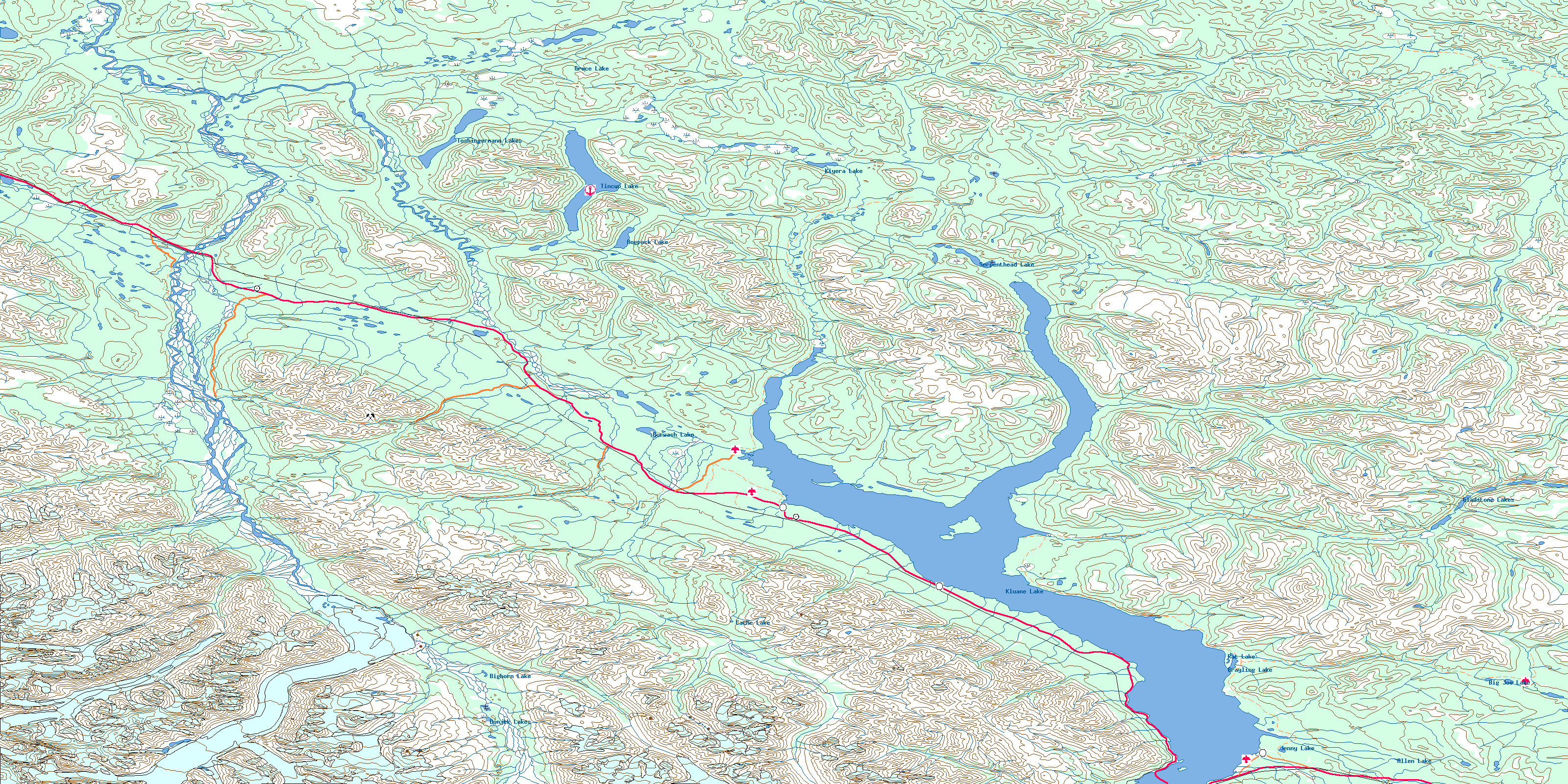
Kluane Lake Topo Map
Free Topo Maps Downloadable Online: 115G
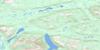
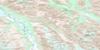
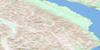
115G Kluane Lake Topo Map
To view this map, mouse over the map preview on the right.
You can also download this topo map for free:
115G Kluane Lake high-resolution topo map image.
Maps for the Kluane Lake map sheet 115G at 1:250,000 scale are also available in these 4 versions:
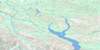
Kluane Lake Surrounding Area Topos (NTS 115)
 |
 |
||
 |
 |
||
 |
 |
||
 |
 |
© Department of Natural Resources Canada. All rights reserved.
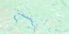
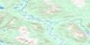
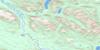
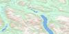
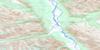
115G Kluane Lake Area Topo Maps at 1:50,000
 |
 |
 |
 |
 |
 |
 |
 |
 |
 |
 |
 |
 |
 |
 |
 |
© Department of Natural Resources Canada. All rights reserved.
© Department of Natural Resources Canada. All rights reserved.
115G Related Maps:
115G Kluane Lake115G01 Cultus Creek
115G02 Congdon Creek
115G03 Bighorn Creek
115G04 Donjek Glacier
115G05 Steele Creek
115G06 Duke River
115G07 Burwash Landing
115G08 Gladstone Creek
115G09 Talbot Creek
115G10 Serpenthead Lake
115G11 Nuntaea Creek
115G12 Lynx Creek
115G13 Tom Murray Creek
115G14 Toshingermann Lakes
115G15 Kiyera Lake
115G16 Rhyolite Creek
