012H Sandy Lake Topographic Maps
Maps for the Sandy Lake map sheet 012H at 1:250,000 scale are available in 5 versions:
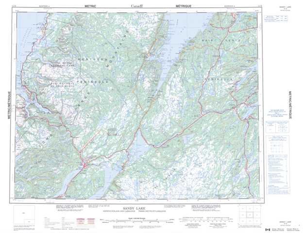
Topographic Map of Sandy Lake
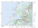
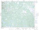
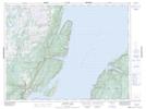
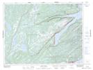
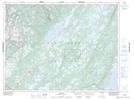
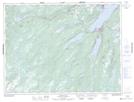
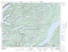
1:50,000 Scale Topos for Sandy Lake 012H:
 |
 |
 |
 |
 |
 |
 |
 |
 |
 |
 |
 |
 |
 |
 |
 |
012H Related Maps:
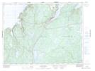
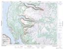
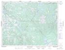
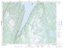
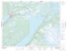
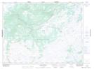
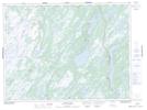
012H Sandy Lake
012H01 Dawes Pond
012H02 The Topsails
012H03 Deer Lake
012H04 Pasadena
012H05 Lomond
012H06 Cormack
012H07 Sheffield Lake
012H08 Springdale
012H09 King's Point
012H10 Hampden
012H11 Silver Mountain
012H12 Gros Morne
012H13 St Pauls Inlet
012H14 Main River
012H15 Jackson's Arm
012H16 Baie Verte
012H01 Dawes Pond
012H02 The Topsails
012H03 Deer Lake
012H04 Pasadena
012H05 Lomond
012H06 Cormack
012H07 Sheffield Lake
012H08 Springdale
012H09 King's Point
012H10 Hampden
012H11 Silver Mountain
012H12 Gros Morne
012H13 St Pauls Inlet
012H14 Main River
012H15 Jackson's Arm
012H16 Baie Verte
