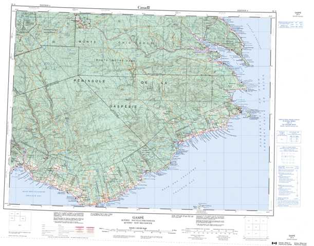
022A Gaspe Topographic Maps
Maps for the Gaspe map sheet 022A at 1:250,000 scale are available in 5 versions:
Topographic Map of Gaspe
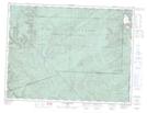
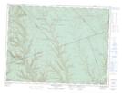
1:50,000 Scale Topos for Gaspe 022A:
 |
 |
 |
 |
 |
 |
 |
 |
 |
 |
 |
 |
 |
 |
 |
022A Related Maps:
022A Gaspe
022A02 Port-Daniel
022A03 New Carlisle
022A04 New Richmond
022A05 Lac Mckay
022A06 Riviere Reboul
022A07 Chandler
022A08 Cap D'Espoir
022A09 Perce
022A10 Grande Riviere Nord
022A11 Mont Alexandre
022A12 Ruisseau Lesseps
022A13 Lac Madeleine
022A14 Lac York
022A15 Sunny-Bank
022A16 Gaspe
022A02 Port-Daniel
022A03 New Carlisle
022A04 New Richmond
022A05 Lac Mckay
022A06 Riviere Reboul
022A07 Chandler
022A08 Cap D'Espoir
022A09 Perce
022A10 Grande Riviere Nord
022A11 Mont Alexandre
022A12 Ruisseau Lesseps
022A13 Lac Madeleine
022A14 Lac York
022A15 Sunny-Bank
022A16 Gaspe
