022C Rimouski Topographic Maps
Maps for the Rimouski map sheet 022C at 1:250,000 scale are available in 5 versions:
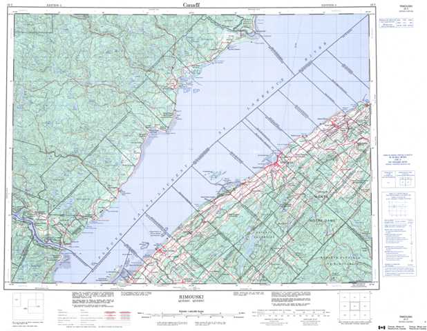
Topographic Map of Rimouski
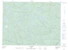
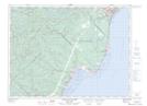
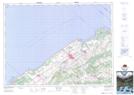
1:50,000 Scale Topos for Rimouski 022C:
 |
 |
 |
|
 |
 |
 |
|
 |
 |
 |
 |
 |
 |
 |
 |
022C Related Maps:
022C Rimouski
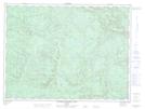
022C01 Lac Prime
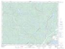
022C02 Lac Des Baies
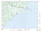
022C03 Trois-Pistoles
022C04 Tadoussac
022C05 Lac De Pons
022C06 Les Escoumins
022C07 Rimouski
022C08 Sainte-Blandine
022C09 Mont-Joli
022C11 Saint-Paul-Du-Nord
022C12 Lac Larrey
022C13 Riviere Portneuf Est
022C14 Lac Cassette
022C15 Betsiamites
022C01 Lac Prime
022C02 Lac Des Baies
022C03 Trois-Pistoles
022C04 Tadoussac
022C05 Lac De Pons
022C06 Les Escoumins
022C07 Rimouski
022C08 Sainte-Blandine
022C09 Mont-Joli
022C11 Saint-Paul-Du-Nord
022C12 Lac Larrey
022C13 Riviere Portneuf Est
022C14 Lac Cassette
022C15 Betsiamites
