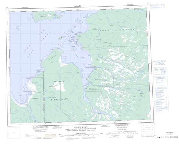
032M Fort-Rupert Topographic Maps
Maps for the Fort-Rupert map sheet 032M at 1:250,000 scale are available in 5 versions:
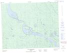
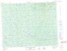
Topographic Map of Fort-Rupert
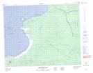
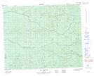
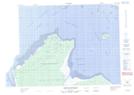
1:50,000 Scale Topos for Fort-Rupert 032M:
 |
 |
||
 |
 |
 |
|
 |
 |
 |
 |
 |
 |
 |
 |
032M Related Maps:
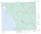
032M Fort-Rupert
032M01 Riviere Natouacamisie
032M02 Ile D'Herbomez
032M03 Riviere Iscouistic
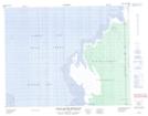
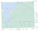
032M04 Francis Island
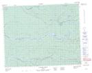
032M05 Petite Riviere Missisicabi
032M06 Riviere Octave
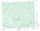
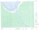
032M07 Fort-Rupert
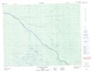
032M08 Colline Jaray
032M09 Colline Pontax
032M10 Pointe Du Bois Brule
032M11 Cabbage Willows Bay
032M15 Boatswain Bay
032M16 Lac Coignan
032M01 Riviere Natouacamisie
032M02 Ile D'Herbomez
032M03 Riviere Iscouistic
032M04 Francis Island
032M05 Petite Riviere Missisicabi
032M06 Riviere Octave
032M07 Fort-Rupert
032M08 Colline Jaray
032M09 Colline Pontax
032M10 Pointe Du Bois Brule
032M11 Cabbage Willows Bay
032M15 Boatswain Bay
032M16 Lac Coignan
