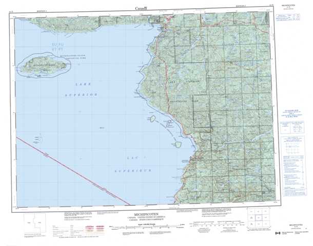
041N Michipicoten Topographic Maps
Maps for the Michipicoten map sheet 041N at 1:250,000 scale are available in 5 versions:
Topographic Map of Michipicoten
1:50,000 Scale Topos for Michipicoten 041N:
 |
 |
 |
 |
 |
 |
 |
|
 |
 |
 |
|
 |
 |
041N Related Maps:
041N Michipicoten
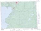
041N01 Batchewana
041N02 Mamainse Point
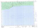
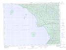
041N05 Lighthouse Island
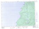
041N07 Agawa Bay
041N08 Grey Owl Lake
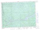
041N09 Blackspruce Lake
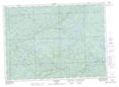
041N10 Old Woman Lake
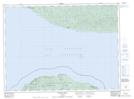
041N12 Michipicoten Island
041N13 Bonner Head
041N14 Dog Harbour
041N15 Michipicoten River
041N16 Kinniwabi Lake
041N01 Batchewana
041N02 Mamainse Point
041N05 Lighthouse Island
041N07 Agawa Bay
041N08 Grey Owl Lake
041N09 Blackspruce Lake
041N10 Old Woman Lake
041N12 Michipicoten Island
041N13 Bonner Head
041N14 Dog Harbour
041N15 Michipicoten River
041N16 Kinniwabi Lake
