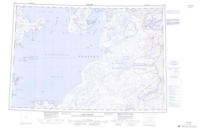
057B Rae Strait Topographic Maps
Maps for the Rae Strait map sheet 057B at 1:250,000 scale are available in 5 versions:
Topographic Map of Rae Strait
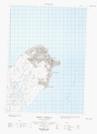
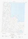
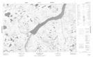
1:50,000 Scale Topos for Rae Strait 057B:
  |
 |
 |
 |
  |
 |
 |
 |
 |
 |
 |
 |
 |
 |
 |
 |
057B Related Maps:
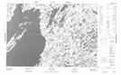
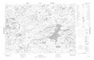
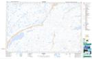
057B Rae Strait
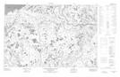
057B01 Murchison Lake
057B02 No Title
057B03 No Title
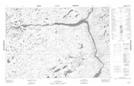
057B04 Cape Britannia
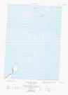
057B05W Hovgaard Islands
057B06 Cape Selkirk
057B07 Castor And Pollux River
057B08 No Title
057B09 Frances Hill
057B10 Inglis River
057B11 Brenda Island
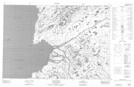
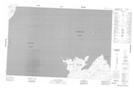
057B12E Gjoa Haven
057B12W Gjoa Haven
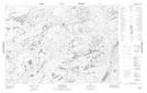
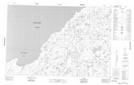
057B13E Gibson Peninsula
057B13W Gibson Peninsula
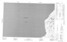
057B14 Beads Island
057B15 Kate Hill
057B16 No Title
057B01 Murchison Lake
057B02 No Title
057B03 No Title
057B04 Cape Britannia
057B05W Hovgaard Islands
057B06 Cape Selkirk
057B07 Castor And Pollux River
057B08 No Title
057B09 Frances Hill
057B10 Inglis River
057B11 Brenda Island
057B12E Gjoa Haven
057B12W Gjoa Haven
057B13E Gibson Peninsula
057B13W Gibson Peninsula
057B14 Beads Island
057B15 Kate Hill
057B16 No Title
