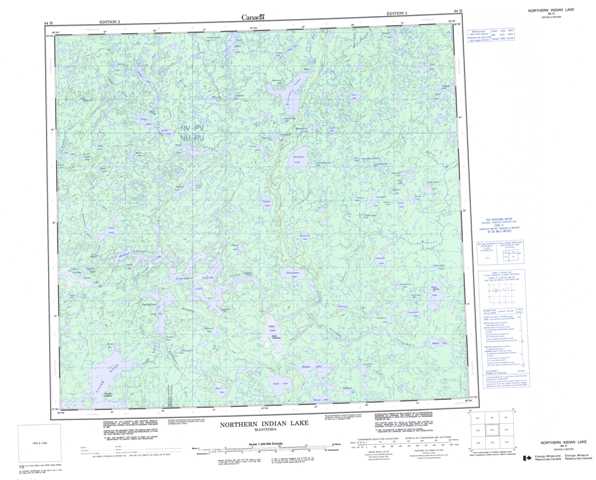
064H Northern Indian Lake Topographic Maps
Maps for the Northern Indian Lake map sheet 064H at 1:250,000 scale are available in 5 versions:
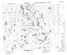
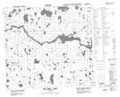
Topographic Map of Northern Indian Lake
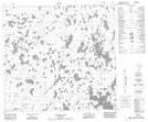
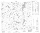
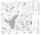
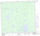
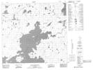
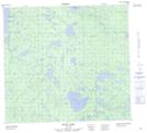
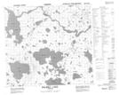
1:50,000 Scale Topos for Northern Indian Lake 064H:
 |
 |
 |
 |
 |
 |
 |
 |
 |
 |
 |
 |
 |
 |
 |
 |
064H Related Maps:
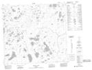
064H Northern Indian Lake
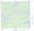
064H01 Billard Lake
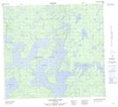
064H02 Holmes Lake
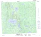
064H03 Hood Lake
064H04 Mcleod Peninsula
064H05 Wood Lake
064H06 Kilfoyle Lake
064H07 Solmundsson Lake
064H08 Freeman Lake
064H09 Rusnak Lake
064H10 Buckland Lake
064H11 Small Lake
064H12 Majury Lake
064H13 Currie Lake
064H14 Knifehead Lake
064H15 Etawney Lake
064H16 Einarson Lake
064H01 Billard Lake
064H02 Holmes Lake
064H03 Hood Lake
064H04 Mcleod Peninsula
064H05 Wood Lake
064H06 Kilfoyle Lake
064H07 Solmundsson Lake
064H08 Freeman Lake
064H09 Rusnak Lake
064H10 Buckland Lake
064H11 Small Lake
064H12 Majury Lake
064H13 Currie Lake
064H14 Knifehead Lake
064H15 Etawney Lake
064H16 Einarson Lake
