065G Watterson Lake Topographic Maps
Maps for the Watterson Lake map sheet 065G at 1:250,000 scale are available in 5 versions:
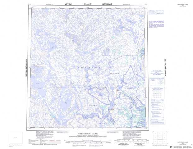
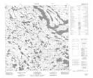
Topographic Map of Watterson Lake
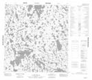
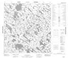
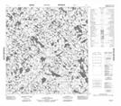
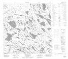
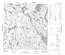
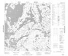
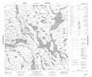
1:50,000 Scale Topos for Watterson Lake 065G:
 |
 |
 |
 |
 |
 |
 |
 |
 |
 |
 |
 |
 |
 |
 |
 |
065G Related Maps:
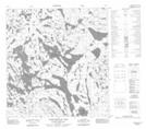
065G Watterson Lake
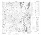
065G01 Ducker Lake
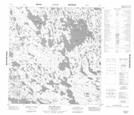
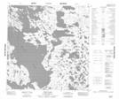
065G02 Hawk Hill Lake
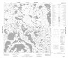
065G03 Vera Lake
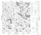
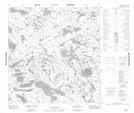
065G04 No Title
065G05 Hicks Lake
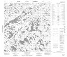
065G06 No Title
065G07 No Title
065G08 Bernier Lake
065G09 No Title
065G10 Krekot Lake
065G11 Sutcliffe Lake
065G12 Boland Lake
065G13 No Title
065G14 No Title
065G15 No Title
065G16 Carnecksluck Lake
065G01 Ducker Lake
065G02 Hawk Hill Lake
065G03 Vera Lake
065G04 No Title
065G05 Hicks Lake
065G06 No Title
065G07 No Title
065G08 Bernier Lake
065G09 No Title
065G10 Krekot Lake
065G11 Sutcliffe Lake
065G12 Boland Lake
065G13 No Title
065G14 No Title
065G15 No Title
065G16 Carnecksluck Lake
