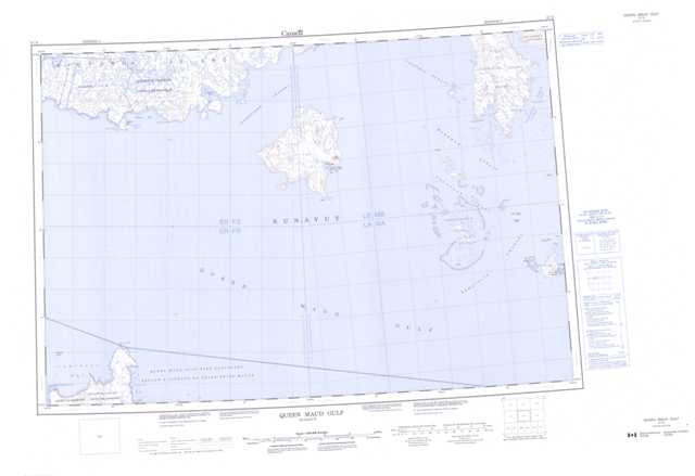
067B Queen Maud Gulf Topographic Maps
Maps for the Queen Maud Gulf map sheet 067B at 1:250,000 scale are available in 5 versions:
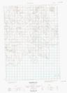
Topographic Map of Queen Maud Gulf
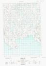
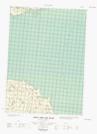
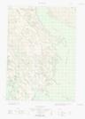
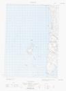
1:50,000 Scale Topos for Queen Maud Gulf 067B:
  |
  |
 |
  |
 |
 |
  |
|
  |
|||
  |
067B Related Maps:
067B Queen Maud Gulf
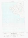
067B04E Whitebear Point
067B04W Whitebear Point
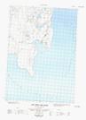
067B08E Hat Island
067B08W Hat Island
067B09E Bryde Island
067B09W Bryde Island
067B10W East Jenny Lind Island
067B11E West Jenny Lind Island
067B13E Parker Bay
067B13W Parker Bay
067B14E Stromness Bay
067B14W Stromness Bay
067B15W North Jenny Lind Island
067B16E No Title
067B16W
067B04E Whitebear Point
067B04W Whitebear Point
067B08E Hat Island
067B08W Hat Island
067B09E Bryde Island
067B09W Bryde Island
067B10W East Jenny Lind Island
067B11E West Jenny Lind Island
067B13E Parker Bay
067B13W Parker Bay
067B14E Stromness Bay
067B14W Stromness Bay
067B15W North Jenny Lind Island
067B16E No Title
067B16W
