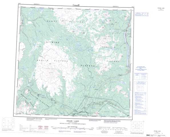
104J Dease Lake Topographic Maps
Maps for the Dease Lake map sheet 104J at 1:250,000 scale are available in 5 versions:
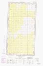
Topographic Map of Dease Lake
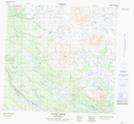
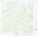
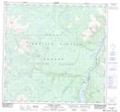
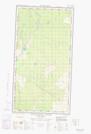
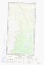
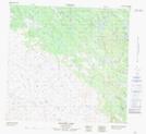
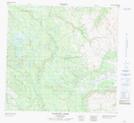
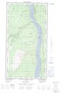
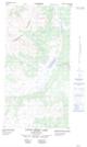
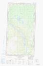
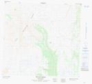
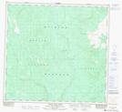
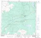
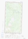
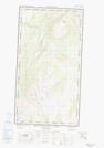
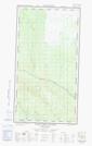
1:50,000 Scale Topos for Dease Lake 104J:
  |
 |
 |
 |
  |
 |
 |
  |
  |
 |
 |
 |
  |
  |
  |
  |
104J Related Maps:
104J Dease Lake
104J01E Stikine Canyon
104J01W Stikine Canyon
104J02E Classy Creek
104J02W Classy Creek
104J03E Tahltan River
104J03W Tahltan River
104J04E Kennicott Lake
104J04W Kennicott Lake
104J05E Ketchum Lake
104J05W Ketchum Lake
104J06 Beatty Creek
104J07 Little Tuya River
104J08 Dease Lake
104J09E Little Dease Lake
104J09W Little Dease Lake
104J10 Tachilta Lakes
104J11 Granite Lake
104J12E Dudidontu River
104J12W Dudidontu River
104J13E Prairie Lake
104J13W Prairie Lake
104J14 Kawdy Creek
104J15 Calata Lake
104J16 Porter Landing
