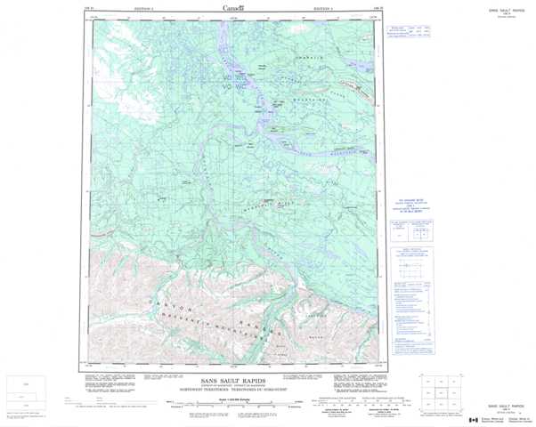
106H Sans Sault Rapids Topographic Maps
Maps for the Sans Sault Rapids map sheet 106H at 1:250,000 scale are available in 5 versions:
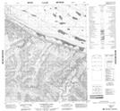
Topographic Map of Sans Sault Rapids
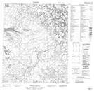
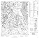
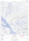
1:50,000 Scale Topos for Sans Sault Rapids 106H:
 |
 |
 |
 |
 |
 |
 |
 |
 |
 |
 |
 |
 |
 |
 |
 |
106H Related Maps:
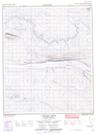
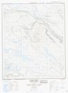
106H Sans Sault Rapids
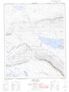
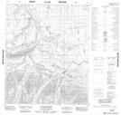
106H01 Florence Lake
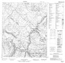
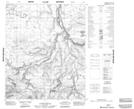
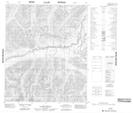
106H02 Brunson Creek
106H03 No Title
106H04 No Title
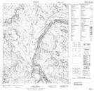
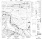
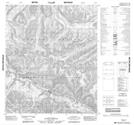
106H05 Elbow Creek
106H06 No Title
106H07 Campsite Creek
106H08 Rankin Creek
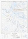
106H09 Carcajou Ridge
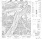
106H10 Sans Sault Rapids
106H11 No Title
106H12 No Title
106H13 No Title
106H14 No Title
106H15 Beavertail
106H16 Chick Lake
106H01 Florence Lake
106H02 Brunson Creek
106H03 No Title
106H04 No Title
106H05 Elbow Creek
106H06 No Title
106H07 Campsite Creek
106H08 Rankin Creek
106H09 Carcajou Ridge
106H10 Sans Sault Rapids
106H11 No Title
106H12 No Title
106H13 No Title
106H14 No Title
106H15 Beavertail
106H16 Chick Lake
