Free Lac Peribonca Topographic Map
Topo maps you can print: 022L Lac Peribonca
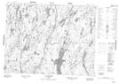
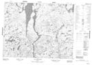
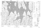
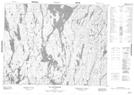
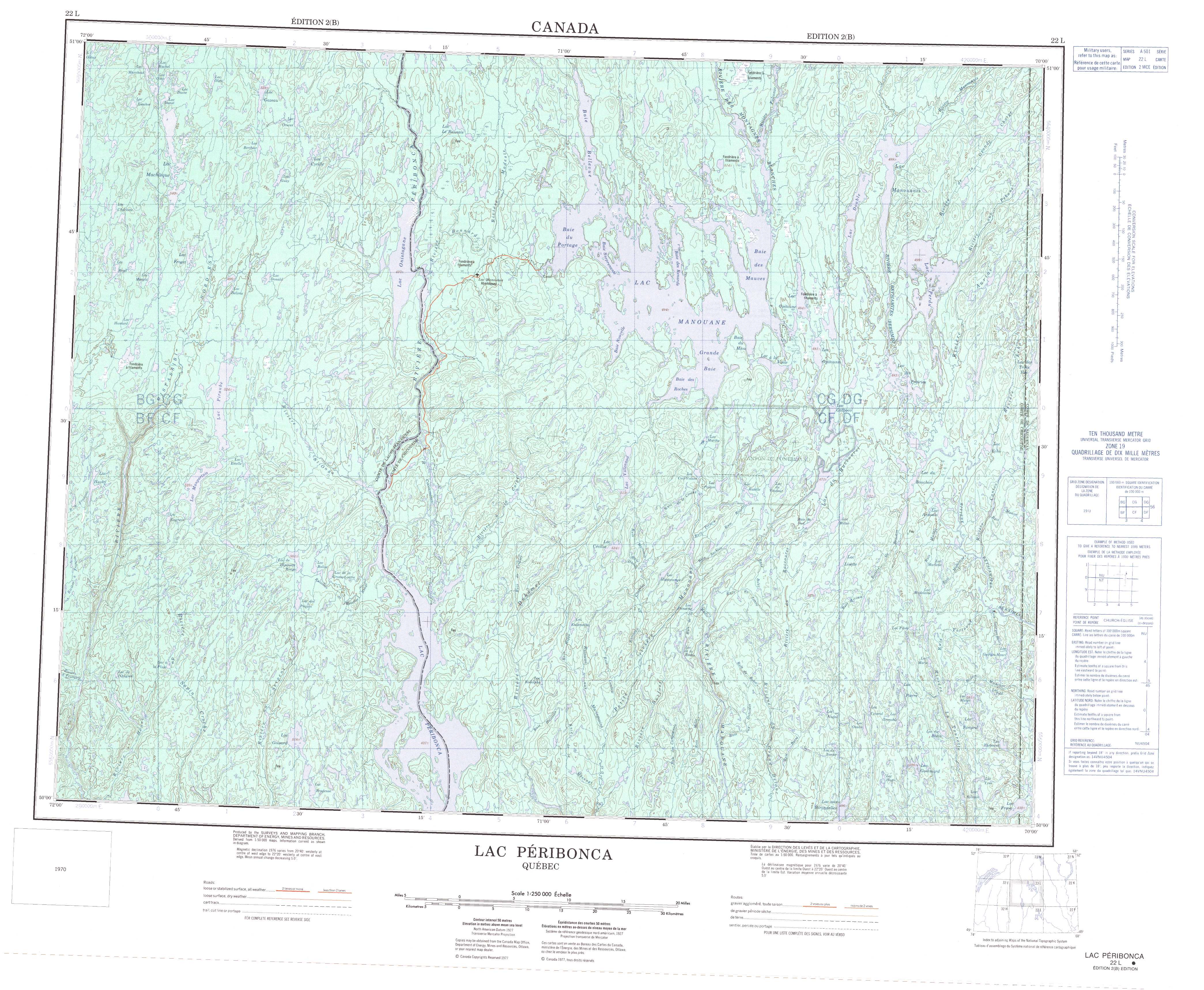
022L Lac Peribonca Topo Map
To view this map, mouse over the map preview on the right.
You can also download and print this topo map for free:
022L Lac Peribonca low-resolution printable topographic map.
A high-resolution map of Lac Peribonca is available on Data-DVD.
Maps for the Lac Peribonca map sheet 022L at 1:250,000 scale are also available in these 4 versions:
Lac Peribonca Surrounding Area Topographic Maps at 1:250,000 scale (NTS 022)
 |
 |
 |
 |
 |
 |
 |
 |
 |
 |
 |
 |
 |
 |
 |
 |
© Department of Natural Resources Canada. All rights reserved.
Lac Peribonca Topo Maps at 1:50,000 (NTS 022L)
 |
 |
 |
 |
 |
 |
 |
 |
 |
 |
 |
 |
 |
 |
 |
 |
© Department of Natural Resources Canada. All rights reserved.
© Department of Natural Resources Canada. All rights reserved.
022L Related Maps:
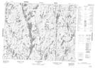
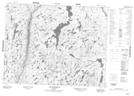
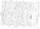
022L Lac Peribonca022L01 Lac Gommard
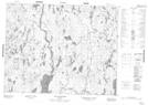
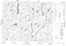
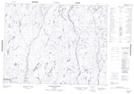
022L02 Riviere Durfort
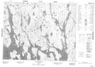
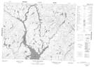
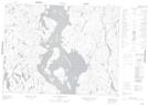
022L03 Lac Peribonca
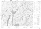
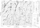
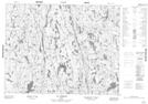
022L04 Lac A La Pluie
022L05 Lac Maupertuis
022L06 Riviere Cocoumenen
022L07 Lac Eluard
022L08 Lac Du Raccourci
022L09 Lac Des Prairies
022L10 Grande Baie
022L11 Lac Onistagane
022L12 Lac Piraube
022L13 Lac Machisque
022L14 Lac Le Bausais
022L15 Baie Bellevue
022L16 Lac Manouanis
