Free Kaskattama River Topographic Map
Topo maps you can print: 054B Kaskattama River
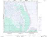
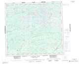
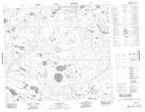
054B Kaskattama River Topo Map
To view this map, mouse over the map preview on the right.
You can also download and print this topo map for free:
054B Kaskattama River low-resolution printable topographic map.
A high-resolution map of Kaskattama River is available on Data-DVD.
Maps for the Kaskattama River map sheet 054B at 1:250,000 scale are also available in these 4 versions:
Kaskattama River Surrounding Area Topographic Maps at 1:250,000 scale (NTS 054)
 |
|||
 |
 |
||
 |
 |
 |
|
 |
 |
 |
 |
© Department of Natural Resources Canada. All rights reserved.
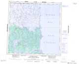
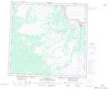
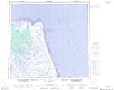
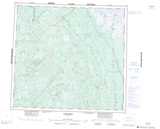
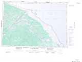
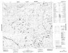
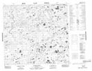
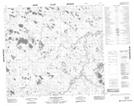
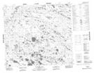
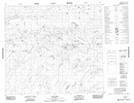
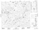
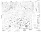
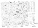
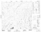
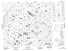
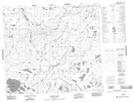
Kaskattama River Topo Maps at 1:50,000 (NTS 054B)
 |
 |
 |
 |
 |
 |
 |
 |
 |
 |
 |
 |
 |
 |
 |
 |
© Department of Natural Resources Canada. All rights reserved.

© Department of Natural Resources Canada. All rights reserved.
054B Related Maps:
054B Kaskattama River054B01 Spector Lake
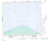
054B02 Callan Lake
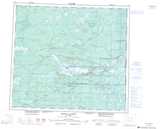
054B03 Burgess Lake
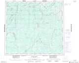
054B04 Pryor Lake
054B05 Adie Creek
054B06 Kiln Creek
054B07 Bouchard Lake
054B08 Forsberg Lake
054B09 Neufeld Lake
054B10 Minaker Lake
054B11 Schroeder Lake
054B12 Tagg Creek
054B13 No Title
054B14 Fargey Creek
054B15 No Title
054B16 Comeault Creek
