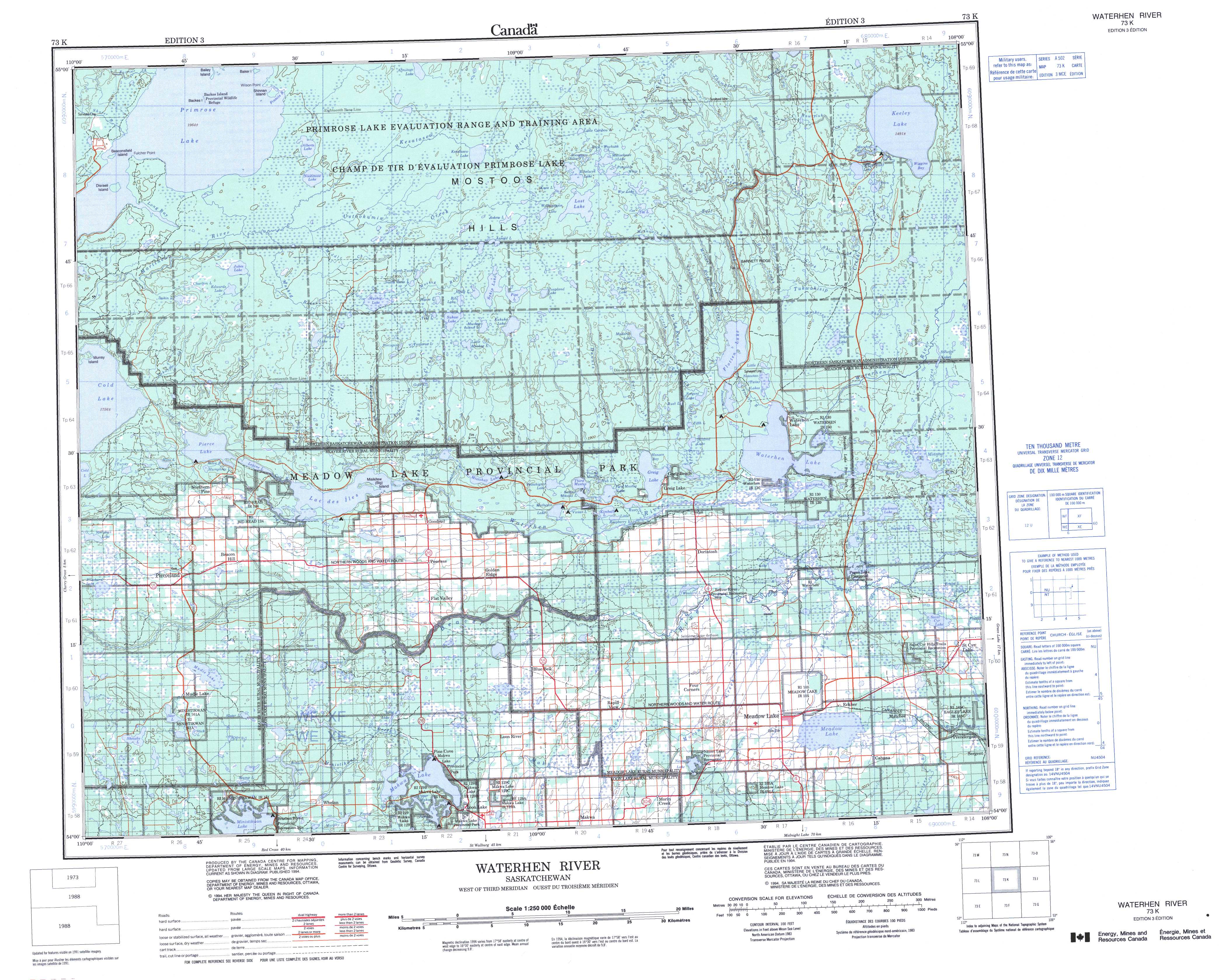
Free Waterhen River Topographic Map
Topo maps you can print: 073K Waterhen River
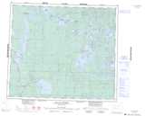
073K Waterhen River Topo Map
To view this map, mouse over the map preview on the right.
You can also download and print this topo map for free:
073K Waterhen River low-resolution printable topographic map.
A high-resolution map of Waterhen River is available on Data-DVD.
Maps for the Waterhen River map sheet 073K at 1:250,000 scale are also available in these 4 versions:
Waterhen River Surrounding Area Topographic Maps at 1:250,000 scale (NTS 073)
 |
 |
 |
 |
 |
 |
 |
 |
 |
 |
 |
 |
 |
 |
 |
 |
© Department of Natural Resources Canada. All rights reserved.
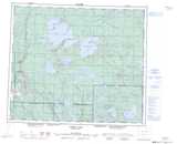
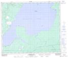
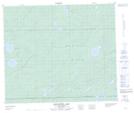
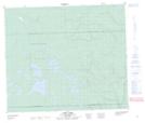
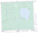
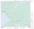
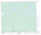
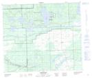
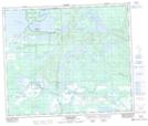
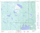
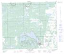
Waterhen River Topo Maps at 1:50,000 (NTS 073K)
 |
 |
 |
 |
 |
 |
 |
 |
 |
 |
 |
 |
 |
 |
 |
 |
© Department of Natural Resources Canada. All rights reserved.
© Department of Natural Resources Canada. All rights reserved.
073K Related Maps:
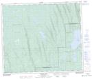
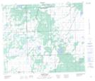
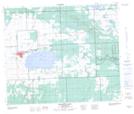
073K Waterhen River073K01 Meadow Lake
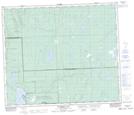
073K02 Rapid View
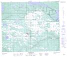
073K03 Makwa Lake
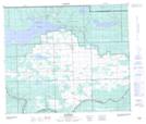
073K04 Ministikwan Lake
073K05 Pierceland
073K06 Goodsoil
073K07 Dorintosh
073K08 Island Hill
073K09 Waterhen Lake
073K10 Flotten Lake
073K11 Muskeg Lake
073K12 Cold River
073K13 Primrose Lake
073K14 Kesatasew Lake
073K15 Lost Lake
073K16 Keeley Lake
