Free Kathawachaga Lake Topographic Map
Topo maps you can print: 076L Kathawachaga Lake
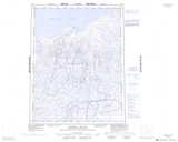
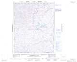
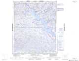
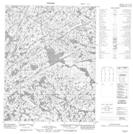
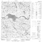
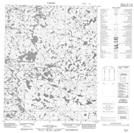
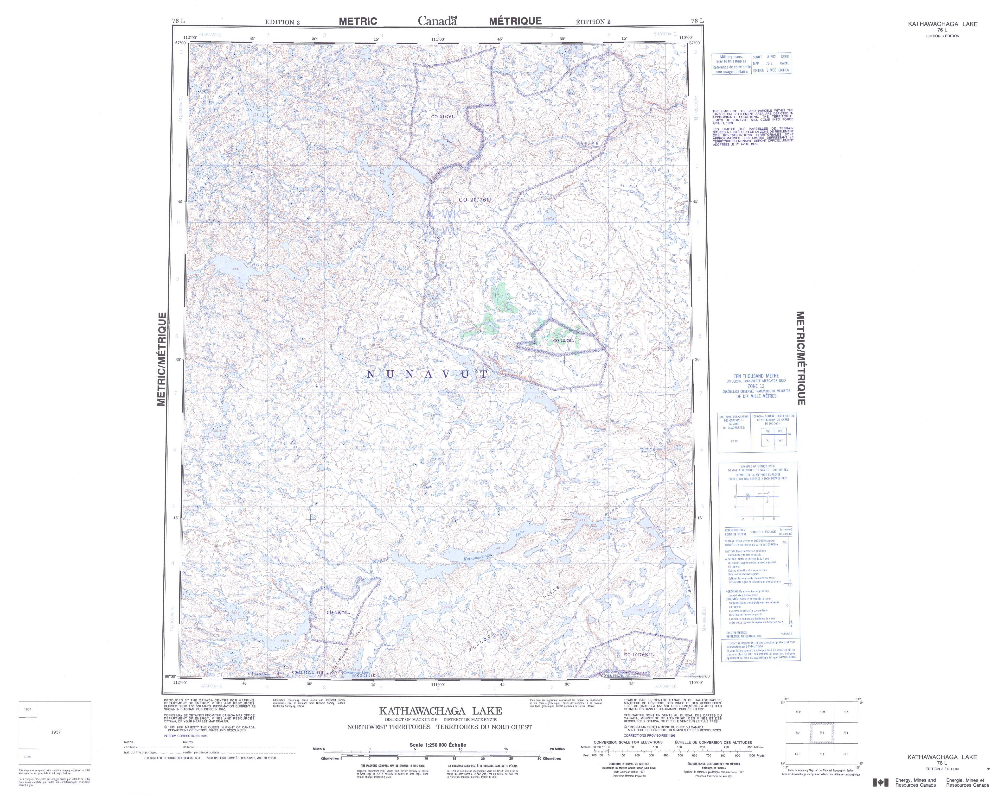
076L Kathawachaga Lake Topo Map
To view this map, mouse over the map preview on the right.
You can also download and print this topo map for free:
076L Kathawachaga Lake low-resolution printable topographic map.
A high-resolution map of Kathawachaga Lake is available on Data-DVD.
Maps for the Kathawachaga Lake map sheet 076L at 1:250,000 scale are also available in these 4 versions:
Kathawachaga Lake Surrounding Area Topographic Maps at 1:250,000 scale (NTS 076)
 |
 |
 |
 |
 |
 |
 |
 |
 |
 |
 |
 |
 |
 |
 |
 |
© Department of Natural Resources Canada. All rights reserved.
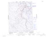
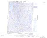
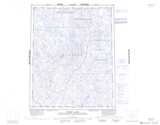
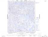
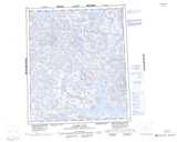
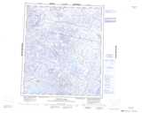
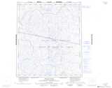
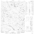
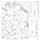
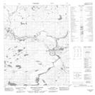
Kathawachaga Lake Topo Maps at 1:50,000 (NTS 076L)
 |
 |
 |
 |
 |
 |
 |
 |
 |
 |
 |
 |
 |
 |
 |
 |
© Department of Natural Resources Canada. All rights reserved.
© Department of Natural Resources Canada. All rights reserved.
076L Related Maps:
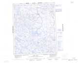
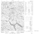
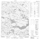
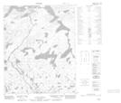
076L Kathawachaga Lake076L01 No Title
076L02 Kathawachaga Lake
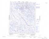
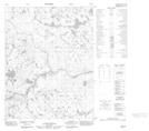
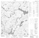
076L03 Belanger Rapids
076L04 No Title
076L05 No Title
076L06 No Title
076L07 No Title
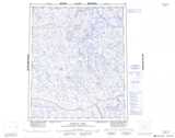
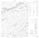
076L08 Bellanca Rapids
076L09 No Title
076L10 No Title
076L11 No Title
076L12 No Title
076L13 No Title
076L14 No Title
076L15 No Title
076L16 No Title
