Free Fontas River Topographic Map
Topo maps you can print: 094I Fontas River
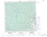
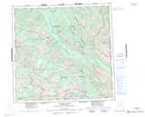
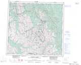
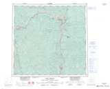
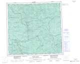
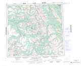
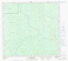
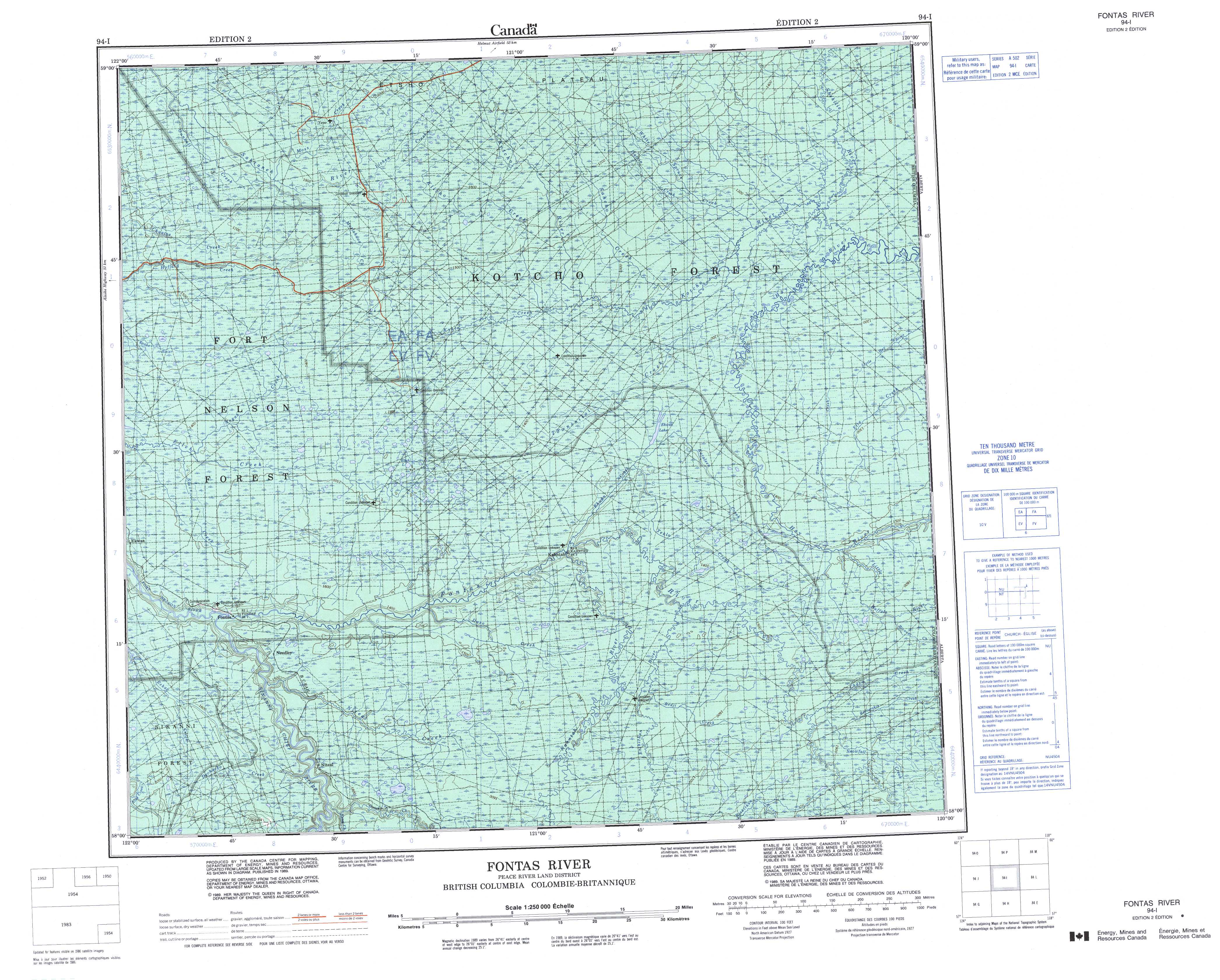
094I Fontas River Topo Map
To view this map, mouse over the map preview on the right.
You can also download and print this topo map for free:
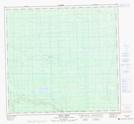
094I Fontas River low-resolution printable topographic map.
A high-resolution map of Fontas River is available on Data-DVD.
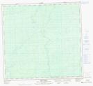
Maps for the Fontas River map sheet 094I at 1:250,000 scale are also available in these 4 versions:
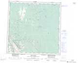
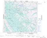
Fontas River Surrounding Area Topographic Maps at 1:250,000 scale (NTS 094)
 |
 |
 |
 |
 |
 |
 |
 |
 |
 |
 |
 |
 |
 |
 |
 |
© Department of Natural Resources Canada. All rights reserved.
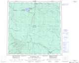
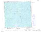
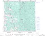
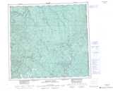
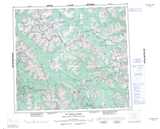
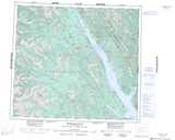
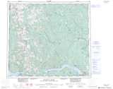
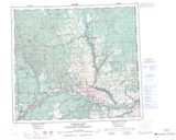
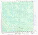
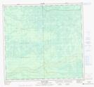
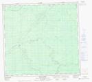
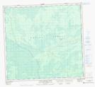
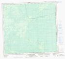
Fontas River Topo Maps at 1:50,000 (NTS 094I)
| |
|
|
|
| |
|
|
|
 |
 |
 |
 |
 |
 |
 |
 |
© Department of Natural Resources Canada. All rights reserved.
© Department of Natural Resources Canada. All rights reserved.
094I Related Maps:
094I Fontas River094I01 Beaverskin Creek
094I02 Bedji Creek
094I03 Niteal Creek
094I04 Dehacho Creek
094I05 Fontas
094I06 Elleh Lake
094I07 Ekwan Creek
094I08 Little Buffalo River
094I09E Timberwolf Creek
094I09W Timberwolf Creek
094I10E Townsoitoi Creek
094I10W Townsoitoi Creek
094I11E Kyklo Creek
094I11W Kyklo Creek
094I12E Nogah Creek
094I12W Nogah Creek
094I13E Gunnell Creek
094I13W Gunnell Creek
094I14E Lichen Creek
094I14W Lichen Creek
094I15E Datcin Creek
094I15W Datcin Creek
094I16E Shekilie River
094I16W Shekilie River
