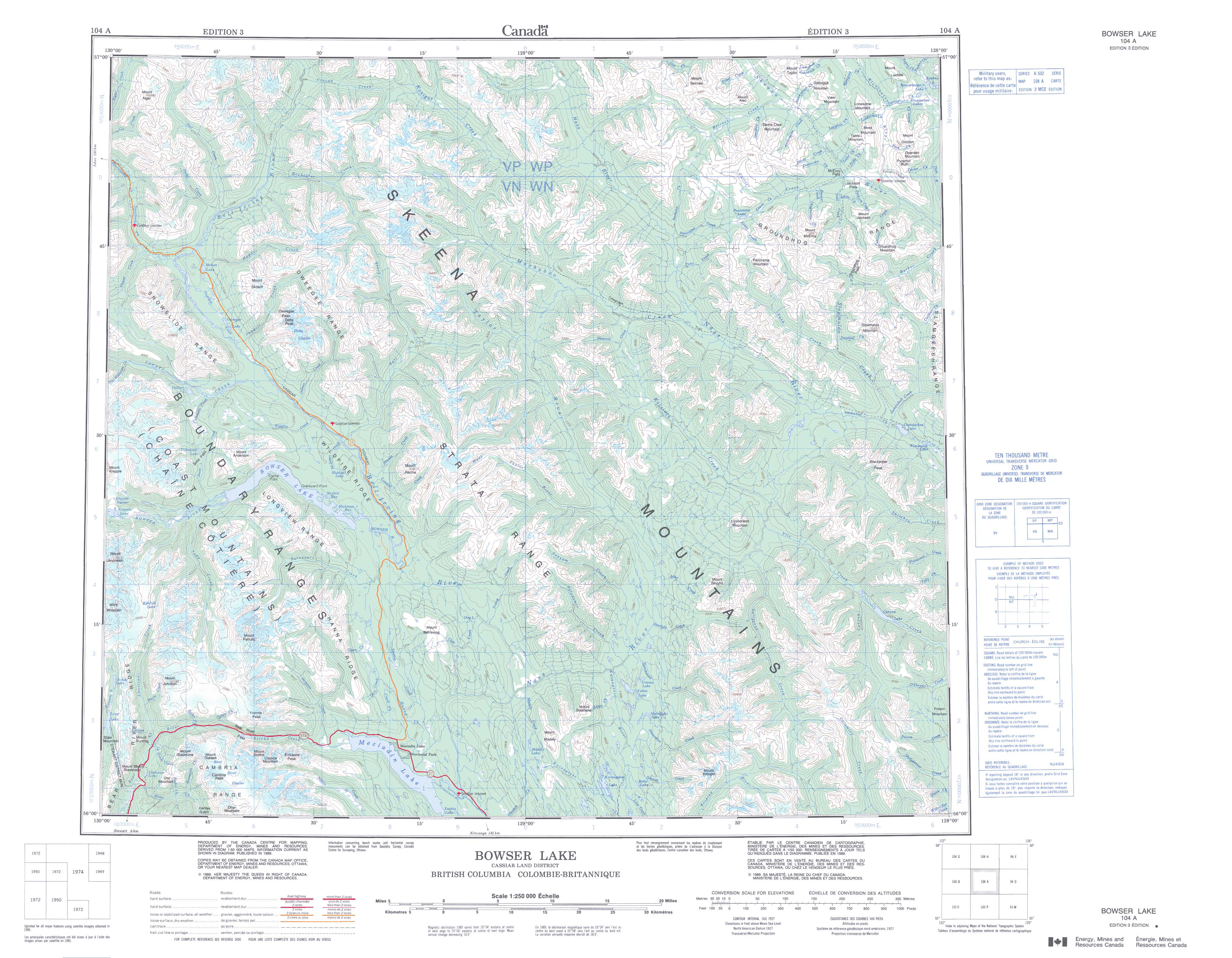
Free Bowser Lake Topographic Map
Topo maps you can print: 104A Bowser Lake
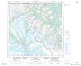
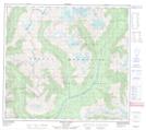
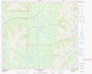
104A Bowser Lake Topo Map
To view this map, mouse over the map preview on the right.
You can also download and print this topo map for free:
104A Bowser Lake low-resolution printable topographic map.
A high-resolution map of Bowser Lake is available on Data-DVD.
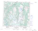
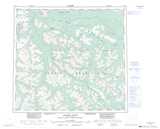
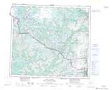
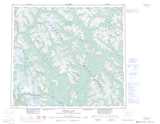
Maps for the Bowser Lake map sheet 104A at 1:250,000 scale are also available in these 4 versions:
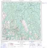
Bowser Lake Surrounding Area Topographic Maps at 1:250,000 scale (NTS 104)
 |
 |
 |
 |
 |
 |
 |
|
 |
 |
 |
|
 |
 |
© Department of Natural Resources Canada. All rights reserved.
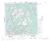
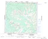
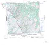
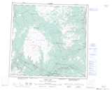
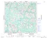
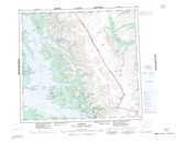
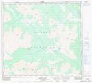
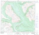
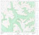
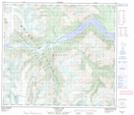
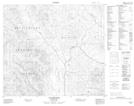
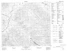
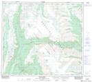
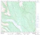
Bowser Lake Topo Maps at 1:50,000 (NTS 104A)
 |
 |
 |
 |
 |
 |
 |
|
 |
|
 |
 |
 |
 |
 |
 |
© Department of Natural Resources Canada. All rights reserved.
© Department of Natural Resources Canada. All rights reserved.
104A Related Maps:
104A Bowser Lake104A01 Sallysout Creek
104A02 Kwinageese River
104A03 Meziadin Lake
104A04 Bear River
104A05 Bowser Lake
104A06E Bell-Irving River
104A06W Bell-Irving River
104A07 Taylor River
104A08 Blackwater Peak
104A09E Damdochax Lake
104A09W Damdochax Lake
104A10 Muskaboo Creek
104A11 Taft Creek
104A12 Delta Peak
104A13 Mount Alger
104A14 Konigus Creek
104A15 Mount Beirnes
104A16 Mcevoy Flats
