Free Stevenson Ridge Topographic Map
Topo maps you can print: 115J Stevenson Ridge
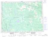
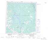
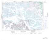
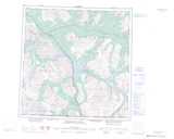
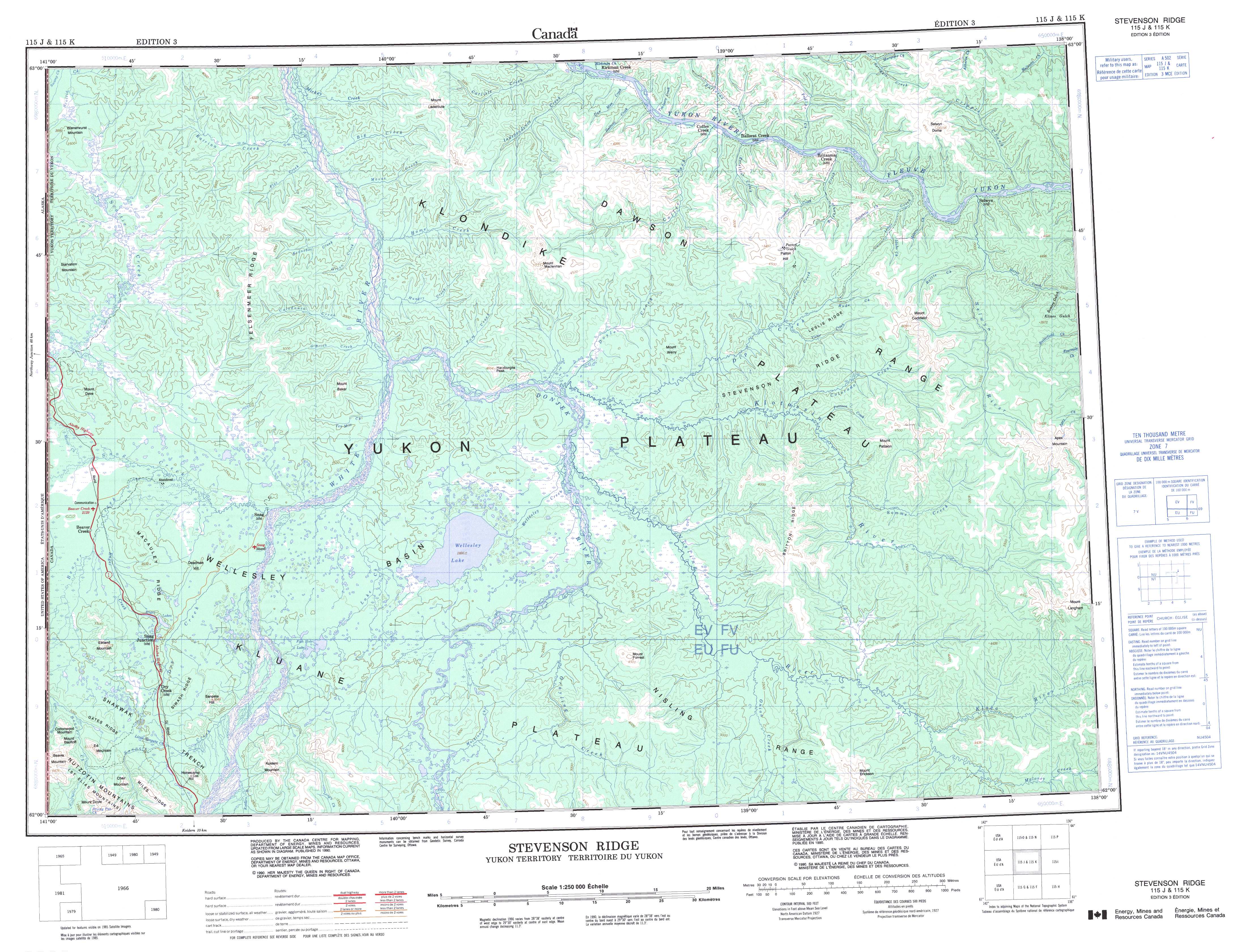
115J Stevenson Ridge Topo Map
To view this map, mouse over the map preview on the right.
You can also download and print this topo map for free:
115J Stevenson Ridge low-resolution printable topographic map.
A high-resolution map of Stevenson Ridge is available on Data-DVD.
Maps for the Stevenson Ridge map sheet 115J at 1:250,000 scale are also available in these 4 versions:
Stevenson Ridge Surrounding Area Topographic Maps at 1:250,000 scale (NTS 115)
 |
 |
||
 |
 |
||
 |
 |
||
 |
 |
© Department of Natural Resources Canada. All rights reserved.
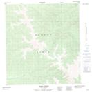
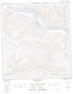
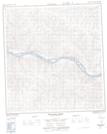
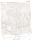
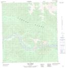
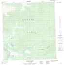
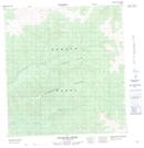
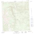
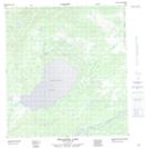
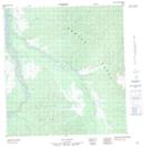
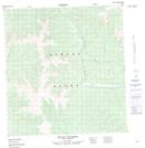
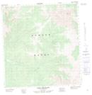
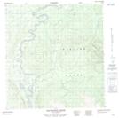
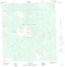
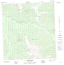
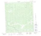
Stevenson Ridge Topo Maps at 1:50,000 (NTS 115J)
 |
 |
 |
 |
 |
 |
 |
 |
 |
 |
 |
 |
 |
 |
 |
 |
© Department of Natural Resources Canada. All rights reserved.
© Department of Natural Resources Canada. All rights reserved.
115J Related Maps:
115J Stevenson Ridge115J01 Klaza River
115J02 Onion Creek
115J03 No Title
115J04 Mackinnon Creek
115J05 Wellesley Lake
115J06 No Title
115J07 Mount Pattison
115J08 Apex Mountain
115J09 Selwyn River
115J10 Colorado Creek
115J11 Doyle Creek
115J12 Tom Creek
115J13 Home Creek
115J14 Coffee Creek
115J15 Britannia Creek
115J16 Cripple Creek
