Free Stewart River Topographic Map
Topo maps you can print: 115O Stewart River
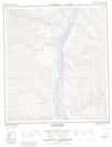
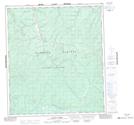
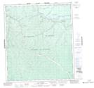
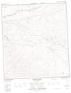
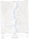
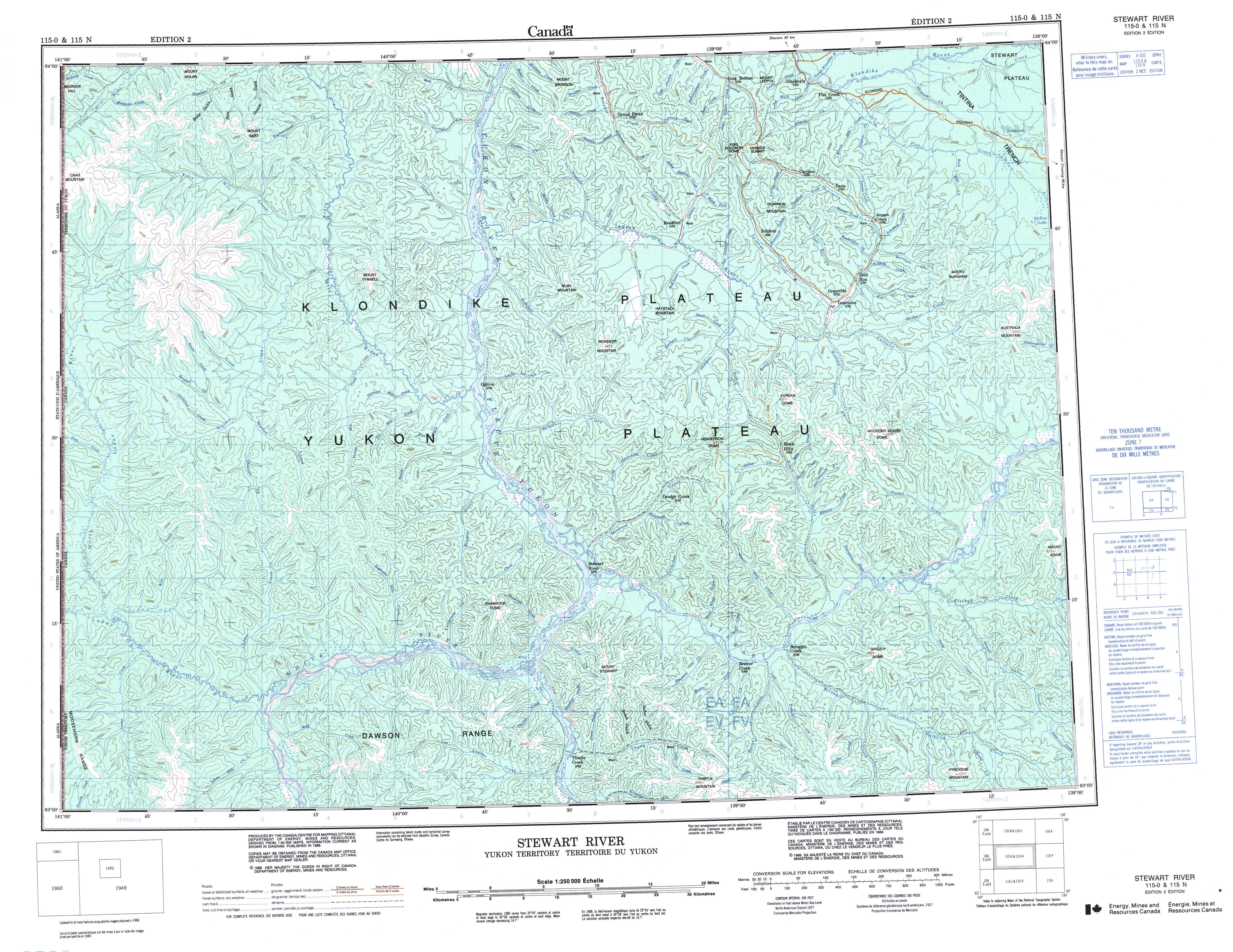
115O Stewart River Topo Map
To view this map, mouse over the map preview on the right.
You can also download and print this topo map for free:
115O Stewart River low-resolution printable topographic map.
A high-resolution map of Stewart River is available on Data-DVD.
Maps for the Stewart River map sheet 115O at 1:250,000 scale are also available in these 4 versions:
Stewart River Surrounding Area Topographic Maps at 1:250,000 scale (NTS 115)
 |
 |
||
 |
 |
||
 |
 |
||
 |
 |
© Department of Natural Resources Canada. All rights reserved.
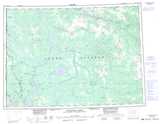
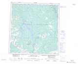
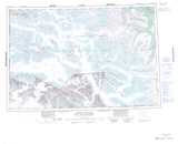
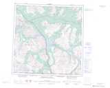
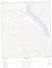
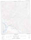
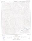
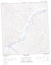
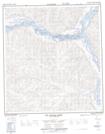
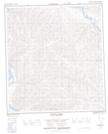
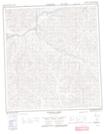
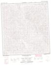
Stewart River Topo Maps at 1:50,000 (NTS 115O)
 |
 |
 |
 |
 |
 |
 |
 |
 |
 |
 |
 |
 |
 |
 |
 |
© Department of Natural Resources Canada. All rights reserved.
© Department of Natural Resources Canada. All rights reserved.
115O Related Maps:
115O Stewart River115O01 Pyroxene Mountain
115O02 Scroggie Creek
115O03 Thistle Creek
115O04 Los Angeles Creek
115O05 Excelsior Creek
115O06 Stewart River
115O07 Black Hills Creek
115O08 Rosebud Creek
115O09 Australia Mountain
115O10 Granville
115O11 Reindeer Mountain
115O12 Ogilvie
115O13 Garner Creek
115O14 Grand Forks
115O15 Flat Creek
115O16 Medrick Creek
