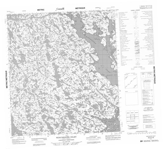
055O16 Winchester Inlet Maps
Maps for the Winchester Inlet map sheet 055O16 at 1:50,000 scale are available in several versions:
Topographic Paper Map: Winchester Inlet 055O16
 © Department of Natural Resources Canada. All rights reserved.
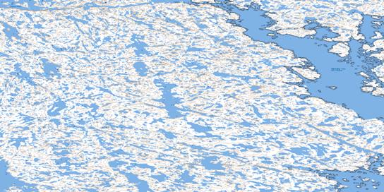
Download Free Topographic Map of Winchester Inlet
 © Department of Natural Resources Canada. All rights reserved.
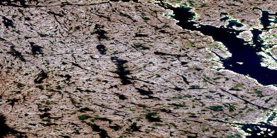
Download Free Satellite Image of Winchester Inlet
 © Department of Natural Resources Canada. All rights reserved.
