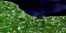
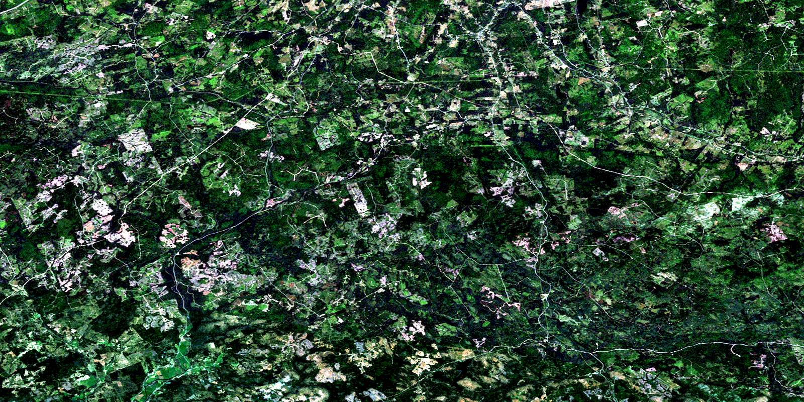
Hopewell Satellite Image Map
Download Free Aerial Photo 011E07 at 1:50,000 scale
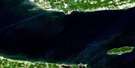
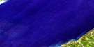
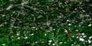
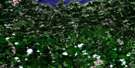
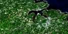
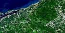
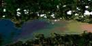
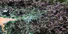
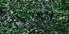
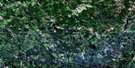
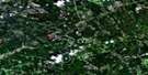
Hopewell Satellite Imagery
To view this satellite map, mouse over the air photo on the right.
You can also download this satellite image map for free:
011E07 Hopewell high-resolution satellite image map.
Maps for the Hopewell aerial map sheet 011E07 at 1:50,000 scale are also available in these versions:
Hopewell Surrounding Area Aerial Photo Maps
 |
 |
 |
 |
 |
 |
 |
 |
 |
 |
 |
 |
 |
 |
 |
 |
© Department of Natural Resources Canada. All rights reserved.
Hopewell Gazetteer
The following places can be found on satellite image map 011E07 Hopewell:
Hopewell Satellite Image: Geographical areas
ColchesterGuysborough
Halifax
Pictou
Hopewell Satellite Image: Lakes
Archies LakeBarren Lake
Beaver Lake
Ben Lake
Big Brook Lake
Black Brook Lakes
Black Lake
Botany Bay Lake
Bottle Brook Lake
Calder Lake
Caribou Lake
Cranberry Lake
Cranberry Lake
Crane Pond
Dean Lake
Dickey Lake
Drug Lake
Dryden Lake
Duck Lake
Duck Lake
Dunbar Lake
Dunn Lake
East Loon Lake
Elbow Lake
Ellen Brown Lake
Fish Lake
Forbes Lake
Gairloch Lake
Gordon Lake
Grandfathers Lake
Grant Lake
Hattie Lake
Hood Lake
Island Lake
Jenny Lake
Johnson Lake
Lansdowne Lake
Little Ellen Brown Lake
Little Johnson Lake
Little Lake
Little Lake
Long John Lake
Long Lake
Loon Lakes
Loon Lakes
Loon Lakes
Loon Lakes
MacDonald Lake
MacLean Lake
MacPhersons Lake
Maple Lake
McIntosh Lake
McKinnon Lake
McQuarrie Lake
Meadow Lake
Moose Lake
Mud Lake
Murdoch Lake
Nelson Lake
North River Lake
Otter Brook Lake
Perch Lake
Perch Lake
Pictou Lake
Piper Lake
Porcupine Lake
Roops Lake
Round Lake
Round Lake
Russell Lake
Sammys Lake
Semple Lake
South Loon Lake
Speichts Lakes
Speid Lake
Sucker Lake
Sucker Lake
The Millpond
Tim Lake
West Branch Lake
West Loon Lake
Hopewell Satellite Image: Mountains
Drug Brook HillKincaid Mountain
Moiche Hill
Mount Thom
Hopewell Satellite Image: Major municipal/district area - major agglomerations
ColchesterHalifax
Pictou
St. Mary's
Hopewell Satellite Image: Conservation areas
Liscomb Game SanctuarySunnybrae Game Sanctuary
Hopewell Satellite Image: Rivers
Archibald BrookBeaver Brook
Bentley Brook
Big Branch Stewiacke River
Big Brook
Big Island Brook
Big Stewiacke River
Black Brook
Black Brook
Black River
Blanchard Brook
Bog Island Lake Brook
Bryden Brook
Calvary River
Calvary Stream
Cameron Brook
Castley Brook
Cox Brook
Crooked Brook
Cross Brook
Doggett Brook
Drug Brook
East Bryden Brook
East River
East River of Pictou
Fall Brook
Fulton Brook
Gairloch Brook
Glencoe Brook
Gorman Brook
Grants Brook
Holmes Brook
Jack Brook
Johnny Brook
Lime Brook
Little Branch Cox Brook
Little Branch Stewiacke River
Little Stewiacke River
Mahailas Brook
Maple Brook
McDonald Brook
McLellan Brook
McLellans Brook
Meadow Brook
Middle Bryden Brook
Middle River
Middle River of Pictou
Millstream Brook
Nelson River
North Branch Nelson River
North Nelson River
Otter Brook
Pembroke River
Sam Cameron Brook
Scrub Grass Brook
South Brook
Spring Brook
Stewiacke River
Sucker Brook
Sutherland Brook
Tannery Brook
Upper Bryden Brook
Watervale Brook
West Branch East River
West River
West River of Pictou
West River St. Mary
West River St. Marys
West River St. Mary's
Hopewell Satellite Image: River features
Bezanson StillwatersBill Weir Stillwaters
Castley Pools
Rhynos Landing Stillwater
Hopewell Satellite Image: Unincorporated areas
Black RockBridgeville
Brookville
Burnside
Campbells Siding
Centredale
Charcoal
Concord
Coromonie
East Loon Lake Village
Eastville
Elgin
Eureka
Ferrona
Gairloch
Glenbervie
Glencoe
Glengarry Station
Gordon Summit
Graham Hill
Hopewell
Iron Rock
Island
Island East River
Lansberg Siding
Lansdowne
Lansdowne Station
Lorne
Marshdale
Millstream
New Gairloch
New Lairg
Pembroke
Rocklin
Sheepherders Junction
Springside
Springville
St. Paul
St. Pauls
Sunny Brae
Sunnybrae
Trafalgar
Upper Burnside
Watervale
Websters Corner
West River Station
White Hill
Hopewell Satellite Image: Low vegetation
Honeymoon BogJacks Meadow
© Department of Natural Resources Canada. All rights reserved.
011E Related Maps:
011E Truro011E01 Liscomb
011E02 Upper Musquodoboit
011E03 Shubenacadie
011E04 Kennetcook
011E05 Bass River
011E06 Truro
011E07 Hopewell
011E08 Lochaber
011E09 Merigomish
011E10 New Glasgow
011E11 Tatamagouche
011E12 Oxford
011E13 Pugwash
011E14 Malagash
011E15 Pictou Island
011E16 Malignant Cove
