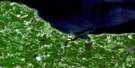
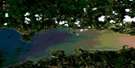
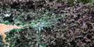
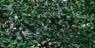
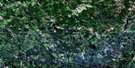
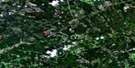
New Glasgow Satellite Image Map
Download Free Aerial Photo 011E10 at 1:50,000 scale
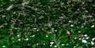
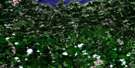
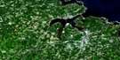
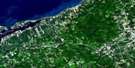
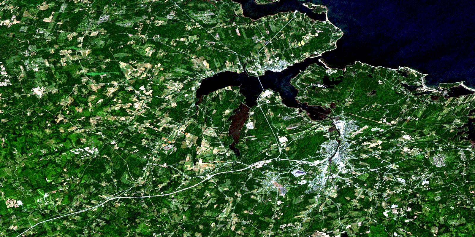
New Glasgow Satellite Imagery
To view this satellite map, mouse over the air photo on the right.
You can also download this satellite image map for free:
011E10 New Glasgow high-resolution satellite image map.
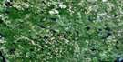
Maps for the New Glasgow aerial map sheet 011E10 at 1:50,000 scale are also available in these versions:
New Glasgow Surrounding Area Aerial Photo Maps
 |
 |
 |
 |
 |
 |
 |
 |
 |
 |
 |
 |
 |
 |
 |
 |
© Department of Natural Resources Canada. All rights reserved.
New Glasgow Gazetteer
The following places can be found on satellite image map 011E10 New Glasgow:
New Glasgow Satellite Image: Bays
Back HarbourBig Cove
Big Gut
Blackhall Gut
Boat Harbour
Caribou Harbour
Chance Harbour
Chapel Cove
Charltons Cove
Deacon Cove
Golfe du Saint-Laurent
Grattos Cove
Gulf of St. Lawrence
Haliburton Cove
Hansons Cove
Howletts Cove
Jessies Cove
Little Gut
Little Harbour
Merigomish Harbour
Moodie Cove
Pictou Harbour
Pictou Road
Pine Tree Gut
Pinetree Gut
Powell Cove
Powells Cove
Sandy Cove
Three Brooks
Town Gut
Websters Gully
New Glasgow Satellite Image: Beaches
Chance Harbour BeachJames Beach
Lighthouse Beach
Loudon Beach
Lowdens Beach
Melmerby Beach
Sinclairs Island Beach
New Glasgow Satellite Image: Capes
Abercrombie PointAlbion Point
Battery Point
Begg Point
Black Point
Brown Point
Browns Point
Campbell Point
Cantley Point
Christie Point
Cole Point
Colquhoun Point
Doctor Point
Doctor Spit
Dunbar Point
Evans Point
Fortyfour Point
Forty-Four Point
Grave Point
Greens Point
Howletts Point
Indian Cross Point
Kenneth Point
Lank Point
Little Caribou Spit
Loch Broom Point
Lochbroom Point
Logan Point
Logans Point
Mackenzie Head
Mackenzie Point
MacNeils Point
McKay Point
Monroe Point
Moodie Point
Munroe Point
Munroes Point
Mussel Point
Neill Point
Norway Point
Oak Tree Point
Patterson Point
Pictou Bar Spit
Pine Point
Powell Point
Powells Head
Powells Point
Roaring Bull Point
Seaview Point
Shipyard Point
Skinner Point
Spring Point
Stonehouse Point
The Loading Ground
Town Point
Widow Point
New Glasgow Satellite Image: Channels
Big Caribou EntranceDétroit de Northumberland
Inside Channel
Little Caribou Entrance
Main Channel
North Entrance
Northumberland Strait
The Sluice
New Glasgow Satellite Image: Falls
Parks FallsNew Glasgow Satellite Image: Geographical areas
PictouNew Glasgow Satellite Image: Indian Reserves
Boat Harbour West 37Fisher's Grant 24
Fisher's Grant 24G
Fishers Grant Indian Reserve 24
Fishers Grant Indian Reserve 24G
Réserve indienne Fishers Grant 24
Réserve indienne Fishers Grant 24G
New Glasgow Satellite Image: Islands
Ballast IslandBlueberry Island
Bowen Island
Burnt Island
Caribou Island
Doctor Island
Gavin Islet
Little Caribou Island
Loch Broom Islet
Lochbroom Islet
Mackenzie Island
Muless Island
Munroes Island
Quarry Island
Ram Island
Raspberry Island
Roy Island
Sinclairs Island
Spoon Island
The Intervale
New Glasgow Satellite Image: Lakes
Chance Harbour LakeEast Lake
Fergusons Pond
Forbes Lake
Grahams Pond
James Ponds
MacKays Pond
Otter Pond
West Lake
New Glasgow Satellite Image: Mountains
Anderson MountainBeech Hill
Campbell Hill
Cobequid Mountains
Dalhousie Mountain
Durham Hill
Fitzpatrick Mountain
Fitzpatricks Mountain
Fraser Mountain
Frasers Mountain
Green Hill
Hardwood Hill
Hungry Hill
Irish Mountain
McGregor Mountain
McLellan Mountain
McLellans Mountain
Mount Ephraim
Mount Thom
Rogers Hill
Rory Bans Hill
Scotch Hill
Tanner Hill
New Glasgow Satellite Image: Major municipal/district area - major agglomerations
PictouNew Glasgow Satellite Image: Conservation areas
Abercrombie Wildlife Management AreaCaribou Provincial Park
Caribou-Munroes Island Provincial Park
Greenhill Provincial Park
Melmerby Beach Provincial Park
Powells Point Provincial Park
Salt Springs Provincial Park
New Glasgow Satellite Image: Rivers
Anderson BrookBear Brook
Begg Brook
Benbie Brook
Big Caribou River
Black River
Bore Hole Brook
Brown Brook
Cameron Brook
Caribou River
Clish Brook
Diamond Brook
East Branch River John
East River
East River of Pictou
Eight Mile Brook
Eightmile Brook
Fall Brook
Four Mile Brook
Fourmile Brook
Fox Brook
Graham Brook
Haliburton Brook
Hugh Brook
Little Caribou River
Little River
Lowden Brook
Lyon Brook
Lyons Brook
MacKay Brook
Manse Brook
McCulloch Brook
McLean Brook
McLellan Brook
McLellans Brook
Middle River
Middle River of Pictou
Mill Brook
Mill Brook
Miller Brook
Pine Tree Brook
Pinetree Brook
Plainfield Brook
Potter Brook
Potters Brook
Quaker Brook
Quarry Brook
Rear Brook
Ross Brook
Sawmill Brook
School Brook
Shale Brook
Sheriff Brook
Six Mile Brook
Sixmile Brook
Skinner Brook
Small Brook
Smalls Brook
Smelt Brook
Steele Run
Steep Brook
Stewart Brook
Sutherland River
Sutherlands River
Sweet Brook
Toney River
Waters Brook
Watervale Brook
West Branch East River
West River
West River of Pictou
West Toney River
New Glasgow Satellite Image: Undersea features
Skinners ReefNew Glasgow Satellite Image: Shoals
Cole ReefDoctor Reef
Macdonald Reef
Mackenzie Shoal
Murdock Shoal
Pocahontas Rock
Roaring Bull
Roy Ledge
Seal Rock
Sheas Rock
Skinner Reef
Skinners Reef
Western Reef
New Glasgow Satellite Image: Towns
New GlasgowPictou
Stellarton
Trenton
Westville
New Glasgow Satellite Image: Unincorporated areas
AbercrombieAcademy
Alma
Anderson Mountain
Bay View
Bigney
Black Point
Black River
Blue Acres
Braeshore
Brookland
Brown Point
Browns Point
Caribou
Caribou Ferry
Caribou Island
Central Caribou
Central West River
Chance Harbour
Chattan Park
Churchville
Coalburn
Dalhousie Settlement
Diamond
Dufferin
Durham
Elmfield
Ferrona Junction
Fitzpatricks Mountain
Four Mile Brook
Fourmile Brook
Fox Brook
Frasers Mountain
Glenfalloch
Granton
Greenhill
Greens Point
Greenwood
Haliburton
Hardwood Hill
Hazel Glen
Heathbell
Hillside
Hodson
Kings Head
Kirkmount
Limerock
Linacy
Little Egypt Road
Little Harbour
Little Harbour Road
Loch Broom
Lochbroom
Logan Subdivision
Lourdes
Lovat
Lower Mount Thom
Lyons Brook
Lyons Brook
MacDonald's
Marshall
Marshalls Crossing
McLellan Brook
McLellan Mountain
McLellans Brook
McLellans Mountain
McPhersons Mills
Meadowville
Micmac
Millbrook
Millsville
Mount William
Mountville
Pictou Landing
Pine Tree
Pinetree
Plainfield
Pleasant Valley
Plymouth
Plymouth Park
Poplar Hill
Priestville
Riverton
Riverton Heights
Riverview
Rockfield
Rogers
Rogers Hill
Rogers Hill Cross Roads
Salt Springs
Satellite Slopes
Scotch Hill
Scotsburn
Six Mile Brook
Stillman
Sundridge
Sutherland
Sutherland River
Sutherlands River
Sylvester
Terrace Heights
The Meadows
Thorburn
Three Brooks
Union Centre
Upper Mount Thom
West River
Woodbourne
Woodburn
Woodburn Station
New Glasgow Satellite Image: Low vegetation
Big BogBig Meadow
MacLeods Meadow
Sutherland Bog
© Department of Natural Resources Canada. All rights reserved.
011E Related Maps:
011E Truro011E01 Liscomb
011E02 Upper Musquodoboit
011E03 Shubenacadie
011E04 Kennetcook
011E05 Bass River
011E06 Truro
011E07 Hopewell
011E08 Lochaber
011E09 Merigomish
011E10 New Glasgow
011E11 Tatamagouche
011E12 Oxford
011E13 Pugwash
011E14 Malagash
011E15 Pictou Island
011E16 Malignant Cove
