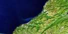
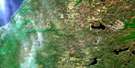
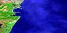
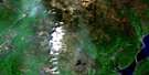
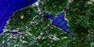
Ingonish Satellite Image Map
Download Free Aerial Photo 011K09 at 1:50,000 scale
Ingonish Satellite Imagery
To view this satellite map, mouse over the air photo on the right.
You can also download this satellite image map for free:
011K09 Ingonish high-resolution satellite image map.
Maps for the Ingonish aerial map sheet 011K09 at 1:50,000 scale are also available in these versions:
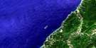
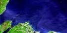
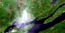
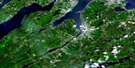
Ingonish Surrounding Area Aerial Photo Maps
 |
 |
||
 |
 |
 |
|
 |
 |
 |
|
 |
 |
 |
 |
© Department of Natural Resources Canada. All rights reserved.
Ingonish Gazetteer
The following places can be found on satellite image map 011K09 Ingonish:
Ingonish Satellite Image: Bays
Annie Collins CoveBear Cove
Black Cove
Broad Cove
Corsons Cove
Dunphys Creek
Hawleys Cove
Ingonish Harbour
Mink Cove
North Bay
North Bay Ingonish
Rocky Bay
Seine Cove
South Bay
South Bay Ingonish
Two Rock Cove
Williams Cove
Wreck Cove
Ingonish Satellite Image: Beaches
Broad Cove BeachDuncans Beach
Ingonish Beach
North Bay Ingonish Beach
Ross Beach
Whitty Shore
Ingonish Satellite Image: Capes
Archibald PointBlack Point
Burke Head
Cape Smokey
Cape Smoky
Cape Smoky
Dundas Head
Flat Point
Hawleys Point
Jackson Point
Kings Point
Ladies Head
MacLeods Point
Middle Head
Pigeon Point
Red Head
Red Head
Rocky Point
Shag Roost
Smoky Cape
Spring Point
Stanley Point
Table Head
The Point
Two Rock Point
Western Point
Wreck Cove Point
Wreck Point
Ingonish Satellite Image: Geographical areas
VictoriaIngonish Satellite Image: Islands
Cape Breton IslandÎle du Cap-Breton
Ingonish Island
Steering Island
Ingonish Satellite Image: Lakes
Best LakesBoot Lake
Boyd Lake
Branch Pond
Broad Cove Mountain Lake
Browns Lake
Camerons Lakes
Canns Lake
Cavanaugh Lake
Cradle Lake
Freshwater Lake
Halfway Lake
Hardwood Hill Lake
Hummock Lake
Lake of the Islands
Little Canns Lake
Long Lake
Long Pond
Lynx Lake
MacDougalls Lake
Mary Ann Lake
Neils Lake
Pedlar Lake
Roper Lake
Round Pond
Rudderham Lake
Ski Lodge Lake
South Lake
Spud Lake
Warren Lake
West Lake
Wreck Cove Flowage
Wreck Cove Lakes
Ingonish Satellite Image: Mountains
Broad Cove MountainFraney Mountain
Smokey Mountain
Smoky Mountain
Ingonish Satellite Image: Major municipal/district area - major agglomerations
VictoriaIngonish Satellite Image: Conservation areas
Cape Breton Highlands National Park of CanadaCape Smokey Provincial Park
Parc national du Canada des Hautes-Terres-du-Cap-Breton
Ingonish Satellite Image: Rivers
Big Sarahs BrookCameron Brook
Clyburn Brook
Dundas Brook
Ferrys Brook
Franey Brook
Ingonish River
MacInnis Brook
MacKeigans Brook
MacLeods Brook
Mary Ann Brook
McKinnon Brook
McLeod Brook
Mill Brook
Morrison Brook
Morrisons Brook
Pathend Brook
Power Brook
Red Head Brook
Rocky Brook
Roper Brook
Slate Brook
Smoky Brook
Soapstone Brook
Warren Brook
Wreck Cove Brook
Ingonish Satellite Image: Shoals
Black RockBroad Cove Shoals
Deepwater Rock
East Rocks
Eastern Rocks
Fisherman Rock
Inside Net Rock
Mackerel Rock
Outside Net Rock
Ragged Rocks
Shag Roost
The Sunker
Whale Rock
White Rock
Ingonish Satellite Image: Unincorporated areas
Birch PlainIngonish
Ingonish Beach
Ingonish Centre
Ingonish Ferry
Keltic Lodge
South Ingonish Harbour
Wreck Cove
Ingonish Satellite Image: Low vegetation
Neils Barren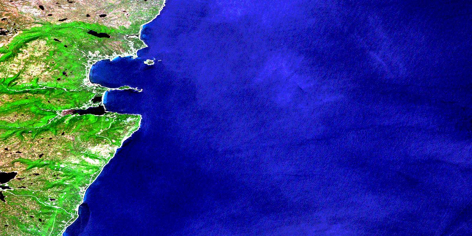
© Department of Natural Resources Canada. All rights reserved.
