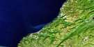
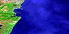
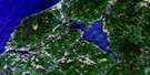
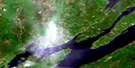
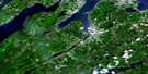
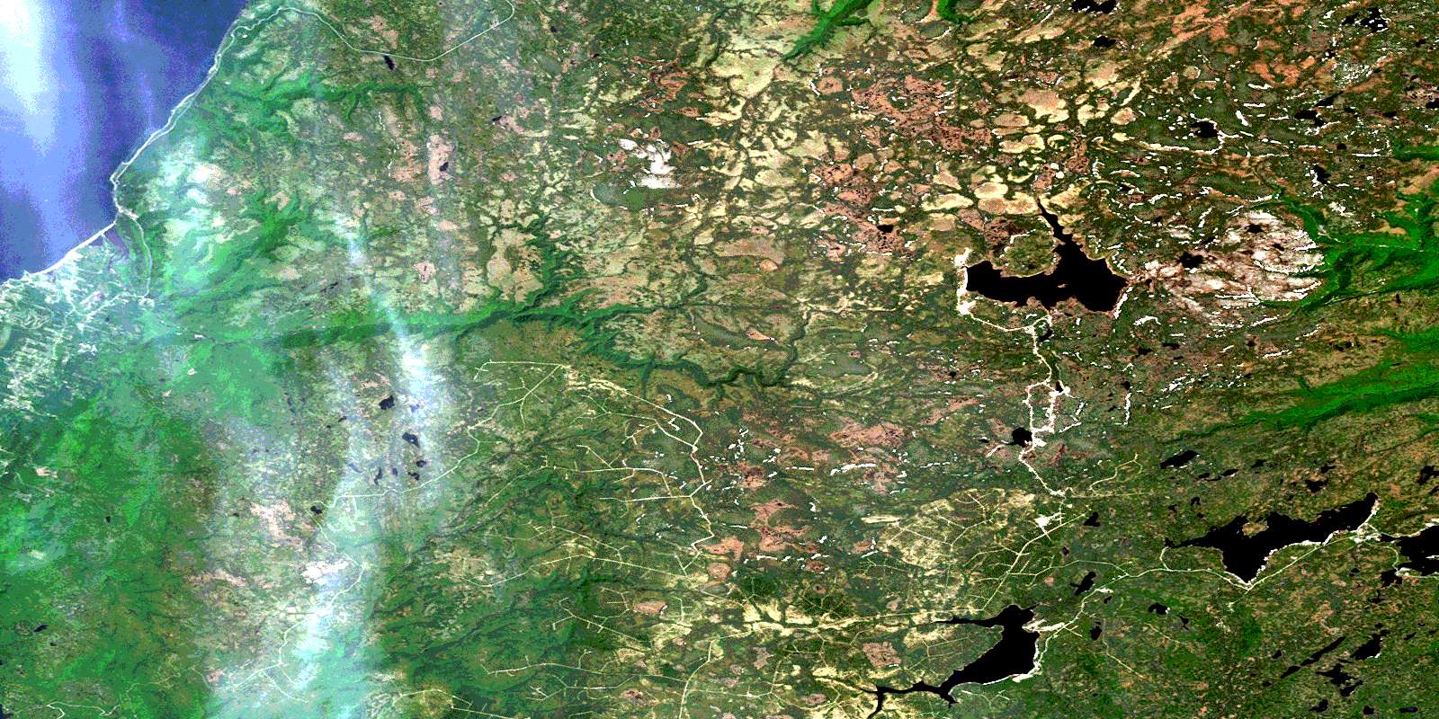
Cheticamp River Satellite Image Map
Download Free Aerial Photo 011K10 at 1:50,000 scale
Cheticamp River Satellite Imagery
To view this satellite map, mouse over the air photo on the right.
You can also download this satellite image map for free:
011K10 Cheticamp River high-resolution satellite image map.
Maps for the Cheticamp River aerial map sheet 011K10 at 1:50,000 scale are also available in these versions:
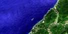
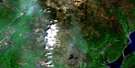
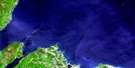
Cheticamp River Surrounding Area Aerial Photo Maps
 |
 |
||
 |
 |
 |
|
 |
 |
 |
|
 |
 |
 |
 |
© Department of Natural Resources Canada. All rights reserved.
Cheticamp River Gazetteer
The following places can be found on satellite image map 011K10 Cheticamp River:
Cheticamp River Satellite Image: Bays
Anse à Bois MeréGolfe du Saint-Laurent
Gulf of St. Lawrence
Cheticamp River Satellite Image: Beaches
Corney BeachCheticamp River Satellite Image: Capes
Cap RougePointe à la Petite Praire
Presqu'ile
Cheticamp River Satellite Image: Cliffs
Grande FalaiseCheticamp River Satellite Image: Geographical areas
InvernessJuste au Corps
Victoria
Cheticamp River Satellite Image: Islands
Cape Breton IslandÎle du Cap-Breton
Cheticamp River Satellite Image: Lakes
Artemise LakeBaldwin Lake
Beaver Lake
Benjies Lake
Caribou Lakes
Chéticamp Flowage
Chéticamp Lake
Clyburn Lake
Cranberry Lake
Dauphiney Lake
Duck Lake
Dundas Lakes
Étang à Johnny à Eusèbe
Fenton Lake
Fishing Cove Lake
Flint Lake
French Lake
French Lake
French River Lakes
Gisborne Flowage
Gisborne Lake
Gull Lake
Indian Lake
Jim Campbells Lake
Knob Lake
Lacs des Plées Ferrées
Lake of Islands
Lake of the Islands
LeBlanc Lake
Long Lake
Mathesons Lake
McMillan Flowage
Moose Lake
Pembroke Lake
Petit Étang
Rocky Pond
Roger Lake
Roper Lake
Shank Lake
Snowshoe Lake
Soapstone Lake
South Lake
Stoney Lake
Sunday Lake
Swamp Lake
Tipover Lake
Trout Lakes
Two Island Lake
West Lake
White Hill Lake
Wreck Cove Flowage
Wreck Cove Lakes
Cheticamp River Satellite Image: Mountains
French MountainIndian Rising
Jerome Mountain
Klondike Mountain
Montagne Noire
The Pinnacle
White Hill
Cheticamp River Satellite Image: Major municipal/district area - major agglomerations
InvernessVictoria
Cheticamp River Satellite Image: Conservation areas
Cape Breton Highlands National Park of CanadaParc national du Canada des Hautes-Terres-du-Cap-Breton
Cheticamp River Satellite Image: Rivers
Alder BrookAnthony Aucoins Brook
Artemise Brook
Au Coin Brook
Aucoin Brook
Benjies Lake Brook
Big Southwest Brook
Black Brook
Calumruadh Brook
Campbell Brook
Canadian Brook
Chéticamp River
Clyburn Brook
Coinneach Brook
Corney Brook
Curtis Brook
Daphiné Brook
Dauphiney Brook
Dundas Brook
East Branch Indian Brook
Factory Brook
Faribault Brook
Farm Brook
Fern Brook
Fiset Brook
Fishing Cove River
Fisset Brook
Forest Glen Brook
French River
Indian Brook
Ingonish River
Jerome Brook
Jim Campbells Brook
Jumping Brook
LeBlanc Brook
MacInnis Brook
MacKeigans Brook
Mackenzie River
MacKenzies River
MacLeods Brook
McKinnon Brook
McLeod Brook
McMillan Brook
McMillans Brook
Mill Brook
North Aspy River
North Branch Northeast Margaree River
Northeast Margaree River
Power Brook
Rigwash Brook
Robert Brook
Rocky Brook
Rocky Brook
Roper Brook
Ruisseau des Habitations Neuves
Ruisseau des Plées Ferrées
Second Fork Brook
Snipe Brook
Soapstone Brook
South Branch Corney Brook
South Calumruadh Brook
South Clyburn Brook
South Fishing Cove River
Trout Brook
Turner Brook
Warren Brook
West Branch Indian Brook
West Indian Brook
West Indian River
Wildcat Brook
Wreck Cove Brook
Cheticamp River Satellite Image: River features
Blue PoolChannel Pool
MacKays Pool
Number One Pool
Number Three Pool
Number Two Pool
Reids Pool
Rocky Pool
Three Brooks Pool
Two Brooks Pool
Cheticamp River Satellite Image: Shoals
Jerome LedgePillar Rock
Cheticamp River Satellite Image: Unincorporated areas
Belle MarcheBelle-Marche
La Prairie
Petit Etang
Petit Étang
Petit-Etang
Petit-Étang
Cheticamp River Satellite Image: Valleys
Rigwash à BernardRigwash à Besure
Cheticamp River Satellite Image: Low vegetation
Bakeapple BarrenBig Barren
Caribou Barren
Chéticamp Flats
Cranberry Barren
Everlasting Barrens
Ingonish Barrens
Island Barren
Jim Campbells Barren
North Barren
Rocky Barren
The Big Marsh
Western Barren
© Department of Natural Resources Canada. All rights reserved.
