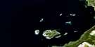
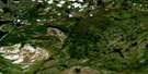
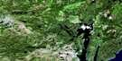
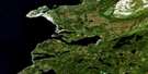
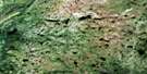
Roddickton Satellite Image Map
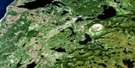
Download Free Aerial Photo 012I16 at 1:50,000 scale
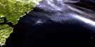
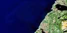
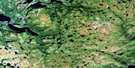
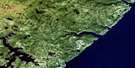
Roddickton Satellite Imagery
To view this satellite map, mouse over the air photo on the right.
You can also download this satellite image map for free:
012I16 Roddickton high-resolution satellite image map.
Maps for the Roddickton aerial map sheet 012I16 at 1:50,000 scale are also available in these versions:
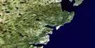
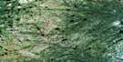
Roddickton Surrounding Area Aerial Photo Maps
 |
 |
 |
|
 |
 |
 |
|
 |
 |
 |
|
 |
 |
 |
 |
© Department of Natural Resources Canada. All rights reserved.
Roddickton Gazetteer
The following places can be found on satellite image map 012I16 Roddickton:
Roddickton Satellite Image: Bays
Beaver ArmBeaver Cove
Bide Arm
Canada Bay
Castor Cove
Chimney Bay
Chimney Cove
Dowers Harbour
Hilliers Harbour
Landing Cove
Long Arm
Muddy Hole
Northeast Arm
Northwest Arm
Otter Cove
Trap Cove
Weymouth Cove
Roddickton Satellite Image: Capes
Adams PointAdamson Point
Birchy Neck
Boutitou Point
Brown Rock Point
Cabin Point
Chaine Point
Dieppe Point
Dolo Point
Fly Point
Good Point
Grosse Point
Marten Point
Milan Point
Miot Point
Northern Peninsula
Old House Point
Scott Point
Trap Cove Point
Weymouth Point
Wooded Point
Roddickton Satellite Image: Islands
Daveys IslandDrummond Island
Fane Island
Green Island
Rock Island
Roddickton Satellite Image: Lakes
Barnes PondBear Cave Ponds
Beaver Brook Pond
Beaver Pond
Beaver Pond
Bide Arm Big Pond
Big Burnt Brook Pond
Big Pond
Big Pond
Big Seal Cove Pond
Big Treytown Pond
Bills Pond
Boony Lake
Breaching Pond
Bridge Pond
Brophys Pond
Bucket Pond
Burnt Head Pond
Cannings Pond
Charlie Busheys Ponds
Clements Pond
Coles Pond
Constance Pond
Cutaway Pond
Dawes Pond
Deckers Pond
Deer Pond
Deer Ponds
Dry Pond
Duck Pond
Duck Ponds
East Pond
Elijaks Steady
Esaus Pond
First Clay Cove Pond
First Grassy Cove Pond
Flat Pond
Flat Waters
Francis Pond
Franks Pond
Fresh Pond
Frying Pans Pond
Genges Pond
Georges Pond
Gillards Pond
Gladsbury Pond
Godfreys Pond
Grassy Steady
Gull Pond
Hams Pond
Hancocks Pond
Hatters Pond
Herb Cannings Pond
High Mesh Ponds
Hynes Pond
Island Cove Pond
Island Steady
Jakes Farm Pond
Jaspers Pond
Joe Gillards Pond
John Lanes Pond
Lanes Pond
Leech Pond
Long Pond
Long Pond
Long Steady
Marble Pond
Montgomery Pond
Muddy Hole Pond
Muskrat Pond
Narrows Pond
Narrows Pond
Newmans Pond
Ocean Pond
Otter Cove Pond
Penny's Pond
Pinnacle Pond
Pot Hill Pond
Rattling Brook Pond
Rays Pond
Rocky Pond
Rocky Pond
Rocky Pond
Round Steady
Roy Cassells Pond
Rush Brook Pond
Rushy Pond
Salt Water Pond
Saltwater Pond
Second Clay Cove Pond
Second Grassy Cove Pond
Shoal Brook Pond
Shoal Cove Pond
Shoal Pond
Shoal Pond
Side Pond
Simons Pond
Small Seal Cove Pond
The Tangle
Third Clay Cove Pond
Third Grassy Cove Pond
Three Mile Steady
Tilt Pond
Timber Pond
Twin Lakes
Walters Pond
Weymouth Pond
Wigwam Pond
Wild Bight Pond
Roddickton Satellite Image: Mountains
Black NuddickCloud Hills
Horse Chops
John Reeves Backbone
Nyntens Ridge
Pot Hill
Puncheon Hill
Stans Hill
The Big Gun
The Pinnacle
The Saddle
Wizard Ridge
Roddickton Satellite Image: Rivers
Beaver BrookCloud River
East Brook
Marble Brook
Northeast Brook
Northwest Brook
Pennys Brook
Rushy Brook
Shoal Brook
Roddickton Satellite Image: River features
Under Ground HoleRoddickton Satellite Image: Shoals
Bad RockBide Shoal
Boutitou Shoal
Dog Shoal
Marten Rock
Tenedos Rock
Zephyr Rock
Roddickton Satellite Image: Towns
Bide ArmEnglee
Roddickton
Roddickton-Bide Arm
Roddickton Satellite Image: Unincorporated areas
RobertRoddickton Satellite Image: Low vegetation
High Mesh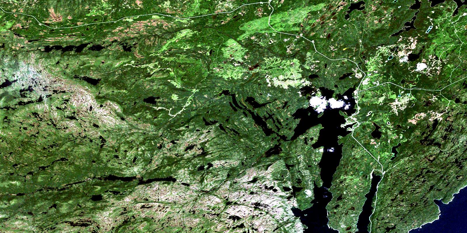
© Department of Natural Resources Canada. All rights reserved.
