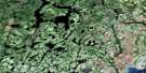
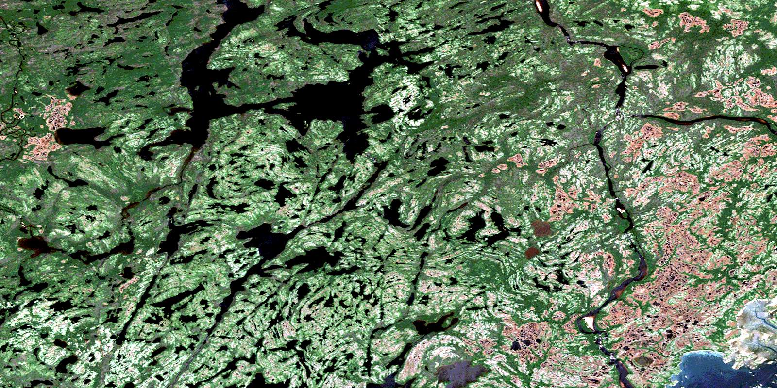
Lac Triquet Satellite Image Map
Download Free Aerial Photo 012J12 at 1:50,000 scale
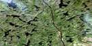
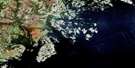
Lac Triquet Satellite Imagery
To view this satellite map, mouse over the air photo on the right.
You can also download this satellite image map for free:
012J12 Lac Triquet high-resolution satellite image map.
Maps for the Lac Triquet aerial map sheet 012J12 at 1:50,000 scale are also available in these versions:
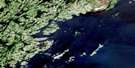
Lac Triquet Surrounding Area Aerial Photo Maps
 |
 |
 |
|
 |
 |
 |
|
 |
|||
© Department of Natural Resources Canada. All rights reserved.
Lac Triquet Gazetteer
The following places can be found on satellite image map 012J12 Lac Triquet:
Lac Triquet Satellite Image: Bays
Golfe du Saint-LaurentLac Triquet Satellite Image: Capes
Pointe KaniauakahtPointe Niapuskau
Lac Triquet Satellite Image: Geographical areas
BauneBellecourt
Saint-Vincent
Lac Triquet Satellite Image: Islands
Île du DimancheÎle du Sauvage
Îles Harrington
Lac Triquet Satellite Image: Lakes
Lac BlancLac Kahakauhumakaht
Lac Kaiakuakamat
Lac La Fontaine
Lac Namehat Kakutepapinaniht
Lac Riverin
Lac Triquet
Lac Uapuh Kiauhin
Lac Uhatshistsh
LacKanekauakamat
Lacs Uhatshimihukup
Lac Triquet Satellite Image: Rivers
Rivière DarbyRivière du Petit Mécatina
Rivière Étamamiou
Rivière Nétagamiou
© Department of Natural Resources Canada. All rights reserved.
