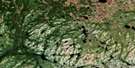
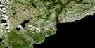
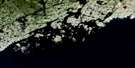
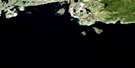
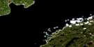
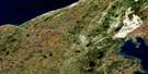
Salmon River Satellite Image Map
Download Free Aerial Photo 012P01 at 1:50,000 scale
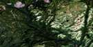
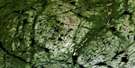
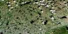
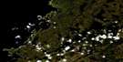
Salmon River Satellite Imagery
To view this satellite map, mouse over the air photo on the right.
You can also download this satellite image map for free:
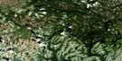
012P01 Salmon River high-resolution satellite image map.
Maps for the Salmon River aerial map sheet 012P01 at 1:50,000 scale are also available in these versions:
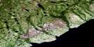
Salmon River Surrounding Area Aerial Photo Maps
 |
 |
 |
 |
 |
 |
 |
 |
 |
 |
 |
 |
 |
 |
© Department of Natural Resources Canada. All rights reserved.
Salmon River Gazetteer
The following places can be found on satellite image map 012P01 Salmon River:
Salmon River Satellite Image: Bays
Ariege (Belvy) BayGoose Tickle Arm
Hare Bay
Prince Edward Bay
Salmon Bay
West Brook Arm (Windy Bay)
Salmon River Satellite Image: Capes
Goose Tickle PointJack Patey's Point
Northern Peninsula
South Point
Salmon River Satellite Image: Islands
Devarenne (Bushy) IslandLong Island
Marechal Island
Salmon River Satellite Image: Lakes
Angle PondArthurs Steady
Basin Pond
Chaytors Pond
Coles Pond
Dry Pond
Eastern Pond
Fennimore Pond
First Salmon Pond
Giles Pond
Home Pond
Island Steady
Jacks Pond
Joe Farrels Pond
Joe Gillards Pond
Kettle Pond
Leech Pond
Line Pond
Little Pond
Long Pond
Mitchells Pond
Moores Pond
Muskrat Pond
Otter Pond
Phils Pond
Quidnock Pond
Rabbit Pond
Round Pond
Rubes Steady
Salmon Pond
Scammels Pond
Second Salmon Pond
Second Southwest Pond
Shoal Pond
Sixteenth Pond
Tom Roses Pond
Tom Roses Pond
Twelfth Pond
Twin Ponds
Salmon River Satellite Image: Mountains
White Hump HillSalmon River Satellite Image: Rivers
Salmon RiverSouthwest Brook
West Brook
Salmon River Satellite Image: Towns
Main Brook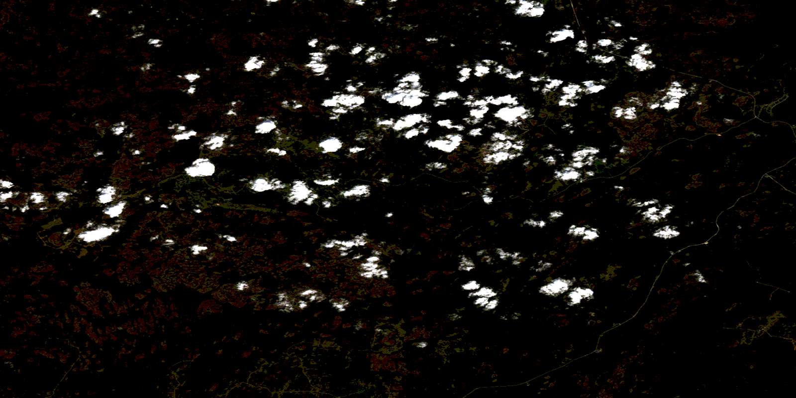
© Department of Natural Resources Canada. All rights reserved.
