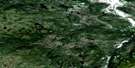
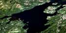
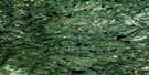
Trunmore Bay Satellite Image Map
Download Free Aerial Photo 013H14 at 1:50,000 scale
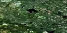
Trunmore Bay Satellite Imagery
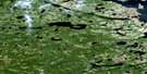
To view this satellite map, mouse over the air photo on the right.
You can also download this satellite image map for free:
013H14 Trunmore Bay high-resolution satellite image map.
Maps for the Trunmore Bay aerial map sheet 013H14 at 1:50,000 scale are also available in these versions:
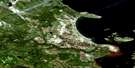
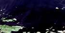
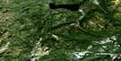
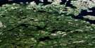
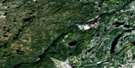
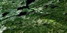
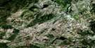
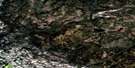
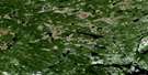
Trunmore Bay Surrounding Area Aerial Photo Maps
 |
 |
 |
 |
 |
 |
 |
 |
 |
 |
 |
 |
 |
 |
 |
 |
© Department of Natural Resources Canada. All rights reserved.
Trunmore Bay Gazetteer
The following places can be found on satellite image map 013H14 Trunmore Bay:
Trunmore Bay Satellite Image: Bays
Big Indian HarbourBlack Duck Cove
Duck Cove
Godfreys Cove
Graplin Gulch
Horse Chops Cove
Indian Harbour
Lance Cove
Little Graplin Gulch
Little Indian Harbour
Main Tickle Bight
Old Mans Cove
Paddys Cove
Partridge Harbour
Partridge Harbour
Smokers Cove
Steps Cove
Table Hill Cove
Trunmore Bay
Woody Cove
Trunmore Bay Satellite Image: Beaches
Huntingdon FlatsNorth River Flats
North Strand
Porcupine Strand
Trunmore Bay Satellite Image: Capes
Black PointCape Porcupine
Caribou Head
Duck Head
Duck Point
Godfreys Head
Horse Chops
Horse Chops Point
Indian Head Point
Jackies Point
Lance Cove Point
Little Indian Harbour Point
Matchims Point
North River Point
Northwest Point
Old Mans Head
Old Mans Point
Paddys Cove Point
Paradise Point
Rocky Point
Sandy Point
Shoal Point
Smokers Head
Tania Point
Trunmore Bay Satellite Image: Islands
Cape IslandDuck Cove Island
Entrance Island
Entry Island
Godfreys Island
Goodenough Island
Green Island
Green Island
Gull Island
Handy Harbour Islands
Horse Chops Island
Huntingdon Island
Irish Island
Irish Island
Leading Mark Island
Long Island
Morris Island
Munden Island
Norman Island
Normans Island
Old Mans Island
Outer Island
Partridge Harbour Islands
Partridge Island
Pig Island
Pigeon Island
Suttons Island
Thunder and Lightning Island
Woody Island
Trunmore Bay Satellite Image: Lakes
Gull Island PondSouth Feeder Pond
Trunmore Bay Satellite Image: Mountains
Round HillTable Hill
Trunmore Bay Satellite Image: Rapids
Saltwater RapidsTrunmore Bay Satellite Image: Rivers
Barron RiverBeaver Brook
Big Brook
Fancys Brook
Herder River
Little Brook
North River
Southfeeder Brook
Western Brook
Whale Brook
Woolfreys Brook
Trunmore Bay Satellite Image: Shoals
Dicks RockFarmer Ledge
Island Rocks
Morris Island Rock
Quebecer Shoal
Schmitt Shoal
Smokers Rock
Trunmore Bay Satellite Image: Unincorporated areas
North River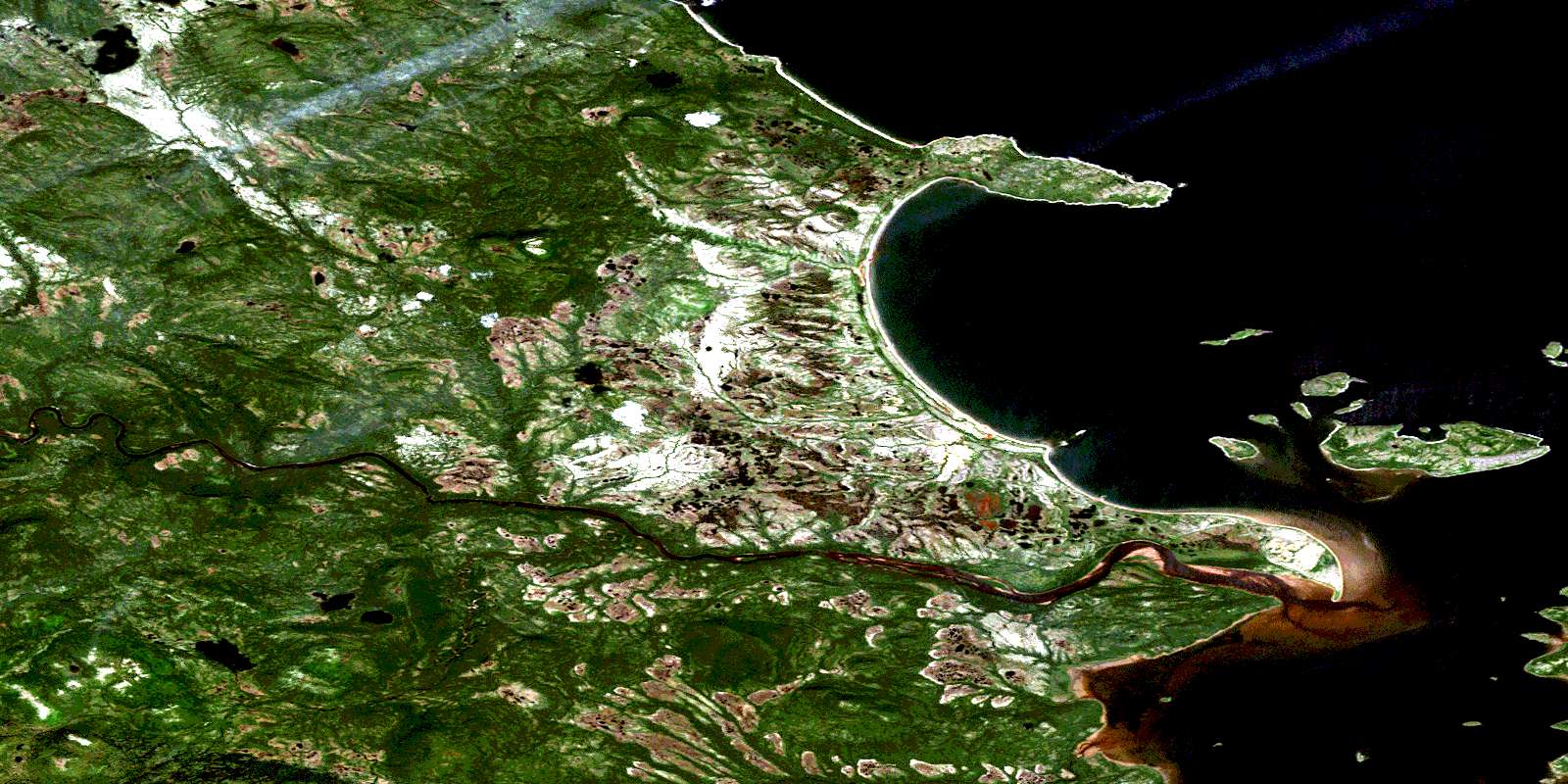
© Department of Natural Resources Canada. All rights reserved.
013H Related Maps:
013H Cartwright013H01 No Title
013H02 No Title
013H03 No Title
013H04 No Title
013H05 No Title
013H06 Paradise River
013H07 No Title
013H08 Porcupine Bay
013H09E Sand Hill Cove
013H09W Sand Hill Cove
013H10 Hare Harbour
013H11 Cartwright
013H12 Barron Lake
013H13E North River
013H13W North River
013H14E Trunmore Bay
013H14W Trunmore Bay
013H15E Packs Harbour
013H15W Packs Harbour
013H16W Grady Harbour
