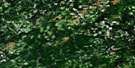
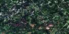
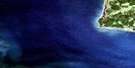
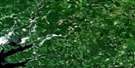
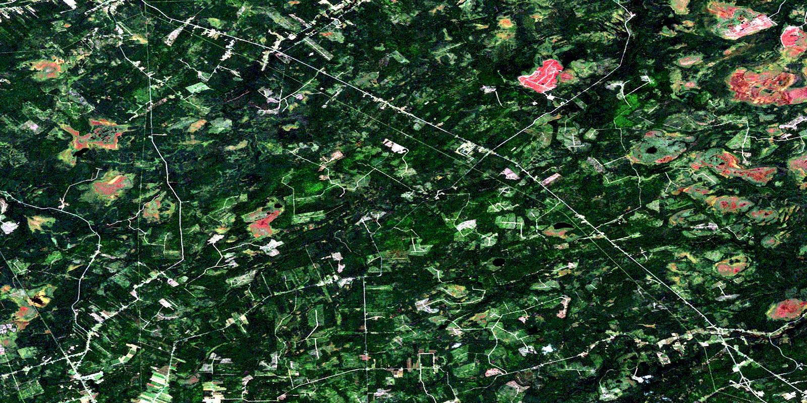
Kouchibouguac Satellite Image Map
Download Free Aerial Photo 021I14 at 1:50,000 scale
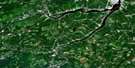
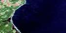
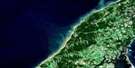
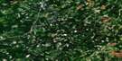
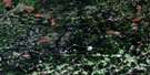
Kouchibouguac Satellite Imagery
To view this satellite map, mouse over the air photo on the right.
You can also download this satellite image map for free:
021I14 Kouchibouguac high-resolution satellite image map.
Maps for the Kouchibouguac aerial map sheet 021I14 at 1:50,000 scale are also available in these versions:
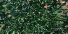
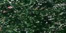
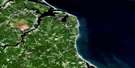
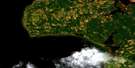
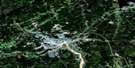
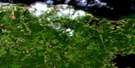
Kouchibouguac Surrounding Area Aerial Photo Maps
 |
 |
 |
 |
 |
 |
 |
 |
 |
 |
 |
 |
 |
 |
 |
 |
© Department of Natural Resources Canada. All rights reserved.
Kouchibouguac Gazetteer
The following places can be found on satellite image map 021I14 Kouchibouguac:
Kouchibouguac Satellite Image: City
MiramichiKouchibouguac Satellite Image: Geographical areas
AcadievilleCarleton
Chatham
Glenelg
Hardwicke
Kent
Nelson
Northumberland
Rogersville
Saint-Louis
Kouchibouguac Satellite Image: Lakes
Blackrock LakeGoose Lake
Hells Gate Lake
Laketon Lake
Macs Lake
North Branch Lake
Rosaireville Lake
Round Lake
Sands Lake
Sullivans Lake
Trappist Fathers Pond
Kouchibouguac Satellite Image: Mountains
The HorsebackKouchibouguac Satellite Image: Conservation areas
Kouchibouguac National Park of CanadaParc national du Canada Kouchibouguac
Saint Margarets Provincial Park
Kouchibouguac Satellite Image: Rivers
Appleby BrookBaldwins Brook
Barnaby River
Bay du Vin River
Big Brook
Big Hovel Brook
Black River
Black River
Carding Mill Brook
Carrigan Brook
East Branch Bay du Vin River
East Branch Eel River
East Branch Hortons Creek
Eel River
Ettrick Brook
Gallows Brook
Goodfellow Brook
Island Creek
Kouchibouguac River
Kouchibouguacis River
Lake Brook
Little Black River
Mackays Brook
McBeath Brook
McDonald Brook
McInnes Brook
McInnes Brook
Middle Barnaby River
Middle Branch Barnaby River
Napan River
North Branch McInnes Brook
North Branch Tweedie Brook
North Fork Black River
North McInnes Brook
North Tweedie Brook
Northwest Branch Napan River
Northwest Napan River
Peabody Brook
Pollys Creek
Portage River
Rankin Brook
Red Brook
Right Hand Branch Barnaby River
Rivière au Portage
Rivière du Vin
Rivière Fontaine
Ruisseau à Baptiste
Ruisseau des Babineau
South Branch McInnes Brook
South Branch Tweedie Brook
Tweedie Brook
Tweedie Brook
Two Mile Brook
Twomile Brook
Vandy Brook
Wells Brook
West Branch Eel River
West Branch Hortons Creek
Wiseman Brook
Kouchibouguac Satellite Image: Unincorporated areas
BarrieauBay du Vin Mills
Black River
Block 14
Collette
Douglasfield
East Collette
East Rogersville
Fitzpatrick
Glenwood
Kouchibouguac
Lakeland
Laketon
Murray Settlement
North Rogersville
Redmondville
Richard Village
Richard-Village
Rosaireville
Shediac Ridge
St. Augustine
St. Margarets
St. Théodule
St-Augustine
Ste-Augustine
Tweedie Brook
Upper Baie du Vin
Upper Napan
Vautour
Village St. Jean
Village St. Pierre
Village-Saint-Jean
Village-Saint-Pierre
Village-St-Jean
Village-St-Pierre
Weldfield
West Collette
West Rosaireville
Wine River
Young Ridge
Kouchibouguac Satellite Image: Low vegetation
Blue Ridge PlainCarrigan Plain
Grand macôque Rond
Grand mocauque Rond
Hells Gate Plain
Round Plain
© Department of Natural Resources Canada. All rights reserved.
021I Related Maps:
021I Moncton021I01 Port Elgin
021I02 Moncton
021I03 Salisbury
021I04 Chipman
021I05 Salmon River Road
021I06 Harcourt
021I07 Buctouche
021I08 Cape Egmont
021I09 O'Leary
021I10 Richibucto
021I11 Rogersville
021I12 Blackville
021I13 Newcastle
021I14 Kouchibouguac
021I15 Pointe-Sapin
021I16 Tignish
