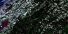
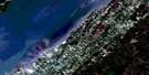
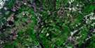
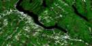
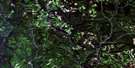
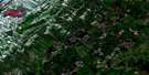
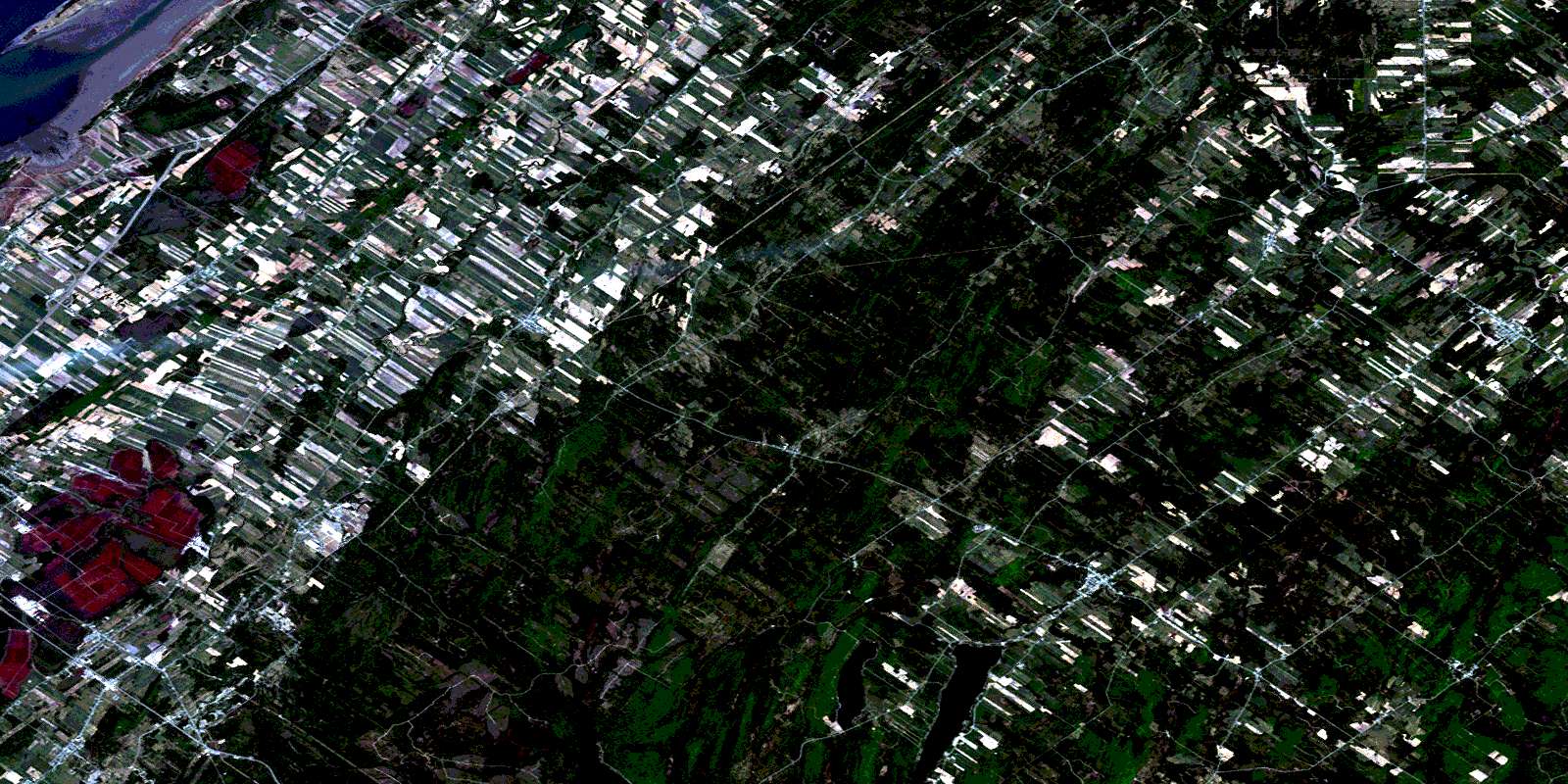
Saint-Modeste Satellite Image Map
Download Free Aerial Photo 021N14 at 1:50,000 scale
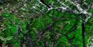
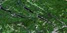
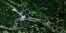
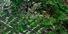
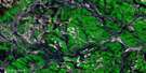
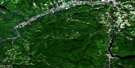
Saint-Modeste Satellite Imagery
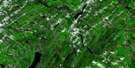
To view this satellite map, mouse over the air photo on the right.
You can also download this satellite image map for free:
021N14 Saint-Modeste high-resolution satellite image map.
Maps for the Saint-Modeste aerial map sheet 021N14 at 1:50,000 scale are also available in these versions:
Saint-Modeste Surrounding Area Aerial Photo Maps
 |
 |
 |
 |
 |
 |
 |
 |
 |
 |
 |
 |
 |
 |
 |
© Department of Natural Resources Canada. All rights reserved.
Saint-Modeste Gazetteer
The following places can be found on satellite image map 021N14 Saint-Modeste:
Saint-Modeste Satellite Image: Bays
Anse des TonnesSaint-Modeste Satellite Image: Capes
Le Bout d'en HautLe Gros Cacouna
Pointe à Moreault
Pointe chez Dominique
Pointe du Bout d'en Haut
Saint-Modeste Satellite Image: Forests
Pépinière de Saint-ModesteSaint-Modeste Satellite Image: Geographical areas
ArmandBégon
Demers
Denonville
Hocquart
Raudot
Rivière-du-Loup
Saint-Antonin
Saint-Arsène
Saint-Clément
Saint-Cyprien
Saint-Épiphane
Saint-François-Xavier-de-Viger
Saint-Hubert
Saint-Modeste
Saint-Paul-de-la-Croix
Saint-Pierre-de-Lamy
Seigneurie Leparc
Viger
Whitworth
Saint-Modeste Satellite Image: Hydraulic construction
Écluse à ThériaultSaint-Modeste Satellite Image: Islands
Île VerteÎlet des Corydalis
Rocher Sénéchal
Saint-Modeste Satellite Image: Lakes
Étang à MarcelLa Grande Mare
Lac A
Lac à Cola
Lac à Grandmaison
Lac à Josaphat
Lac à Jos-Caron
Lac à la Fourche
Lac à l'Orignal
Lac à Paquette
Lac à Paul
Lac à Pratte
Lac à René-Roy
Lac à Têtu
Lac à Wilfrid-Plourde
Lac Bertrand
Lac Bérubé
Lac Blondeau
Lac chez Cyrice
Lac chez Josaphat
Lac chez Ti-Mile
Lac de la Grande Fourche
Lac de Vase
Lac des Dix
Lac des Jutras
Lac des Mares
Lac des Roches
Lac Deschesnes
Lac du Caribou
Lac du Cinq
Lac du Nord
Lac du Père-Luc
Lac du Quatre
Lac Fin
Lac Hickson
Lac Parent
Lac Pelletier
Lac Perdu
Lac Perdu
Lac Plat
Lac Pluvieux
Lac Pointu
Lac Pouliac
Lac Rond
Lac Rond
Lac Rond
Lac Rond
Lac Saint-François
Lac Saint-Hubert
Lac Simon
Lac Sload
Lac Soucy
Lac Viger
Saint-Modeste Satellite Image: Marine navigation features
Quai d'en HautSaint-Modeste Satellite Image: Mountains
Le CapMontagne à Morneau
Montagne de la Tour
Montagne Ronde
Monts Notre-Dame
Saint-Modeste Satellite Image: Major municipal/district area - major agglomerations
Rivière-du-LoupSaint-Modeste Satellite Image: Other municipal/district area - miscellaneous
Circonscription électorale de Rivière-du-LoupDistrict électoral de Lanouette
District électoral de l'Est
District électoral de l'Ouest
District électoral du Centre
District électoral du Nord
District électoral du Sud
Saint-Modeste Satellite Image: Rivers
Branche BérubéBranche Côté
Branche Dion
Branche Edmour-Picard
Branche Fortin
Branche Gagnon
Branche Guérette
Branche Lavoie
Branche Leblond
Branche Mailloux
Branche Malenfant
Branche Martin
Branche Nord-Est
Branche Ouellet
Branche Ouellet
Branche Pelletier
Branche Sud
Canal Nadeau
Charge du Lac Simon
Cours d'eau André-Beaulieu
Cours d'eau April
Cours d'eau au Sud du Village
Cours d'eau Bastille
Cours d'eau Beaulieu
Cours d'eau Beaulieu
Cours d'eau Bélanger
Cours d'eau Bossé
Cours d'eau Bourgoin
Cours d'eau Brûlé
Cours d'eau Caron
Cours d'eau de la Cavée
Cours d'eau de la Plaine
Cours d'eau de Lafrenière Est
Cours d'eau deLafrenière Ouest
Cours d'eau des Castors
Cours d'eau des Terres Noires
Cours d'eau du Deuxième Rang
Cours d'eau du Lac à Cola
Cours d'eau du Moulin
Cours d'eau du Sixième Rang
Cours d'eau Dubé
Cours d'eau Dubé
Cours d'eau Dumont
Cours d'eau Edmond-Rioux
Cours d'eau Gagné
Cours d'eau Gagnon
Cours d'eau Gagnon
Cours d'eau Gamache
Cours d'eau Gendron
Cours d'eau Georges-Jalbert
Cours d'eau Grandmaison
Cours d'eau Hector-Belzile
Cours d'eau J.-C.-Bélanger
Cours d'eau Joseph-Dubé
Cours d'eau Lafrange
Cours d'eau Larocque
Cours d'eau Lavoie
Cours d'eau Lebel
Cours d'eau Lebel
Cours d'eau Leblond
Cours d'eau Léopold-Lévesque
Cours d'eau Lévesque
Cours d'eau Lionel-Côté
Cours d'eau Luc-Roy
Cours d'eau Mailloux
Cours d'eau Malenfant
Cours d'eau Marnière
Cours d'eau Martial-Michaud
Cours d'eau Moreault
Cours d'eau Morin
Cours d'eau Morin-Bérubé
Cours d'eau Paré
Cours d'eau Paul-Martin
Cours d'eau Pelletier
Cours d'eau Perreault
Cours d'eau Réal-Filion
Cours d'eau René-Dubé
Cours d'eau Rioux
Cours d'eau Robert
Cours d'eau Rouleau
Cours d'eau Roy
Cours d'eau Santerre
Cours d'eau Tremblay
Cours d'eau Veilleux
Cours d'eau Yvon-Pelletier
Décharge du Lac Simon
Fleuve Saint-Laurent
La Petite Rivière
La Petite Rivière
Le Beau Ruisseau
Le Grand Ruisseau
Petite rivière du Loup
Rivière à la Fourche
Rivière Cacouna
Rivière de la Barrure
Rivière de la Famine
Rivière de la Gamelle
Rivière des Roches
Rivière des Trois Pistoles
Rivière des Vases
Rivière du Loup
Rivière Lachaine
Rivière Mariakèche
Rivière Petite Fourche
Rivière Plainasse
Rivière Plate
Rivière Saint-Hubert
Rivière Sénescoupé
Rivière Têtu
Rivière Toupiké
Rivière Verte
Ruisseau à la Poudre
Ruisseau Blanc
Ruisseau Chaud
Ruisseau Clair
Ruisseau Dancause
Ruisseau de la Montagne
Ruisseau de la Pépinière
Ruisseau de la Savane
Ruisseau de l'Est
Ruisseau des Prairies
Ruisseau des Versants
Ruisseau Doré
Ruisseau du Petit Lac
Ruisseau du Petit Village
Ruisseau Dubé
Ruisseau Dumont
Ruisseau Ferré
Ruisseau Léopold-Caron
Ruisseau Narcisse-Dubé
Ruisseau Noir
Saint-Modeste Satellite Image: Road features
Côte de la MariakèchePont Beaulieu
Pont de la Rivière-Plate
Pont de la Rivière-Verte
Pont des Lebel
Pont des Malécites
Pont des Micmacs
Pont du Bras
Pont du Seigneur
Pont Landry
Pont Rouge
Sentier du Grand-Portage
Saint-Modeste Satellite Image: Towns
Saint-Georges-de-CacounaSaint-Modeste Satellite Image: Unincorporated areas
Bois-des-BelCacouna-Est
Cacouna-Station
Cacouna-Sud
Grandbois
Hocquart
La Commune
Lamy
Lamy-Sud
Le Moulin-du-Seigneur
Le Reste-de-Cacouna
Montagne-Ronde
Rivière-Verte
Saint-Antonin
Saint-Arsène
Saint-Clément
Saint-Cyprien
Saint-Épiphane
Saint-François-Xavier-de-Viger
Saint-Hubert-de-Rivière-du-Loup
Saint-Hubert-de-Témiscouata
Saint-Modeste
Saint-Modeste-Station
Saint-Paul-de-la-Croix
Saint-Pierre-de-Lamy
Saint-Pierre-de-Témiscouata
Saint-Modeste Satellite Image: Valleys
Les Crans SerrésSaint-Modeste Satellite Image: Low vegetation
La PlaineLes Savanes
Saint-Modeste Satellite Image: Villages
Notre-Dame-des-Sept-DouleursSaint-Antonin
Saint-Arsène
Saint-Clément
Saint-Cyprien
Saint-Éloi
Saint-Épiphane
Saint-Épiphane
Saint-François-Xavier-de-Viger
Saint-Georges-de-Cacouna
Saint-Hubert
Saint-Hubert-de-Rivière-du-Loup
Saint-Jean-de-Dieu
Saint-Modeste
Saint-Paul-de-la-Croix
Saint-Pierre-de-Lamy
© Department of Natural Resources Canada. All rights reserved.
021N Related Maps:
021N Edmundston021N02E Connors
021N02W Connors
021N03E Little Black River
021N03W Little Black River
021N04 Ste-Perpetue-De-Islet
021N05 Saint-Pacome
021N06 Estcourt
021N07 Lac-Baker
021N08 Edmundston
021N09 Grandmaison
021N10 Cabano
021N11 Saint-Honore
021N12 Saint-Pascal
021N13 Riviere-Du-Loup
021N14 Saint-Modeste
021N15 Squatec
021N16 Wild Goose Lake
