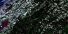
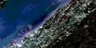
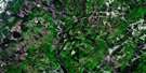
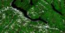
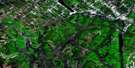
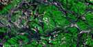
Wild Goose Lake Satellite Image Map
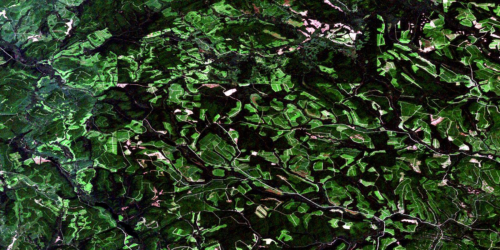
Download Free Aerial Photo 021N16 at 1:50,000 scale
Wild Goose Lake Satellite Imagery
To view this satellite map, mouse over the air photo on the right.
You can also download this satellite image map for free:
021N16 Wild Goose Lake high-resolution satellite image map.
Maps for the Wild Goose Lake aerial map sheet 021N16 at 1:50,000 scale are also available in these versions:
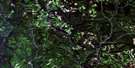
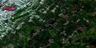
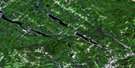
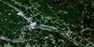
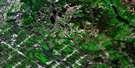
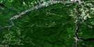
Wild Goose Lake Surrounding Area Aerial Photo Maps
 |
 |
 |
 |
 |
 |
 |
 |
 |
 |
 |
 |
 |
 |
 |
© Department of Natural Resources Canada. All rights reserved.
Wild Goose Lake Gazetteer
The following places can be found on satellite image map 021N16 Wild Goose Lake:
Wild Goose Lake Satellite Image: Geographical areas
AngoAsselin
Auclair
Restigouche
Rouillard
Saint-Quentin
Wild Goose Lake Satellite Image: Hydraulic construction
Barrage AsselinBarrage du Castor
Barrage du Petit-Lac-Lajoie
Barrage du Ruisseau-Lajoie
Barrage Lajoie
Écluse Santerre
Wild Goose Lake Satellite Image: Lakes
Étang à GeorgesÉtang Valandel
Étangs Plats
Étangs Valandel
Lac à Jos de la Veuve
Lac à l'Ours
Lac Ango
Lac Asselin
Lac Claude
Lac Daniel
Lac de la Cache
Lac de la Perdrix
Lac de l'Écluse Santerre
Lac de l'Écurie
Lac du Castor
Lac du Père-Fournier
Lac Julie
Lac Labbé
Lac Lajoie
Lac Matra
Lac Morin
Lac Raymond
Lac Santerre
Lac Sec
Lac Senan
Le Grand Étang
Les Étangs
Les Petits Étangs
Miller Lake
Mud Lake
Petit lac Lajoie
Petit lac Morin
Sixième Lac
Third Lake
Twin Lakes
Wild Goose Lake
Wild Goose Lake Satellite Image: Mountains
Montagne BelzileMontagne de la Croix à Pinet
Montagne de la Forteresse
Montagne de la Traverse du Castor
Montagne du Castor
Montagne du Lac Lajoie
Montagne du Poulailler
Monts Notre-Dame
Mount Atkinson
Wild Goose Lake Satellite Image: Major municipal/district area - major agglomerations
Rimouski-NeigetteWild Goose Lake Satellite Image: Other municipal/district area - miscellaneous
Lac-HuronWild Goose Lake Satellite Image: Conservation areas
Réserve faunique de RimouskiZec Owen
Wild Goose Lake Satellite Image: Rivers
Albert BrookAtkinson Brook
Bear Brook
Beaver Brook
Belle Kedgwick River
Belle Kedgwick River
Branche du Ruisseau Dionne
Cedar Brook
Chisholm Brook
Connors Brook
Dionne Brook
Fifteen Mile Brook
Fire Trail Branch
Fire Trail Brook
Green River
Indian Brook
Lake Branch
Left Hand Branch Belone Brook
Lefthand Belone Brook
Little Fifteen Mile Brook
McDonald Brook
Meadow Brook
Meadow Gulch
Middle Branch Belle Kedgwick River
Miller Brook
Moose Valley Brook
Otter Brook
Otter Brook
Pemouet Branch
Pemouet Brook
Pemouet Brook
Poplar Brook
Portage Brook
Prices Brook
Purvis Brook
Quigley Brook
Right Hand Branch Belone Brook
Right Hand Branch Green River
Righthand Belone Brook
Rimouski River
Rivière Horton
Rivière Owen
Rivière Rimouski
Rivière Touladi
Ruisseau Albert
Ruisseau Asselin
Ruisseau Bog
Ruisseau Bogue
Ruisseau Chisholm
Ruisseau des Henri
Ruisseau des Larmes
Ruisseau Dionne
Ruisseau Dionne
Ruisseau du Castor
Ruisseau Flat
Ruisseau Lajoie
Ruisseau Larley
Ruisseau McLean
Ruisseau Morin
Ruisseau Plat
Ruisseau Plat
Ruisseau Plourde
Ruisseau Quigley
Ruisseau Raymond
Ruisseau Tamahagan
Ruisseau Trestle
South Branch Kedgwick River
Sport Camp Brook
Third Lake Brook
Twenty Seven Mile Brook
Twin Brook
West Branch Union Brook
West Union Brook
Wild Goose Branch
Wild Goose Lake Satellite Image: Unincorporated areas
La NativitéSummit Depot
Wild Goose Lake Satellite Image: Valleys
Bouchard GulchCoulée Creuse
Eighteen Mile Gulch
LeBlanc Gulch
Six Mile Gulch
Wild Goose Lake Satellite Image: Low vegetation
Bogues à GarneauMarais Garneau
Wild Goose Lake Satellite Image: Villages
BiencourtEsprit-Saint
Lejeune
Saint-Godard-de-Lejeune
Saint-Michel-du-Squatec
© Department of Natural Resources Canada. All rights reserved.
021N Related Maps:
021N Edmundston021N02E Connors
021N02W Connors
021N03E Little Black River
021N03W Little Black River
021N04 Ste-Perpetue-De-Islet
021N05 Saint-Pacome
021N06 Estcourt
021N07 Lac-Baker
021N08 Edmundston
021N09 Grandmaison
021N10 Cabano
021N11 Saint-Honore
021N12 Saint-Pascal
021N13 Riviere-Du-Loup
021N14 Saint-Modeste
021N15 Squatec
021N16 Wild Goose Lake
