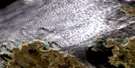
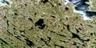
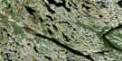
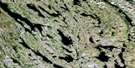
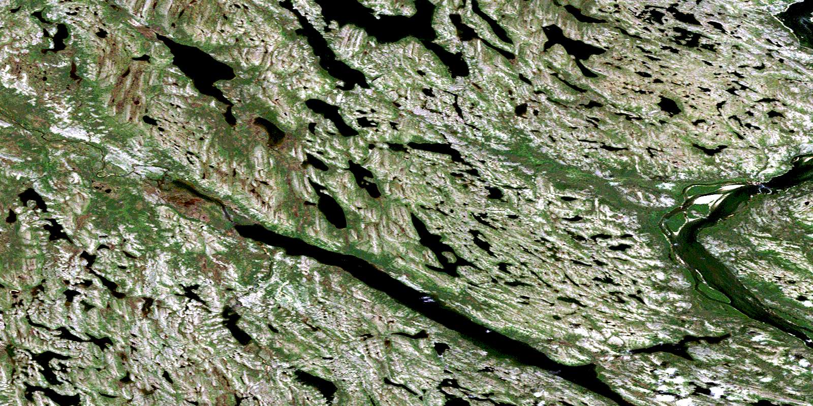
Iles Qikirtaaluit Satellite Image Map
Download Free Aerial Photo 024J08 at 1:50,000 scale
Iles Qikirtaaluit Satellite Imagery
To view this satellite map, mouse over the air photo on the right.
You can also download this satellite image map for free:
024J08 Iles Qikirtaaluit high-resolution satellite image map.
Maps for the Iles Qikirtaaluit aerial map sheet 024J08 at 1:50,000 scale are also available in these versions:
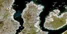
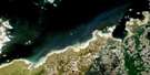
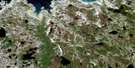
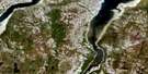
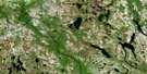
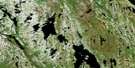
Iles Qikirtaaluit Surrounding Area Aerial Photo Maps
 |
|||
 |
 |
 |
 |
 |
 |
 |
 |
 |
 |
 |
 |
© Department of Natural Resources Canada. All rights reserved.
Iles Qikirtaaluit Gazetteer
The following places can be found on satellite image map 024J08 Iles Qikirtaaluit:
Iles Qikirtaaluit Satellite Image: Capes
Pointe AkiasiuriaqPointe Pijuminniq
Iles Qikirtaaluit Satellite Image: Islands
Île UrpilikÎles Qikirtaaluit
Iles Qikirtaaluit Satellite Image: Lakes
Lac KuurukallakLac La Roncière
Lac Qamanikuluk
Lac Ternaux
Lac Tujjaraaluk
Lac Ujarasujjulik
Tsheteskushueu
Iles Qikirtaaluit Satellite Image: Mountains
Colline InnarulikColline Ujarasujjulik
Iles Qikirtaaluit Satellite Image: Rapids
Rapides SarvaalukRapides Ulittaniup Killinga
Iles Qikirtaaluit Satellite Image: Rivers
Mushuau ShipuPupun Nikau Shipu
Rivière George
Rivière Kangertialuksoak
Rivière Lagrevé
Rivière Sirème
© Department of Natural Resources Canada. All rights reserved.
024J Related Maps:
024J Lac Ralleau024J01 Lac Tasirpaarusiq
024J02 Lac Tasivalliajuq
024J03 Lac Kavisililik
024J04 Riviere Aveneau
024J05 Cap Assaasijuup
024J06 Alukpaluk Bay
024J07 Riviere Danielou
024J08 Iles Qikirtaaluit
024J09 Riviere Marcol
024J10 Arvalik Islands
024J11 Saeglorsoak Island
024J12
024J16 Cap Naujaat
