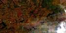
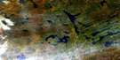
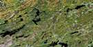
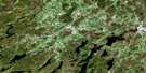
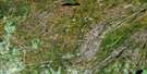
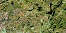
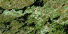
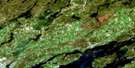
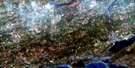
Tichborne Satellite Image Map
Download Free Aerial Photo 031C10 at 1:50,000 scale
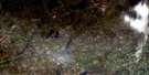
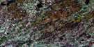
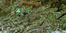
Tichborne Satellite Imagery
To view this satellite map, mouse over the air photo on the right.
You can also download this satellite image map for free:
031C10 Tichborne high-resolution satellite image map.
Maps for the Tichborne aerial map sheet 031C10 at 1:50,000 scale are also available in these versions:
Tichborne Surrounding Area Aerial Photo Maps
 |
 |
 |
 |
 |
 |
 |
 |
 |
 |
 |
 |
 |
 |
 |
 |
© Department of Natural Resources Canada. All rights reserved.
Tichborne Gazetteer
The following places can be found on satellite image map 031C10 Tichborne:
Tichborne Satellite Image: Bays
Buck BayCrow Bay
Green Bay
Hawley Bay
Hollywood Bay
Long Bay
McCrimmon Bay
Mill Bay
Mire Bay
Mud Bay
Post Office Bay
Tichborne Satellite Image: Capes
Elm PointWhiskey Point
Tichborne Satellite Image: Geographical areas
BedfordCamden East
Frontenac
Hinchinbrooke
Kennebec
Lanark
Leeds
Lennox and Addington
Loughborough
North Crosby
Olden
Oso
Portland
Sheffield
South Sherbrooke
Storrington
Tichborne Satellite Image: Islands
Ashnelot IslandBarrs Island
Bear Island
Birch Island
Birch Island
Bird Island
Buck Island
Cedar Island
Channel Island
Chicken Island
Comet Island
Earincliffe Island
Florence Island
Grape Island
Horseshoe Island
Loon Island
Mica Island
Michaels Island
Pine Island
Poplar Island
Powells Island
Rase Island
Strawberry Island
Timmermans Island
Twin Islands
Tichborne Satellite Image: Lakes
Abbott LakeArab Lake
Arden Lake
Arkon Lake
Atwood Lake
Barrett Pond
Barretts Pond
Barton Lake
Bass Lake
Bass Lake
Basshook Lake
Bear Lake
Beaver Lake
Big Clear Lake
Big Marl Lake
Big McNeil Lake
Big Salmon Lake
Big Sunfish Lake
Birch Lake
Bitch Lake
Black Lake
Bobs Lake
Buck Lake
Bull Lake
Burns Pond
Burridge Lake
Butterill Lake
Canoe Lake
Carnahan Lake
Carroll Lake
Cedar Lake
Cedar Lake
Chippego Lake
Clear Lake
Clearwater Lake
Cloudy Lake
Clow Lake
Cole Lake
Cook Lake
Cranberry Lake
Cranberry Lake
Crooks Creek Lake
Crotch Lake
Crow Lake
Danby Lake
Desert Lake
Devil Lake
Doe Lake
Dog Lake
Doran Lake
Duncan Lake
Dutch Lake
Eagle Lake
East McNeil Lakes
East McNeil Lakes
Echo Lake
Eel Lake
Elbow Lake
Farrell Lake
Farren Lake
Fermoy Lake
Fifth Depot Lake
First Depot Lake
Fish Lake
Folsom Lake
Fourteen Island Lake
Fourth Depot Lake
Fraser Lake
Garrison Lake
Garter Lake
Green Lake
Gull Lake
Hemlock Lake
Herring Lake
Holleford Lake
Horseshoe Lake
Howes Lake
Jeffs Lake
Judy Pond
Kellar Lake
Kennebec Lake
Kingsford Lake
Leggat Lake
Little Bear Lake
Little Beaver Lake
Little Black Lake
Little Canoe Lake
Little Clear Lake
Little Gull Lake
Little John Lake
Little Marl Lake
Little McNeil Lake
Little Mud Lake
Little Mud Lake
Little Norway Lake
Little Rock Lake
Little Salmon Lake
Little Sunfish Lake
Long Lake
Long Pond Lake
Loon Lake
Loyst Lake
Lyman Lake
Lynch Lake
Lynn Lake
McGuire Lake
McLaughlin Lake
McLeans Lake
McNeil Lakes
McNeil Mud Lake
Meadow Lake
Miller Lake
Miner Lake
Mink Lake
Moulton Lake
Murphy Lake
North Otter Lake
Norway Lake
Norway Lake
Norway Mud Lake
Oconto Lake
O'Reilly Lake
Otter Lake
Otter Lake
Paddys Lake
Pleasant Lake
Pond Lily Lake
Potspoon Lake
Puddle Lake
Puzzle Lake
Reynoldston Lake
Rothwell Lake
Salmon Lake
Salmon Lake
Sand Lake
Sangster Lake
Scanlin Lake
Second Depot Lake
Sexsmith Lake
Sharbot Lake
Sheffield Long Lake
Sigsworth Lake
Sixth Depot Lake
Skewgaw Lake
Slave Lake
Small Clear Lake
South Cranberry Lake
South Otter Lake
Spruce Lake
St. Andrew Lakes
St. George Lake
Stevenson Lake
Sucker Lake
Tetsmine Lake
Third Depot Lake
Thirteen Island Lake
Thirty Island Lake
Thompson Lake
Thompson Pond
Victoria Lake
Wallbridge Lake
Watson Lake
Weatherhead Lake
West Cranberry Lake
West Lake
West Norway Lake
Wheeler Lake
White Lake
Wolfe Lake
Yankee Lake
Youngs Mill Pond
Tichborne Satellite Image: Mountains
Abbotts HillArney Mountain
Barrs Hill
Church Hill
Railway Hill
The Mountain
Tichborne Satellite Image: Major municipal/district area - major agglomerations
FrontenacLanark
Lennox and Addington
United Counties of Leeds and Grenville
Tichborne Satellite Image: Other municipal/district area - miscellaneous
Bastard and South BurgessBathurst
Bathurst Burgess Sherbrooke
Bedford
Camden East
Central Frontenac
Hinchinbrooke
Kennebec
Loughborough
North Burgess
North Crosby
Olden
Oso
Portland
Rideau Lakes
Sheffield
South Crosby
South Elmsley
South Frontenac
South Sherbrooke
Stone Mills
Storrington
Tay Valley
Tichborne Satellite Image: Conservation areas
Depot Lakes Conservation AreaFrontenac Provincial Park
Mellon Lake Conservation Reserve
Puzzle Lake Provincial Park
Tichborne Satellite Image: Rivers
Barrs CreekBeaver Creek
Carman Creek
Cole Creek
Davern Creek
Depot Creek
Devil Lake Creek
Eagle Creek
Fish Creek
Mitchell Creek
Otter Creek
Salmon River
Shibagau Creek
Stag Creek
Story Creek
Stub Creek
Sucker Harbour Creek
Uens Creek
White Creek
Whitman Creek
Tichborne Satellite Image: Unincorporated areas
ArdenArdendale
Bedford
Bellheck
Bobs Lake
Bradshaw
Burridge
Camp Oconto
Cole Lake
Crow Lake
Desert Lake
Echo
Fermoy
Glendower
Godfrey
Gull Creek
Hinchinbrooke
Long Lake
McLean
Mountain Grove
Oak Flats
Oconto
Olden
Parham
Piccadilly
Reynoldston
Sangster
Tichborne
Trafford
Wagarville
Wilkinson
Tichborne Satellite Image: Low vegetation
Vandusens Marsh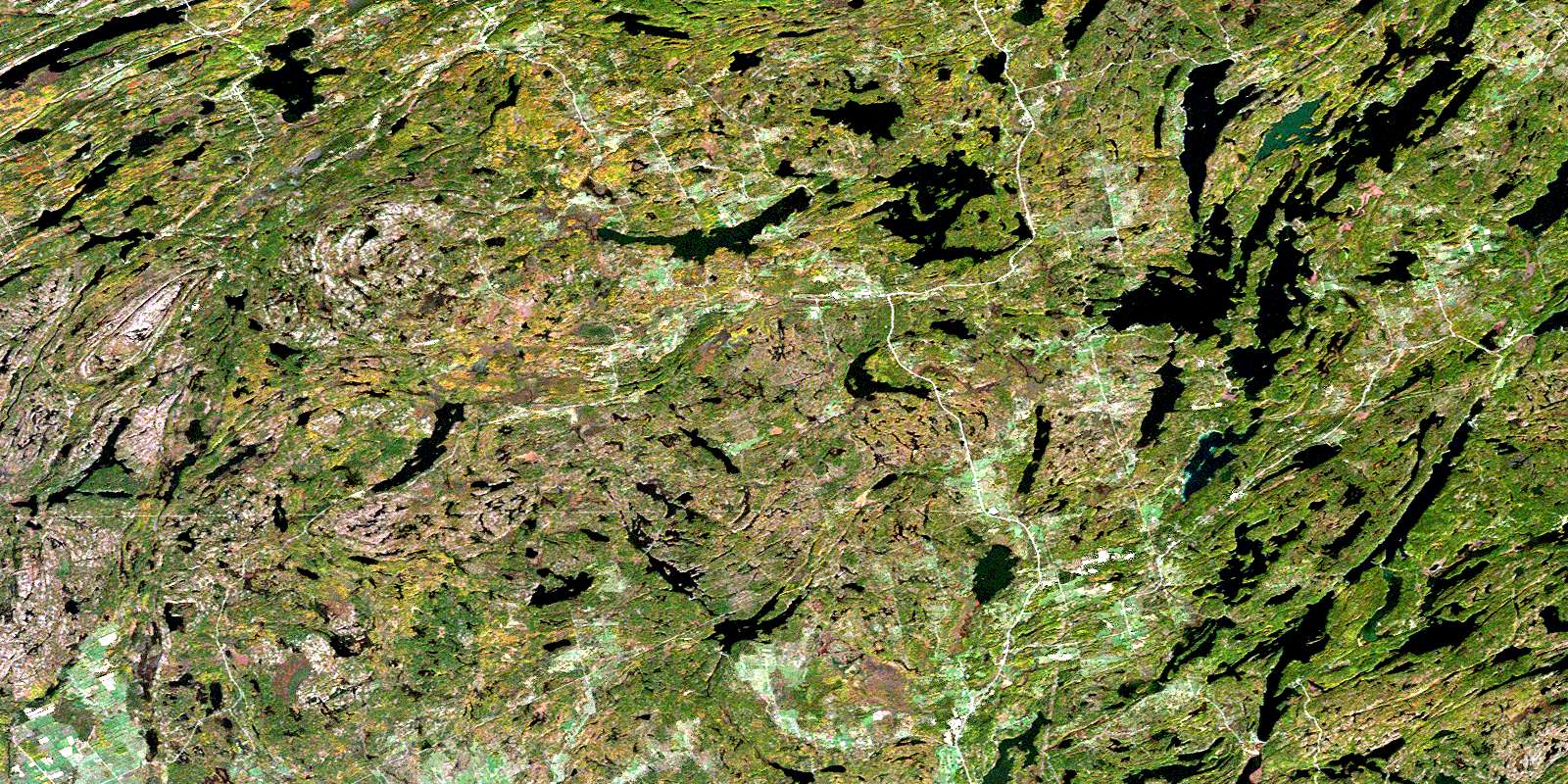
© Department of Natural Resources Canada. All rights reserved.
