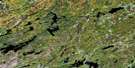
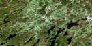
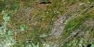
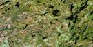
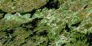
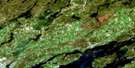
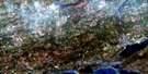
Bon Echo Satellite Image Map
Download Free Aerial Photo 031C14 at 1:50,000 scale
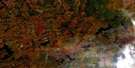
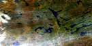
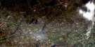
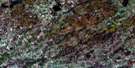
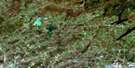
Bon Echo Satellite Imagery
To view this satellite map, mouse over the air photo on the right.
You can also download this satellite image map for free:
031C14 Bon Echo high-resolution satellite image map.
Maps for the Bon Echo aerial map sheet 031C14 at 1:50,000 scale are also available in these versions:
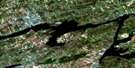
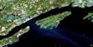
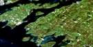
Bon Echo Surrounding Area Aerial Photo Maps
 |
 |
 |
 |
 |
 |
 |
 |
 |
 |
 |
 |
 |
 |
 |
 |
© Department of Natural Resources Canada. All rights reserved.
Bon Echo Gazetteer
The following places can be found on satellite image map 031C14 Bon Echo:
Bon Echo Satellite Image: Bays
Brown's BayCampbell Bay
Earls Bay
Echo Bay
German Bay
Green Bay
Hungry Bay
Jacques' Bay
Michell Bay
Snyder Bay
Watkin Bay
Bon Echo Satellite Image: Capes
Washing Machine PointBon Echo Satellite Image: Channels
The NarrowsBon Echo Satellite Image: Geographical areas
AbingerAnglesea
Barrie
Cashel
Clarendon
Effingham
Frontenac
Grimsthorpe
Hastings
Kaladar
Kennebec
Lennox and Addington
Miller
Bon Echo Satellite Image: Islands
Big Bear IslandBig Island
Blake Island
Ikthoos Island
Michell Island
Snake Island
Bon Echo Satellite Image: Lakes
Abes LakeBaudette Lake
Beech Lake
Benny's Lake
Big Gull Lake
Big McCaw Lake
Bishop Lake
Blind Lake
Blue Lake
Bon Echo Lake
Boundary Lake
Buck Lake
Buckshot Lake
Campbell Lake
Canniff Lake
Canoe Lake
Cedar Lake
Charlies Lake
Clarendon Lake
Cloyne Lake
Clutes Lake
Dafoe Lake
Dog Lake
Effingham Lake
Elbow Lake
Essens Lake
Feeny Lake
Georgia Lake
Green Lake
Grimsthorpe Lake
Hannah Lake
Hicks Lake
Hill Lake
Hills Lake
Horton Lake
Joeperry Lake
Kashwakamak Lake
Kerr Lake
Kilbourne Lake
Killer Lake
Kishkebus Lake
Lingham Lake
Little Bishop Lake
Little Green Lake
Little Long Lake
Little Marble Lake
Little McCaw Lake
Little Merrill Lake
Little Mink Lake
Little Mink Lake
Little Mississagagon Lake
Little Mud Lake
Little Rock Lake
Little Sanford Lake
Little Shabomeka Lake
Little Stoll Lakes
Long Mallory Lake
Lower Mazinaw Lake
Machesney Lake
Mackavoy Lake
Mallory Lake
Marble Lake
Mazinaw Lake
Mazinaw Lake
McCausland Lake
McDowall Lake
McNeils Lake
Merrill Lake
Minktrack Lake
Mississagagon Lake
Mitchell Lake
Morgan Lake
Muskrat Lake
Neal Lake
Nervine Lake
Norway Lake
Norway Lake
Partridge Lake
Pearson Lake
Plevna Lake
Pringle Lake
Quebec Lake
Rainy Lake
Reid Lakes
Rock Lake
Rockside Lake
Salmond Lake
Salmond Twin Lakes
Sand Lake
Semicircle Lake
Shabomeka Lake
Shaw Lake
Shawenegog Lake
Shedwick Lake
Sheldrake Lake
Shoepack Lake
Silva Lake
Skootamatta Lake
Slave Lake
Star Lake
Stoll Lake
Story Lake
Stringer Lake
Swamp Lake
Tamarack Lake
Tawny Pond
Tilney Lake
Tiny Shabomeka Lake
Todd Lakes
Tonawa Lake
Topper Lake
Turtle Lake
Twin Lake
Twin Lakes
Upper Mazinaw Lake
Upper Partridge Lake
Valhalla Lake
Walden Pond
Washes Lake
Weslemkoon Lake
Whitefish Lake
Wickware Lake
Woods Lake
Bon Echo Satellite Image: Mountains
Mazinaw RockRekr Rock
Rock Candy Mountain
Bon Echo Satellite Image: Major municipal/district area - major agglomerations
FrontenacHastings
Lennox and Addington
Bon Echo Satellite Image: Other municipal/district area - miscellaneous
Addington HighlandsBarrie
Central Frontenac
Clarendon and Miller
Denbigh, Abinger and Ashby
Elzevir and Grimsthorpe
Hinchinbrooke
Hungerford
Kaladar, Anglesea and Effingham
Kennebec
North Frontenac
Olden
Oso
Palmerston and North and South Canonto
Tudor and Cashel
Tweed
Bon Echo Satellite Image: Conservation areas
Bon Echo Provincial ParkKishkebus Lake Wilderness Area
Lingham Lake Conservation Reserve
Bon Echo Satellite Image: Rapids
Marble RapidsWhitefish Rapids
Bon Echo Satellite Image: Rivers
Beaver CreekBlack River
Bon Echo Creek
Boundary Creek
Browns Creek
Buckshot Brook
Buckshot Creek
Burtchell Creek
Campbell Creek
Canniff Creek
Coburn Creek
Dead Creek
Elbow Lake Creek
Fraser Creek
Grant Creek
Killer Creek
Mallory Creek
Merrill Creek
Mississippi River
Muggs' Mud Creek
North Creek
Partridge Creek
Rainy Creek
Semicircle Creek
Shoepack Creek
Skootamata River
Skootamatta River
Stoll Creek
Story Creek
Swamp Creek
Valhalla Creek
Winter Road Creek
Wolf Creek
Bon Echo Satellite Image: Shoals
Old Walt RockBon Echo Satellite Image: Unincorporated areas
Beech CornersBishop Corners
Bon Echo
Cloyne
Harlowe
Massanoga
McCrae
Myer Cave
Myers Cave
Weslemkoon
Bon Echo Satellite Image: Low vegetation
Humphrey Marsh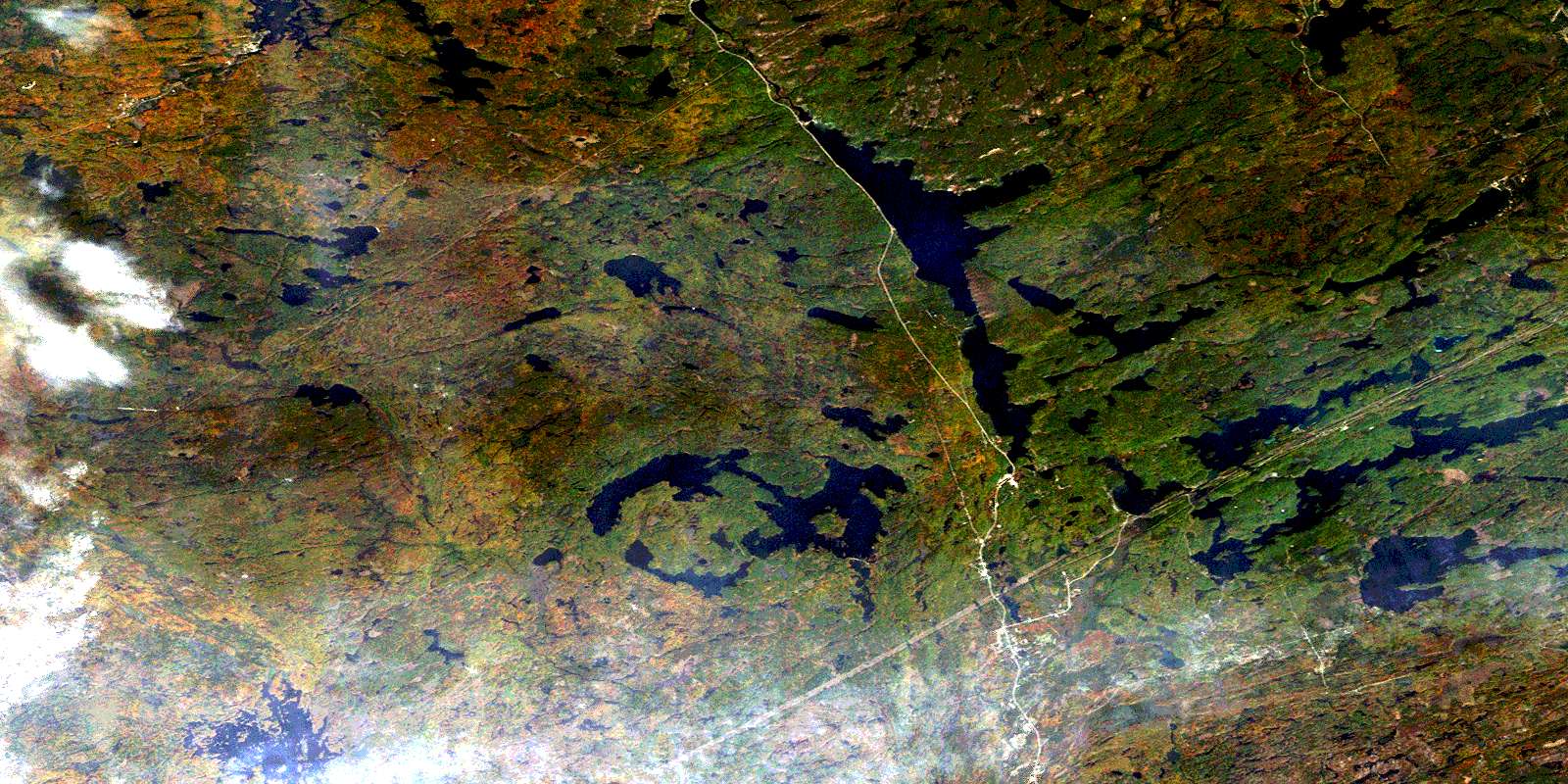
© Department of Natural Resources Canada. All rights reserved.
