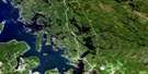
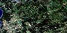
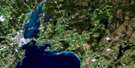
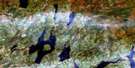
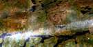
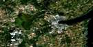
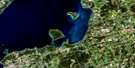
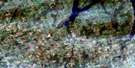
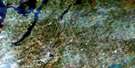
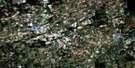
Beaverton Satellite Image Map
Download Free Aerial Photo 031D06 at 1:50,000 scale
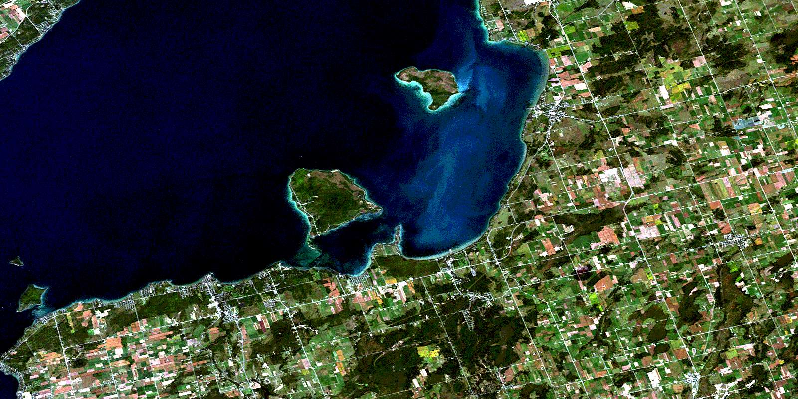
Beaverton Satellite Imagery
To view this satellite map, mouse over the air photo on the right.
You can also download this satellite image map for free:
031D06 Beaverton high-resolution satellite image map.
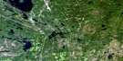
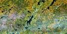
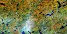
Maps for the Beaverton aerial map sheet 031D06 at 1:50,000 scale are also available in these versions:
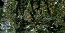
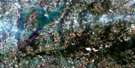
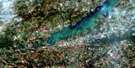
Beaverton Surrounding Area Aerial Photo Maps
 |
 |
 |
 |
 |
 |
 |
 |
 |
 |
 |
 |
 |
 |
 |
 |
© Department of Natural Resources Canada. All rights reserved.
Beaverton Gazetteer
The following places can be found on satellite image map 031D06 Beaverton:
Beaverton Satellite Image: Bays
Beaverton HarbourBradens Bay
Cook's Bay
Woods Bay
Beaverton Satellite Image: Beaches
McCrae BeachMcRae Beach
Moores Beach
Sunnybrook Beach
Beaverton Satellite Image: Capes
Bald PointBlackbird Point
Centre Point
Duclos Point
Eagle Point
Jacksons Point
Mara Point
Mossington Point
North Point
Sawlog Point
Sibbald Point
Sibbalds Point
South Point
Woodman Point
Beaverton Satellite Image: City
Kawartha LakesBeaverton Satellite Image: Geographical areas
BrockEldon
Georgina
Mara
Mariposa
North Gwillimbury
Ontario
Oro
Thorah
Uxbridge
Beaverton Satellite Image: Indian Reserves
Chippewas of Georgina Island First NationChippewas of Georgina Island First Nation 33A
Chippewas of Georgina Island First Nation Indian Reserve
Chippewas of Georgina Island First Nation Indian Reserve 33A
Georgina Island Indian Reserve 33
Georgina Island Indian Reserve 33A
Réserve indienne Chippewas of Georgina Island First Nation
Réserve indienne Chippewas of Georgina Island First Nation 33A
Réserve indienne Georgina Island 33
Réserve indienne Georgina Island 33A
Beaverton Satellite Image: Islands
Fox IslandGeorgina Island
Sand Islands
Snake Island
Thorah Island
Beaverton Satellite Image: Lakes
Lake SimcoeBeaverton Satellite Image: Mountains
Gibson HillLittle Hell Hill
Beaverton Satellite Image: Major municipal/district area - major agglomerations
DurhamOntario
Simcoe
United Counties of Northumberland and Durham
Victoria
York
Beaverton Satellite Image: Other municipal/district area - miscellaneous
BexleyBobcaygeon/Verulam
Brock
Carden
Carden/Dalton
Dalton
Eldon
Emily
Fenelon
Laxton, Digby and Longford
Manvers
Mara
Mariposa
Ops
Oro-Medonte
Rama
Ramara
Somerville
Thorah
Uxbridge
Verulam
Beaverton Satellite Image: Conservation areas
Duclos Point Provincial Nature ReserveLieu historique national du Canada de la Voie-Navigable-Trent--Severn
Sibbald Point Provincial Park
Trent--Severn Waterway National Historic Site of Canada
Beaverton Satellite Image: Rivers
Allingham CreekBeaver River
Beaverton River
Black River
Burts Creek
Hawkestone Creek
Layton River
Pefferlaw Brook
Pefferlaw River
Talbot River
Uxbridge Brook
Vrooman Creek
White's Creek
Zephyr Creek
Beaverton Satellite Image: River features
The Devils ElbowBeaverton Satellite Image: Shoals
Bald ShoalBig Shoal
Centre Shoal
Eight Mile Shoal
Fox Island Shoal
Hawkestone Shoal
Jimmy Warren Shoal
Long Shoal
Mara Shoal
McCrae Shoal
McRae Shoal
Oro Reef
Snake Rocks
Townline Shoal
White Shoal
Willow Rocks
Woodman Shoal
Beaverton Satellite Image: Towns
GeorginaBeaverton Satellite Image: Unincorporated areas
Alsops BeachArgyle
Baldwin
Balfour Beach
Barrillia Park
Beaverton
Beaverton East
Belhaven
Bradens Bay
Briars Park
Brighton Beach
Cannington
Cedar Beach
Cedar Beach
Cedarhurst
Cedarhurst Beach
Crescent Beach
Derryville
Duclos Point
Eastbourne
Egypt
Ethel Park
Filey Beach
Franklin Beach
Gamebridge
Gamebridge Beach
Gamebridge East
Gamebridge East Station
Gamebridge Station
Gamebridge West Station
Georgina Island
Greenwater
Hawkestone
Hawkestone Beach
Holmes Point
Horneville
Island Grove
Island View Beach
Jackson Point
Jacksons Point
Keswick
Lorneville
Maple Beach
Marina Estates
McLennan's Beach
McRae Beach
Moorelands
Mossington Park
Orchard Beach
Orchard Grove
Oro Park
Palm Beach
Paradise Beach
Parkside Beach
Pefferlaw
Port Bolster
Pugsley Crossing
Riverview Beach
Roche Point
Roches Point
Royal Beach
Saginaw
Sedores
Simcoeside
Sunderland
Sunkist Beach
Sunset Beach
Sutton
Sutton West
Thorah Beach
Thorah Island
Udora
Vachell
Vallentyne
Virginia
Virginia Beach
Vroomanton
Waddington Beach
Wilfrid
Willow Beach
Woodville
Woodville Station
© Department of Natural Resources Canada. All rights reserved.
