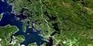
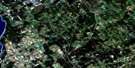
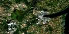
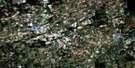
Lindsay Satellite Image Map
Download Free Aerial Photo 031D07 at 1:50,000 scale
Lindsay Satellite Imagery
To view this satellite map, mouse over the air photo on the right.
You can also download this satellite image map for free:
031D07 Lindsay high-resolution satellite image map.
Maps for the Lindsay aerial map sheet 031D07 at 1:50,000 scale are also available in these versions:
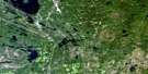
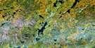
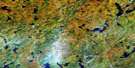
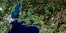
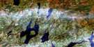
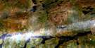
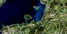
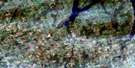
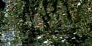
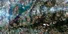
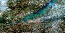
Lindsay Surrounding Area Aerial Photo Maps
 |
 |
 |
 |
 |
 |
 |
 |
 |
 |
 |
 |
 |
 |
 |
 |
© Department of Natural Resources Canada. All rights reserved.
Lindsay Gazetteer
The following places can be found on satellite image map 031D07 Lindsay:
Lindsay Satellite Image: Bays
Goose BayKennedy Bay
Long Point Bay
Lindsay Satellite Image: Capes
Ball PointKillabys Point
Long Point
Lindsay Satellite Image: City
Kawartha LakesLindsay Satellite Image: Geographical areas
BrockCavan
Eldon
Emily
Fenelon
Harvey
Manvers
Mariposa
Ops
Peterborough
Verulam
Victoria
Lindsay Satellite Image: Indian Reserves
Islands in the Trent Waters Indian Reserve 36ARéserve indienne Islands in the Trent Waters 36A
Lindsay Satellite Image: Islands
Green IslandNigger Island
Lindsay Satellite Image: Lakes
Emily LakeGoose Lake
Kawartha Lakes
Lake Scugog
Pigeon Lake
Sturgeon Lake
Lindsay Satellite Image: Mountains
Baldy HillHogsback
Mount Horeb
Mount Nebo
Lindsay Satellite Image: Major municipal/district area - major agglomerations
DurhamOntario
Peterborough
United Counties of Northumberland and Durham
Victoria
Lindsay Satellite Image: Other municipal/district area - miscellaneous
BexleyBobcaygeon/Verulam
Brock
Carden
Carden/Dalton
Cavan
Cavan-Millbrook-North Monaghan
Dalton
Eldon
Emily
Fenelon
Galway and Cavendish
Galway-Cavendish and Harvey
Harvey
Laxton, Digby and Longford
Manvers
Mariposa
North Monaghan
Ops
Ops
Somerville
Verulam
Lindsay Satellite Image: Conservation areas
Emily Provincial ParkKen Reid Conservation Area
Lieu historique national du Canada de la Voie-Navigable-Trent--Severn
Trent--Severn Waterway National Historic Site of Canada
Lindsay Satellite Image: Rivers
East Cross CreekEmily Creek
Fleetwood Creek
Jackson Creek
Layton River
Mariposa Brook
Martin Creek
McLaren Creek
Pearns Creek
Pigeon River
Potash Creek
Scugog River
Staples River
Stony Creek
White's Creek
Lindsay Satellite Image: Unincorporated areas
CambrayCambray Station
Cameron
Cedar Glen
Cowan's Bay
Cresswell
Cunningham's Corners
Daytona Beach
Daytonia Beach
Downeyville
Dunsford
Elm Tree Corners
Fee Landing
Fee's Landing
Feir Mill
Fox's Corners
Glandine
Glenarm
Glenway Village
Grasshill
Greenhurst-Thurstonia
Hall
Hartley
Hickory Beach
Hillhead
Hillhead Corners
Islay
Jones Siding
Keneden Park
Kenhill Beach
Kennedy Bay
Kenrei Park
Kings Wharf
Lakeview Estates
Linden Valley
Lindsay
Little Britain
Long Beach
Manilla
Manilla Junction
Mariposa
McKenzie
McKenzie Crossing
Mount Horeb
Oakwood
O'Donnell Landing
Omemee
Omemee West
Ops
Pickerel Point
Pleasant Point
Pleasant Point Station
Powles Corners
Rea Station
Reaboro
Salem Corners
Sandy Point
Snug Harbour
Southview Estates
Sturgeon Point
Taylor Corners
Thurstonia Park
Victoria Place
Woodville
Zion
Lindsay Satellite Image: Low vegetation
Grassy Marsh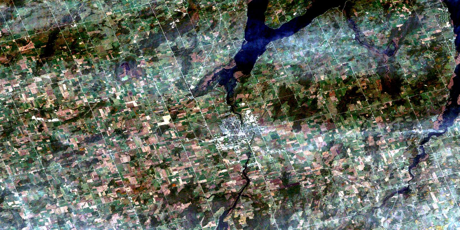
© Department of Natural Resources Canada. All rights reserved.
