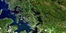
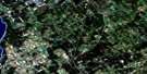
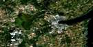
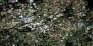
Minden Satellite Image Map
Download Free Aerial Photo 031D15 at 1:50,000 scale
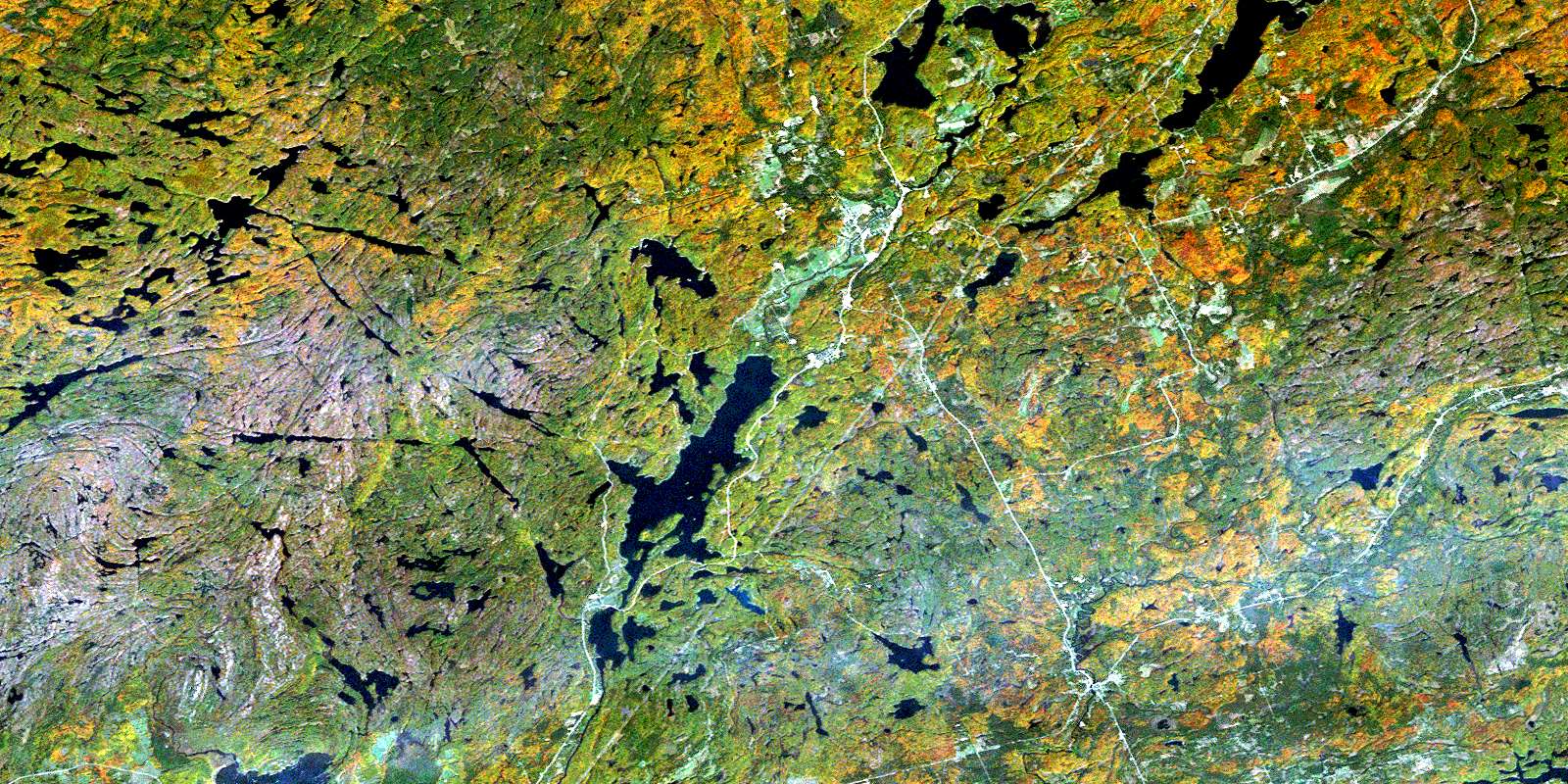
Minden Satellite Imagery
To view this satellite map, mouse over the air photo on the right.
You can also download this satellite image map for free:
031D15 Minden high-resolution satellite image map.
Maps for the Minden aerial map sheet 031D15 at 1:50,000 scale are also available in these versions:
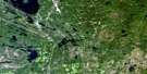
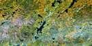
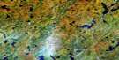
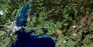
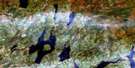
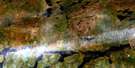
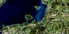
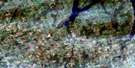
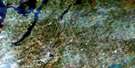
Minden Surrounding Area Aerial Photo Maps
 |
 |
 |
 |
 |
 |
 |
 |
 |
 |
 |
 |
 |
 |
 |
 |
© Department of Natural Resources Canada. All rights reserved.
Minden Gazetteer
The following places can be found on satellite image map 031D15 Minden:
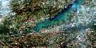
Minden Satellite Image: Bays
Boot BayDeep Bay
Iron Mine Bay
Kilcoo Harbour
Miners Bay
Sandy Bay
Minden Satellite Image: Capes
Chapel PointLookout Point
Minden Satellite Image: City
Kawartha LakesMinden Satellite Image: Falls
Moore FallsRackety Falls
Three Brothers Falls
Minden Satellite Image: Geographical areas
AnsonDigby
Dysart
Galway
Glamorgan
Haliburton
Hindon
Laxton
Longford
Lutterworth
Minden
Muskoka
Snowdon
Somerville
Minden Satellite Image: Hydraulic construction
Big Bob DamMinden Satellite Image: Islands
Alice IslandBattle Island
Campbell Island
Casimir Island
Cockburn Island
Easter Island
Harriet Island
Lakeview Island
Long Island
Nepawin Island
North Morris Island
Puffers Island
Shuyler Island
South Morris Island
St. Helena Island
Sugar Island
Victoria Island
Wintergreen Island
Minden Satellite Image: Lakes
Andrews LakeBat Lake
Beer Lake
Big Duck Lake
Big Trout Lake
Birchbark Lake
Black Lake
Bob Lake
Boot Lake
Bow Lake
Browns Lake
Buller Lake
Canning Lake
Cedar Lake
Circlet Lake
Clear Lake
Clear Lake
Coburn Lake
Cooney Lake
Copper Lake
Corben Lake
Cranberry Lake
Crego Lake
Crooked Lake
Crotchet Lake
Crystal Lake
Davis Lake
Denna Lake
Devil's Lake
Digby Lake
Duck Lake
East Moore Lake
Elsie Lake
Fisher Lake
Fishog Lake
Goodoar Lake
Gull Lake
Head Lake
Horseshoe Lake
Howland Lake
Jordan's Lake
Kashagawigamog Lake
Kinmount Lake
Koshlong Lake
Little Bob Lake
Little Boot Lake
Little Coburn Lake
Little Elsie Lake
Little Gull Lake
Little Millward Lake
Lochlin Lake
Logan Lake
Long Lake
Lower Digby Lake
Lower Goodoar Lake
Lutterworth Lake
Marigold Lake
Millward Lake
Minden Lake
Minden Lake
Miserable Lake
Moore Lake
Moore Lake
Mountain Lake
Murphy Lake
North Beaver Lake
North Fishog Lake
North Otter Lake
North Pigeon Lake
Oak Lake
Otter Lake
Pauper Lake
Plewman Lake
Pockett Lake
Rainy Lake
Red Boat Lake
Round Lake
Salerno Lake
Sam's Lake
Scrabble Lake
Sheldon Lake
Sickle Lake
Sludge Lake
Smudge Lake
Snake Lakes
South Anson Lake
South Beaver Lake
South Lake
Spar Lake
Thrasher Lake
Trawler Lake
Trounce Lake
Union Lake
Upper Andrews Lake
Victoria Lake
West Lake
West Moore Lake
West Moore's Lake
West Victoria Lake
Wolf Lake
Minden Satellite Image: Major municipal/district area - major agglomerations
HaliburtonMuskoka
Victoria
Minden Satellite Image: Other municipal/district area - miscellaneous
Anson, Hindon and MindenBexley
Bicroft
Bobcaygeon/Verulam
Carden
Carden/Dalton
Cardiff
Dalton
Dysart, Dudley, Harcourt, Guilford, Harburn, Bruton, Havelock, Eyre and Clyde
Eldon
Emily
Fenelon
Galway and Cavendish
Galway-Cavendish and Harvey
Glamorgan
Harvey
Highlands East
Laxton, Digby and Longford
Lutterworth
Manvers
Mariposa
Minden Hills
Monmouth
Ops
Snowdon
Somerville
Verulam
Minden Satellite Image: Conservation areas
Dalton Digby Wildlands Provincial ParkQueen Elizabeth II Wildlands Provincial Park
Minden Satellite Image: Rivers
Andrews CreekAnson Creek
Bark Creek
Beer Creek
Black Creek
Blackberry Creek
Bob Creek
Burnt River
Cache Creek
Coburn Creek
Corben Creek
Crego Creek
Denna Creek
Digby Creek
Drag River
Gold Creek
Gull River
Head River
Howland Creek
Irondale River
Kendrick Creek
Koshlong Creek
Lochlin Creek
Lutterworth Creek
Miners Creek
Plewman Creek
Salerno Creek
Sheldon Creek
Sickle Creek
Smudge Creek
Thrasher Creek
Trawler Creek
Union Creek
Minden Satellite Image: Towns
BracebridgeMinden Satellite Image: Unincorporated areas
AllsawBuller
Cardiff
Deep Bay
Donald
Dutch Line
Elsie
Furnace Falls
Gelert
Horseshoe Lake
Howland
Ingoldsby
Irondale
Kilcoo Camp
Kinmount
Lochlin
Lutterworth
Minden
Miners Bay
Moore Falls
Mount Irwin
Rackety
© Department of Natural Resources Canada. All rights reserved.
