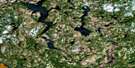
Clyde Forks Satellite Image Map
Download Free Aerial Photo 031F02 at 1:50,000 scale
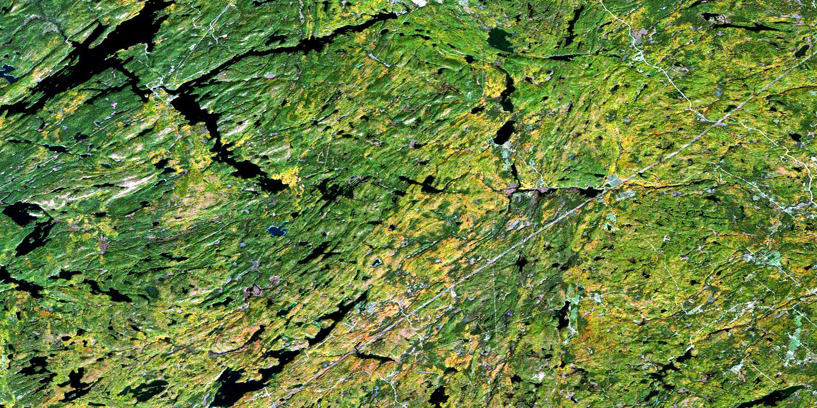
Clyde Forks Satellite Imagery
To view this satellite map, mouse over the air photo on the right.
You can also download this satellite image map for free:
031F02 Clyde Forks high-resolution satellite image map.
Maps for the Clyde Forks aerial map sheet 031F02 at 1:50,000 scale are also available in these versions:
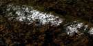
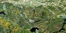
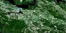
Clyde Forks Surrounding Area Aerial Photo Maps
 |
 |
 |
 |
 |
 |
 |
 |
 |
 |
 |
 |
 |
 |
 |
 |
© Department of Natural Resources Canada. All rights reserved.
Clyde Forks Gazetteer
The following places can be found on satellite image map 031F02 Clyde Forks:
Clyde Forks Satellite Image: Bays
Arcol BayCruse Bay
Deep Bay
Clyde Forks Satellite Image: Capes
Big PointGravel Point
Whites Point
Clyde Forks Satellite Image: Falls
Craigs ChuteHigh Falls
Little Mountain Chute
Mountain Chute
Mountain Chute
Clyde Forks Satellite Image: Geographical areas
BagotBlithfield
Brougham
Clarendon
Dalhousie
Darling
Frontenac
Lanark
Lanark
Lavant
Matawatchan
Miller
North Canonto
North Sherbrooke
Palmerston
Renfrew
South Canonto
Clyde Forks Satellite Image: Islands
Arcol IslandBarnes Island
Dubreuil Island
Clyde Forks Satellite Image: Lakes
Anderson LakeAntoine Lake
Arcol Lake
Bagot Long Lake
Bailey Lake
Barretts Lake
Barry Lake
Bartraw Lake
Battery Lake
Bear Lake
Beaver Lake
Belanger Lake
Big Lake
Big Mud Lake
Billa Lake
Bingley Lake
Black Donald Lake
Black Lake
Blithfield Long Lake
Blueberry Lake
Bobs Lake
Bottle Lake
Boundary Lake
Bower Lake
Bowers Lake
Bradfords Lake
Brasees Lake
Brook Lake
Brownings Pond
Brue Lake
Buck Lake
Bullseye Lake
Butternut Lake
Caldwell Lake
Camp Lake
Canonto Lake
Captains Lake
Carter Lake
Cedar Lake
Chain Lakes
Chamber Lake
Charlie Lake
Chathams Lake
Cheney Lake
Chenny Lake
Clay Lake
Clear Lake
Closs Lake
Club Lake
Clyde Lake
Connors Lake
Crag Lake
Cranberry Lake
Crib Lake
Croft Lake
Croker Lake
Cruse Lake
Darling Long Lake
Darling Round Lake
Deep Lake
Dixon Lake
Dobbie Lake
Dodge Lake
Donald Lakes
Duck Lake
Duncs Lake
Dunks Lake
Egg Lake
Elbow Lake
Fawn Lake
Flemings Lake
Flower Lake
Flower Round Lake
Fox Lake
Gallagher Lake
Geordies Lake
Gling Lake
Gorr Lakes
Govan Lake
Graham Lake
Graham Lake
Granite Lake
Gravel Lake
Gravel Lake
Green Lake
Grindstone Lake
Gunns Lake
Hardwood Lake
Harts Lake
Heart Lake
Heifer Lake
Hemlock Lake
Hidden Lake
Hollinger Lake
Horne Lake
Hungry Lake
Jamieson Lake
Jerry Lake
Joe Lake
Joes Lake
Juniper Lake
Kates Lake
Keles Lake
Kelford Lake
Kellys Lake
Kidney Lake
Kirkwood Lake
Kitchen Lake
Knottypine Lake
La France Lake
Labine Lake
Larocques Lake
Lavant Lake
Lavant Long Lake
Leclaire Lake
Limestone Lake
Little Camp Lake
Little Crag Lake
Little Green Lake
Little Green Lake
Little Joe Lake
Little Joes Lake
Little LaFrance Lake
Little Limestone Lake
Little Mackie Lake
Little Millar Lake
Little Minnow Lake
Little Mosque Lake
Little Mountain Lake
Little Mud Lake
Little Rock Lake
Little Schooner Lake
Little Wilson Lake
Lonewolf Lake
Long Schooner Lake
Longbay Lake
Longstone Lake
Lower Fish Lake
Lower Park Lake
Lower Pondlilies Lake
Mackie Lake
Mair Lake
Majores Lake
Mann Lake
Marble Lake
Marl Lake
Marl Pond
Marsh Lake
Matthie Lake
McConnel Lake
McCreary Lake
McGonegal Lake
McIlraith Lake
McIntosh Lake
Mile Lake
Minnow Lake
Minnow Lake
Moore Lake
Mosque Lake
Moss Lake
Mountain Lake
Mousseau Lake
Mud Lake
Murray Lake
Napier Lake
Nelson Lakes
Nichol Lake
Nichols Lake
Nicholson Lake
Norcan Lake
North Granite Lake
Norway Lake
Oakhill Lake
Obtuse Lake
Ohlmann Lake
Oriole Lake
Otter Lake
Otter Lake
Paddy Lake
Paddys Lake
Palmerston Lake
Park Lake
Park Lake
Patterson Lake
Perch Lake
Peterwhite Lake
Phil Lake
Pigeon Lake
Pilons Lake
Pond Lake
Pond on the Hill
Pothole Lake
Poverty Pond
Quinn Lake
Raindrop Lake
Raycroft Lake
Reddys Lake
Redhorse Lake
Reid Lake
Robertson Lake
Robinsons Lake
Rock Lake
Rock Lake
Rockcliffe Lake
Round Schooner Lake
Roundcamp Lake
Russell Lake
Salmond Lake
Sandy Bay Lake
Scully Lake
Shaw Lake
Shiner Lake
Skead Lake
Smiths Lake
Snake Lake
Snake Lake
Snake Lake
Snowshoe Lake
South Portage Lake
South Quinn Lake
Spectacle Lake
Spot Lake
Spring Lake
Spruce Lake
Squaw Lake
Steer Lake
Stewarts Lake
Stones Lake
Straddlebug Lake
Stubinski Lake
Sullivan Lake
Summit Lake
Sunday Lake
Tate Lake
Taylor Lake
Taylor Pond
The Fish Lakes
Tower Lake
Tumbler Lake
Turcott Lake
Turtle Lake
Twentysix Lake
Twin Lake
Twin Lakes
Upper Park Lake
Upper Pondlilies Lake
Wabun Lake
West Quinn Lake
Whitesucker Lake
Widow Lake
Willyhart Lake
Wolfe Lake
Wood Lake
Wood Lake
Woods Lake
Wrights Pond
Clyde Forks Satellite Image: Mountains
Bartraw Lake MountainBlack Donald Hills
Bluff Mountain
Boiceys Mountain
Closs Lake Mountain
Clyde Lake Mountain
Elm Hill
Evergreen Mountain
Fergusons Hill
Gorrs Mountain
Lavant Mountain
Madawaska Highlands
McCreas Hill
McGonegals Mountain
McGonigals Mountain
Mile Lake Mountain
Mount McCreary
Mount St. Patrick Mountains
Murrays Hill
Oak Hills
Snake Lake Mountain
St. Pierre Hill
Stewarts Hill
White Mountain
Clyde Forks Satellite Image: Major municipal/district area - major agglomerations
FrontenacLanark
Renfrew
Clyde Forks Satellite Image: Other municipal/district area - miscellaneous
Bagot and BlythfieldBagot, Blythfield and Brougham
Barrie
Brougham
Clarendon and Miller
Dalhousie and North Sherbrooke
Darling
Greater Madawaska
Griffith and Matawatchan
Lanark
Lanark Highlands
Lavant
Lavant, Dalhousie and North Sherbrooke
North Frontenac
North West Lanark
Palmerston and North and South Canonto
Clyde Forks Satellite Image: Conservation areas
Centennial Lake Provincial Nature ReserveClyde Forks Satellite Image: Rapids
Boyles RapidsCedar Rapids
Deschenes Rapids
Half Mountain Rapids
Clyde Forks Satellite Image: Rivers
Baldwin Depot CreekBlack Creek
Black Donald Creek
Boundary Creek
Bradfords Creek
Broad Brook
Broad Creek
Clyde River
Conns Creek
Craigs Creek
Cranberry Creek
Cranberry Creek
Croker Creek
Deadbeaver Creek
Eastons Creek
Edmunds Creek
Fairs Creek
Holliday Creek
Indian River
Juniper Creek
Keles Creek
La France Creek
Lavant Creek
Little Antoine Creek
Little Black Donald Creek
Little Clyde River
Long Lake Creek
Mackie Creek
Madawaska River
Majore Creek
McCreas Creek
McLarens Creek
Middle Branch Clyde Creek
Middle Branch Creek
Mile Creek
Mosquito Creek
Norcan Creek
Peterson Creek
Pilons Creek
Poland Creek
Pondlily Creek
Purdons Creek
Quinn Creek
Raycroft Creek
Raycroft Creek
Reddys Creek
South Branch Clyde River
South Clyde River
Sunday Creek
Waddle Creek
Wilsons Creek
Clyde Forks Satellite Image: Unincorporated areas
Barrett ChuteBeatty
Black Donald
Black Donald Mines
Canonto
Clyde Forks
Flower Station
Folger
French Line
Gordon Rapids
Green Mountain
Joes Lake
Lammermoor
Lavant
Lavant Station
Lodore
Marble Bluff
Ompah
Poland
Umpherston Mill
White
Wilbur
Clyde Forks Satellite Image: Valleys
Iron Mine GullyClyde Forks Satellite Image: Low vegetation
Barr LakeBarrs Meadow
Beaton Meadows
Black Creek Meadow
Bruno Marsh
Burnt Meadow
Dwyer Marsh
Little Depot Marsh
McCrimmons Marsh
McDonald Meadow
Paddy Marsh
Paddys Marsh
Parks Marsh
Pondlily Marsh
Umpherson Meadow
Umpherston Meadow
Wilbur Meadows
© Department of Natural Resources Canada. All rights reserved.
