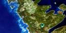
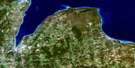
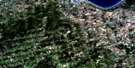
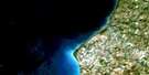
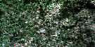
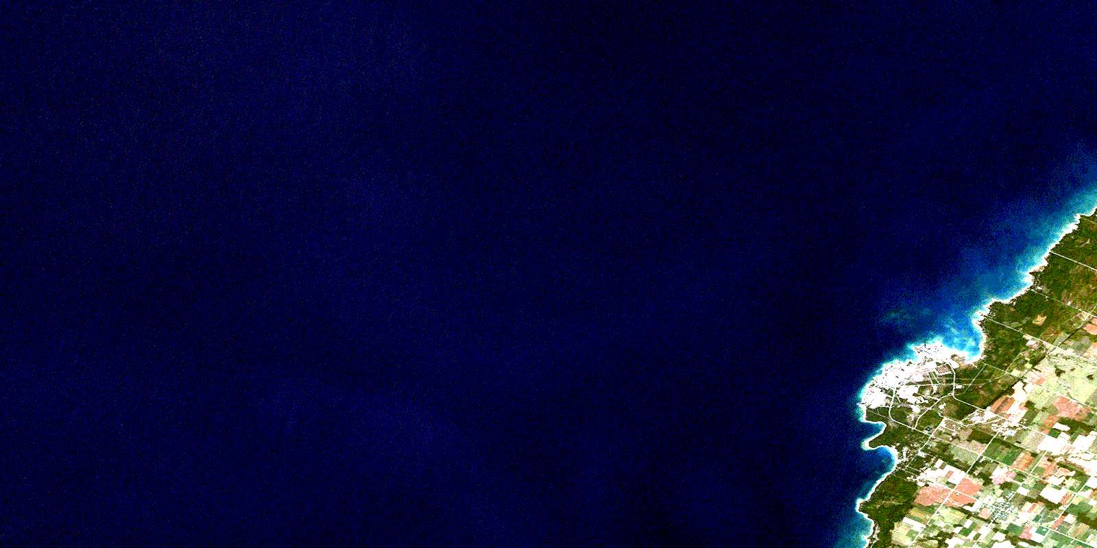
Tiverton Satellite Image Map
Download Free Aerial Photo 041A05 at 1:50,000 scale
Tiverton Satellite Imagery
To view this satellite map, mouse over the air photo on the right.
You can also download this satellite image map for free:
041A05 Tiverton high-resolution satellite image map.
Maps for the Tiverton aerial map sheet 041A05 at 1:50,000 scale are also available in these versions:
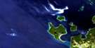
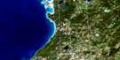
Tiverton Surrounding Area Aerial Photo Maps
 |
 |
 |
|
 |
 |
 |
|
 |
 |
 |
 |
 |
 |
 |
 |
© Department of Natural Resources Canada. All rights reserved.
Tiverton Gazetteer
The following places can be found on satellite image map 041A05 Tiverton:
Tiverton Satellite Image: Bays
Baie du DoréHolmes Bay
Inverhuron Bay
Tiverton Satellite Image: Capes
Douglas PointGunn Point
Macpherson Point
McRae Point
Scott Point
Tiverton Satellite Image: Geographical areas
BruceBruce
Kincardine
Saugeen
Tiverton Satellite Image: Lakes
Lac HuronLake Huron
Tiverton Satellite Image: Major municipal/district area - major agglomerations
BruceTiverton Satellite Image: Other municipal/district area - miscellaneous
BruceKincardine
Kincardine
Kincardine-Bruce-Tiverton
Saugeen
Tiverton Satellite Image: Conservation areas
Inverhuron Provincial ParkMacGregor Point Provincial Park
Tiverton Satellite Image: Rivers
Andrews CreekLittle Sauble River
North Saugeen River
Tiverton Creek
Underwood Creek
Tiverton Satellite Image: Shoals
Loscombe BankScougall Bank
Welsh Bank
Tiverton Satellite Image: Towns
Saugeen ShoresTiverton Satellite Image: Unincorporated areas
Baie du DoréInverhuron
Tiverton
© Department of Natural Resources Canada. All rights reserved.
