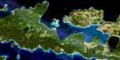
Great Duck Island Satellite Image Map
Download Free Aerial Photo 041G10 at 1:50,000 scale
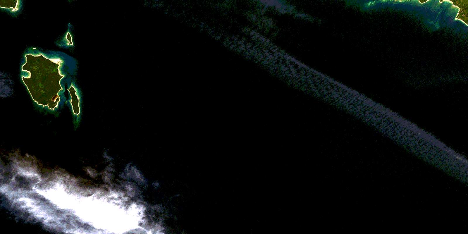
Great Duck Island Satellite Imagery
To view this satellite map, mouse over the air photo on the right.
You can also download this satellite image map for free:
041G10 Great Duck Island high-resolution satellite image map.
Maps for the Great Duck Island aerial map sheet 041G10 at 1:50,000 scale are also available in these versions:
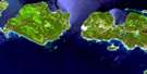
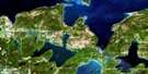
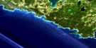
Great Duck Island Surrounding Area Aerial Photo Maps
 |
 |
 |
|
 |
 |
||
© Department of Natural Resources Canada. All rights reserved.
Great Duck Island Gazetteer
The following places can be found on satellite image map 041G10 Great Duck Island:
Great Duck Island Satellite Image: Bays
Dave BayHorseshoe Bay
Portage Bay
Great Duck Island Satellite Image: Capes
Big Bluff PointBlake Point
DesertPoint
Gravel Point
Portage Point
Great Duck Island Satellite Image: Geographical areas
ManitoulinMills
Great Duck Island Satellite Image: Islands
Duck IslandsGreat Duck Island
Manitoulin Island
Middle Duck Island
Outer Duck Island
Western Duck Island
Great Duck Island Satellite Image: Lakes
Lac HuronLake Huron
Great Duck Island Satellite Image: Other municipal/district area - miscellaneous
BurpeeBurpee and Mills
Howland
Great Duck Island Satellite Image: Shoals
Bain RockGull Rock
Hogs Back Reef
Jennie Graham Reefs
Jennie Graham Shoal
Kipling Reef
Kitty Shoal
Larry Rock
Manitoba Reef
Mary Shoal
Shamrock Bank
Thistle Reef
Great Duck Island Satellite Image: Towns
Northeastern Manitoulin and the IslandsNortheastern Manitoulin and the Islands
© Department of Natural Resources Canada. All rights reserved.
