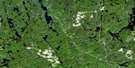
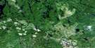
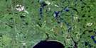
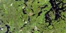
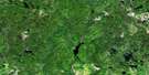
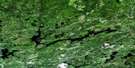
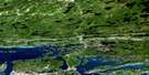
Espanola Satellite Image Map
Download Free Aerial Photo 041I05 at 1:50,000 scale
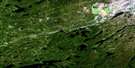
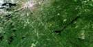
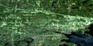
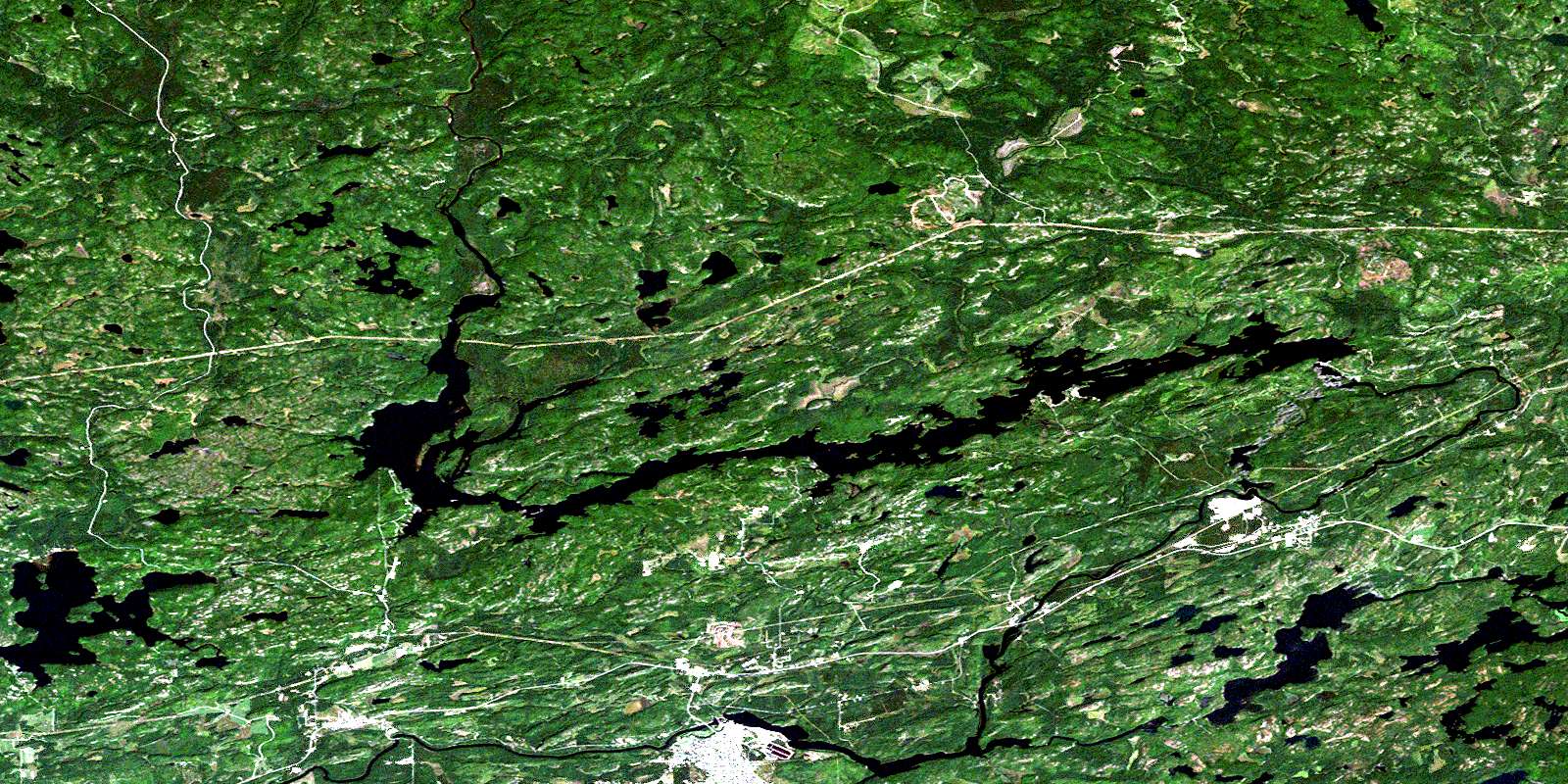
Espanola Satellite Imagery
To view this satellite map, mouse over the air photo on the right.
You can also download this satellite image map for free:
041I05 Espanola high-resolution satellite image map.
Maps for the Espanola aerial map sheet 041I05 at 1:50,000 scale are also available in these versions:
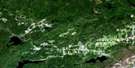
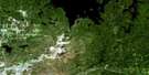
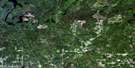
Espanola Surrounding Area Aerial Photo Maps
 |
 |
 |
 |
 |
 |
 |
 |
 |
 |
 |
 |
 |
 |
 |
 |
© Department of Natural Resources Canada. All rights reserved.
Espanola Gazetteer
The following places can be found on satellite image map 041I05 Espanola:
Espanola Satellite Image: Bays
Bell's BayCamp 50 Bay
Espanola Bay
John Creek Bay
Long Bay
McDonald's Bay
Pickerel Bay
Robb's Bay
Sand Bay
Spellman's Cove
Stump Bay
Stumpy Bay
Winding Hill Bay
Espanola Satellite Image: Capes
Picnic PointRed Pine Point
Espanola Satellite Image: Channels
Rocky NarrowsWood's Channel
Espanola Satellite Image: City
Grand SudburyGreater Sudbury
Espanola Satellite Image: Falls
Gordon ChutesHigh Falls
Lorne Falls
Nairn Falls
Espanola Satellite Image: Geographical areas
118119
Baldwin
Bigelow
Drury
Dunlop
Foster
Gough
Hallam
Harwich
Hyman
Lorne
May
Merritt
Nairn
Porter
Shakespeare
Shibananing
Sudbury
Totten
Trill
Truman
Vernon
Weeks
Espanola Satellite Image: Islands
Bear IslandBeaudoin Island
Coffee Island
East Blueberry Island
Hamilton Island
Hammond Island
High Falls Island
Rock Island
West Blueberry Islands
Espanola Satellite Image: Lakes
Agnew LakeAugusta Lake
Beaver Lakes
Bell Lake
Big Swan Lake
Birch Lake
Boundary Lake
Brady Lake
Brazil Lake
Brunton Lake
Cameron Lake
Camp Eleven Lake
Charles Lake
Coreaux Lake
Ella Lake
Fish Lake
Gordon Lake
Gough Lake
Hammond Lake
Hock Lake
Hunter Lake
Jantti Lake
Jiggy Lake
Karstula Lake
Kerr Lake
Kusti Lake
Lake of the Mountains
Lake Panache
Lily Lake
Little Ella Lake
Little Hunter Lake
Little Swan Lake
Maville Lake
May Lake
McGuey Lake
McLander Lake
Mong Lake
Moon Lake
Nameless Lake
Nazar Lake
O'Brien Lake
Pistin Lake
Pomfrey Lake
Porter Lake
Rock Lake
Ross Lake
Savage Lake
Shiner Pond
Shoreaux Lake
Star Lake
Stony Lake
Streich Lake
Sutherland Lake
Swan Lake
Tenho Lake
Wabagishik Lake
Ward Lake
West Brady Lake
West Cameron Lake
Young's Lake
Espanola Satellite Image: Mountains
Headquarters HillProspect Hill
The Haystack
Espanola Satellite Image: Major municipal/district area - major agglomerations
SudburyEspanola Satellite Image: Other municipal/district area - miscellaneous
BaldwinBalfour
Dowling
Drury, Denison and Graham
Hallam
Nairn
Nairn and Hyman
Sables-Spanish Rivers
Salter, May and Harrow
The Spanish River
Victoria
Espanola Satellite Image: Conservation areas
Flat Creek Old Pine Conservation ReserveGough Outwash Forest Conservation Reserve
Shakespeare Forest Conservation Reserve
Spanish River Provincial Park
Espanola Satellite Image: Rapids
Boswell RapidsEspanola Satellite Image: Rivers
Armstrong CreekBeaudin Creek
Birch Creek
Blake Creek
Cameron Creek
Crazy Creek
Cutler Creek
Darkie Creek
Flat Creek
Fleck Creek
Gough Creek
Gough Creek
Hunter Creek
Jiggy Creek
John Creek
McLander Creek
Miller Creek
Ministic Creek
Porter Creek
Rivière Vermillion
Spanish River
Sutherland Creek
Vermilion River
Wakonassin River
Wood's Creek
Espanola Satellite Image: River features
Big BendDevil's Elbow
Great Bend
Espanola Satellite Image: Shoals
Eagle RockTarget Rock
Espanola Satellite Image: Towns
EspanolaWaters
Espanola Satellite Image: Unincorporated areas
Beaver LakeDrury
High Falls
Lorne
McKerrow
Nairn
Nairn Centre
Prospect Hill
Turbine
Walden
Webbwood
Espanola Satellite Image: Low vegetation
Dixon MarshMcGregor's Marsh
© Department of Natural Resources Canada. All rights reserved.
