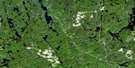
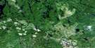
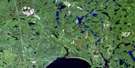
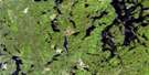
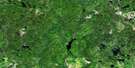
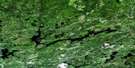
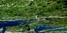
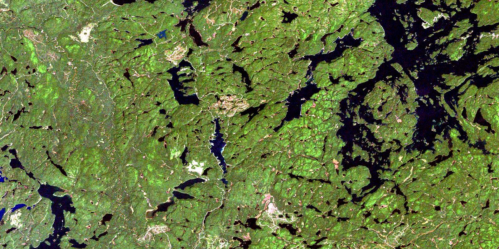
Lake Temagami Satellite Image Map
Download Free Aerial Photo 041I16 at 1:50,000 scale
Lake Temagami Satellite Imagery
To view this satellite map, mouse over the air photo on the right.
You can also download this satellite image map for free:
041I16 Lake Temagami high-resolution satellite image map.
Maps for the Lake Temagami aerial map sheet 041I16 at 1:50,000 scale are also available in these versions:
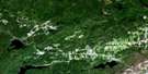
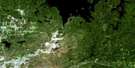
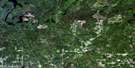
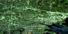
Lake Temagami Surrounding Area Aerial Photo Maps
 |
 |
 |
 |
 |
 |
 |
 |
 |
 |
 |
 |
 |
 |
 |
 |
© Department of Natural Resources Canada. All rights reserved.
Lake Temagami Gazetteer
The following places can be found on satellite image map 041I16 Lake Temagami:
Lake Temagami Satellite Image: Bays
Austin BayBaie Jeanne
Cross Bay
Island Bay
Kokoko Bay
Loon Bay
Mule Bay
Outlet Bay
Portage Bay
Shiningwood Bay
South Arm
Southwest Arm
Spawning Bay
West Bay
Lake Temagami Satellite Image: Capes
Denedus PointMatagama Point
McLean Peninsula
Pelican Point
Ranger Point
Lake Temagami Satellite Image: Falls
Lower Goose FallsUpper Goose Falls
Lake Temagami Satellite Image: Geographical areas
AftonArmagh
Belfast
Briggs
Clary
Clement
Hobbs
Joan
Kelly
Macbeth
McCallum
McCarthy
McNish
Nipissing
Pardo
Phyllis
Scholes
Sheppard
Sudbury
Torrington
Vogt
Yates
Lake Temagami Satellite Image: Indian Reserves
Bear Island 1Bear Island Indian Reserve 1
Réserve indienne Bear Island 1
Lake Temagami Satellite Image: Islands
Alexander IslandBear Island
Cattle Island
Denedus Island
Garden Island
High Rock Island
Kabekwabika Island
McMillan Island
Moore Island
Narrows Island
Ogama Island
Smoothrock Island
Temagami Island
Timagami Island
Turner Island
Wingfoot Island
Lake Temagami Satellite Image: Lakes
Adobe LakeAileen Lake
Aleck Lake
Apple Lake
Arcand Lake
Banquet Lake
Barlow Lake
Barnes Lake
Boucher Lake
Brightwater Lake
Clem Lake
Colin Scott Lake
Crest Lake
Cross Lake
Cucumber Lake
Cummings Lake
David Lake
Dean Lake
Deschamps Lake
Dip Lake
Donald Lake
Eaglenest Lake
Eaglerock Lake
East Jones Lake
Echo Lake
Edna Lake
Eileen Lake
Emerald Lake
Gagnon Lake
Gamagowong Lake
Gawasi Lake
Greenrod Lake
Gull Lake
Harvey Lake
Herbert Lake
High Lake
Hybrid Lake
Indian Trail Lake
Iron Lake
Jewell Lake
Kearns Lake
Kelly Lake
Kibble Lake
Lac à Brochets
Lac Maskinongé
Lake Temagami
Lake Timagami
Little Cross Lake
Little Donald Lake
Little Rocky Lake
Little Weasel Lake
Longbow Lake
Lost Lake
Lower Bass Lake
Lower Matagamasi Lake
Lulu Lake
Manitou Lake
Marlow Lake
Maskinonge Lake
McNish Lake
Mickey Lake
Moses Lake
North Silver Lake
Obabika Lake
Ozhway Lake
Pat Lake
Pats Lake
Plum Lake
Pond Lake
Potvin Lake
Rachel Lake
Redbark Lake
Rice Lake
Rump Lake
Silver Lake
Sinton Lake
Skunk Lake
South Iron Lake
Stanley Lake
Tee Lake
Tip Lake
Triangle Lake
Turtleshell Lake
Wawiagama Lake
Wawiashkashi Lake
Weedy Lake
Weever Lake
West Adobe Lake
Woods Lake
Lake Temagami Satellite Image: Mountains
Iron MountainLake Temagami Satellite Image: Conservation areas
Narrows Island Conservation ReserveObabika River Provincial Park
Sturgeon River Provincial Park
Temagami Island North Conservation Reserve
Temagami River Provincial Park
Lake Temagami Satellite Image: Rivers
Chiniguchi RiverKibble Creek
Manitou River
McNish Creek
North Silver Creek
Obabika River
Plum Creek
Rivière Témagami
Sinton Creek
Sturgeon River
Temagami River
Timagami River
Wawiagama River
Yorston River
Lake Temagami Satellite Image: Towns
TemagamiLake Temagami Satellite Image: Unincorporated areas
AdanacBear Island
Camp Chimo
Camp Cochrane
Camp White Bear
Camp Wigwasati
Fridays
Kakeena Camp
La Salette
Wabi-Kon
Wabun Camp
© Department of Natural Resources Canada. All rights reserved.
