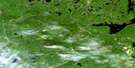
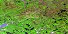
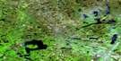
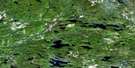
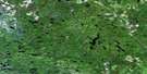
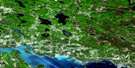
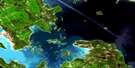
Madawanson Lake Satellite Image Map
Download Free Aerial Photo 041J09 at 1:50,000 scale
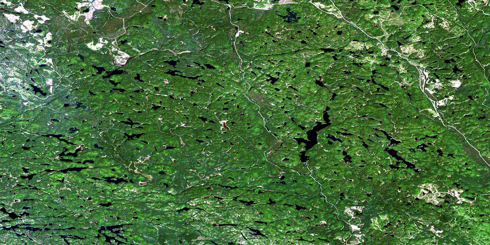
Madawanson Lake Satellite Imagery
To view this satellite map, mouse over the air photo on the right.
You can also download this satellite image map for free:
041J09 Madawanson Lake high-resolution satellite image map.
Maps for the Madawanson Lake aerial map sheet 041J09 at 1:50,000 scale are also available in these versions:
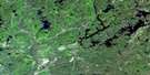
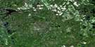
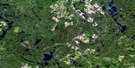
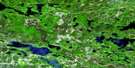
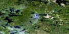
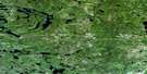
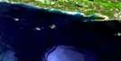
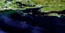
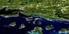
Madawanson Lake Surrounding Area Aerial Photo Maps
 |
 |
 |
 |
 |
 |
 |
 |
 |
 |
 |
 |
 |
 |
 |
 |
© Department of Natural Resources Canada. All rights reserved.
Madawanson Lake Gazetteer
The following places can be found on satellite image map 041J09 Madawanson Lake:
Madawanson Lake Satellite Image: Bays
Bellmore BayMadawanson Lake Satellite Image: City
Elliot LakeMadawanson Lake Satellite Image: Falls
Ritchie FallsMadawanson Lake Satellite Image: Geographical areas
119120
124
125
131
132
138
139
144
145
A
Algoma
B
Buckles
E
F
Hughson
I
J
Landriault
Lefebvre
Lehman
Lockeyer
M
Mandamin
Monestime
Moses
N
Olinyk
Oshell
Piche
Plourde
Poncet
Prescott
Q
R
Redden
Rowat
Strain
Sudbury
Teasdale
Weeks
Madawanson Lake Satellite Image: Lakes
Alces LakeAllen Lake
Archambeau Lake
Arrowhead Lake
Bell Lake
Burd Lake
Campover Lake
Cormier Lake
Dave Lake
Deschamp Lake
Dow Lake
Elinor Lake
Frenchmans Lake
Geiger Lake
Gibson Lake
Harold Lake
Harry Lake
Hourglass Lake
Klondyke Lakes
Lazell Lake
Little Long Lake
Lower Klondyke Lake
Lower Ritchie Lake
Lucas Lake
Madawanson Lake
Marion Lake
Mead Lake
Moon Lake
Nina Lake
Patsy Lake
Pilon Lake
Pilot Lake
Robert Lake
Rochester Lake
Rooster Lake
South Long Lake
Spinweb Lake
Splake Lake
Star Lake
Surveyor Lake
Susan Lake
Tee Lake
Terrance Lake
Tip Top Lake
Upper Klondyke Lake
Uranium Lake
Wiggly Lake
Madawanson Lake Satellite Image: Conservation areas
Archambeau Lake Forest Conservation ReserveMadawanson Lake Satellite Image: Rivers
Alces CreekAlces Creek
Boland River
Flat Creek
River aux Sables
Rochester Creek
Serpent River
Shoe Creek
Spider Creek
Wakonassin River
West River aux Sables
Madawanson Lake Satellite Image: Shoals
Barney RockColville Bank
© Department of Natural Resources Canada. All rights reserved.
041J Related Maps:
041J Blind River041J01 Spanish
041J02 Algoma
041J03 Dean Lake
041J04 St Joseph Island
041J05 Bruce Mines
041J06 Iron Bridge
041J07 Elliot Lake
041J08 Whiskey Lake
041J09 Madawanson Lake
041J10 Rawhide Lake
041J11 Wakomata Lake
041J12 Echo Lake
041J13 Ranger Lake
041J14 Rocky Island Lake
041J15 Kindiogami Lake
041J16 Mozhabong Lake
