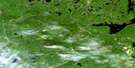
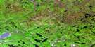
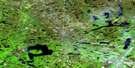
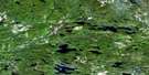
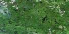
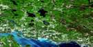
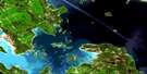
Ranger Lake Satellite Image Map
Download Free Aerial Photo 041J13 at 1:50,000 scale
Ranger Lake Satellite Imagery
To view this satellite map, mouse over the air photo on the right.
You can also download this satellite image map for free:
041J13 Ranger Lake high-resolution satellite image map.
Maps for the Ranger Lake aerial map sheet 041J13 at 1:50,000 scale are also available in these versions:
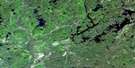
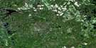
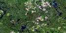
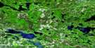
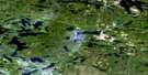
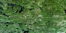
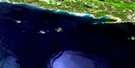
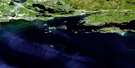
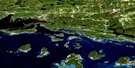
Ranger Lake Surrounding Area Aerial Photo Maps
 |
 |
 |
 |
 |
 |
 |
 |
 |
 |
 |
 |
 |
 |
 |
 |
© Department of Natural Resources Canada. All rights reserved.
Ranger Lake Gazetteer
The following places can be found on satellite image map 041J13 Ranger Lake:
Ranger Lake Satellite Image: Bays
Camp Ten BayIndian Bay
Racquer's Bay
Vielles Bay
West Arm
Ranger Lake Satellite Image: Channels
The DardanellesRanger Lake Satellite Image: Geographical areas
196202
22,10
22,11
22,12
23,10
23,11
23,12
24,11
24,12
3G
3H
4G
4H
5G
5H
Algoma
Curtis
Cuthbertson
Dablon
Daumont
Gaudette
Hodgins
Hughes
Hurlburt
Hynes
Jollineau
Lamming
LaVerendrye
Lunkie
McIlveen
Menard
Nahwegezhic
Pine
Reilly
Snow
Whitman
Ranger Lake Satellite Image: Islands
Big IslandCrane Island
Lewis Island
Mary Baily Island
Mattress Island
Moss Island
Old Maid Island
Savage Island
Sawdust Island
Ranger Lake Satellite Image: Lakes
Amy LakeBoat Lake
Boot Lake
Boundary Lake
Buck Lake
Channel Lakes
Cox Lake
Cruelface Lake
Deckers Lake
Deil Lake
Devil's Lake
Donut Lake
Fork Lake
Franks Lake
Garden Lake
Golf Lake
Hargraft Lake
High Lake
Lac Cherie
Laughing Lake
Laurence Lake
Little Loon Lake
Little Saddle Lake
Little Sand Lake
Magrath Lake
McWater Lake
Morrison Lake
Neganoban Lake
Nod Lake
Packsack Lake
Paquette Lake
Penelope Lake
Portage Lake
Raffle Lake
Ranger Lake
Red Pine Lake
Redpine Lake
Rod Lake
Saddle Lake
Saymo Lake
Seal Lake
Shewfelt Lake
Small Island Lake
Square Lake
Stag Lake
Tracy Lake
Trap Lake
Trapper Lake
Truck Lake
Upper Laughing Lake
Vixen Lake
Ward Lake
West Horseshoe Lake
Whitman Lake
Ranger Lake Satellite Image: Mountains
Ogidaki MountainRanger Lake Satellite Image: Conservation areas
Goulais River Provincial ParkJollineau Conservation Reserve
La Verendrye/Ogidaki Conservation Reserve
Ranger Lake Satellite Image: Rivers
Campus CreekCherie Creek
Dam Creek
East Goulais River
Garden River
Goulais River
Gratton Creek
Icewater Creek
Laughing Creek
Little Garden River
Morrison Creek
Vaporem Creek
Whitman Creek
Ranger Lake Satellite Image: Unincorporated areas
Ranger Lake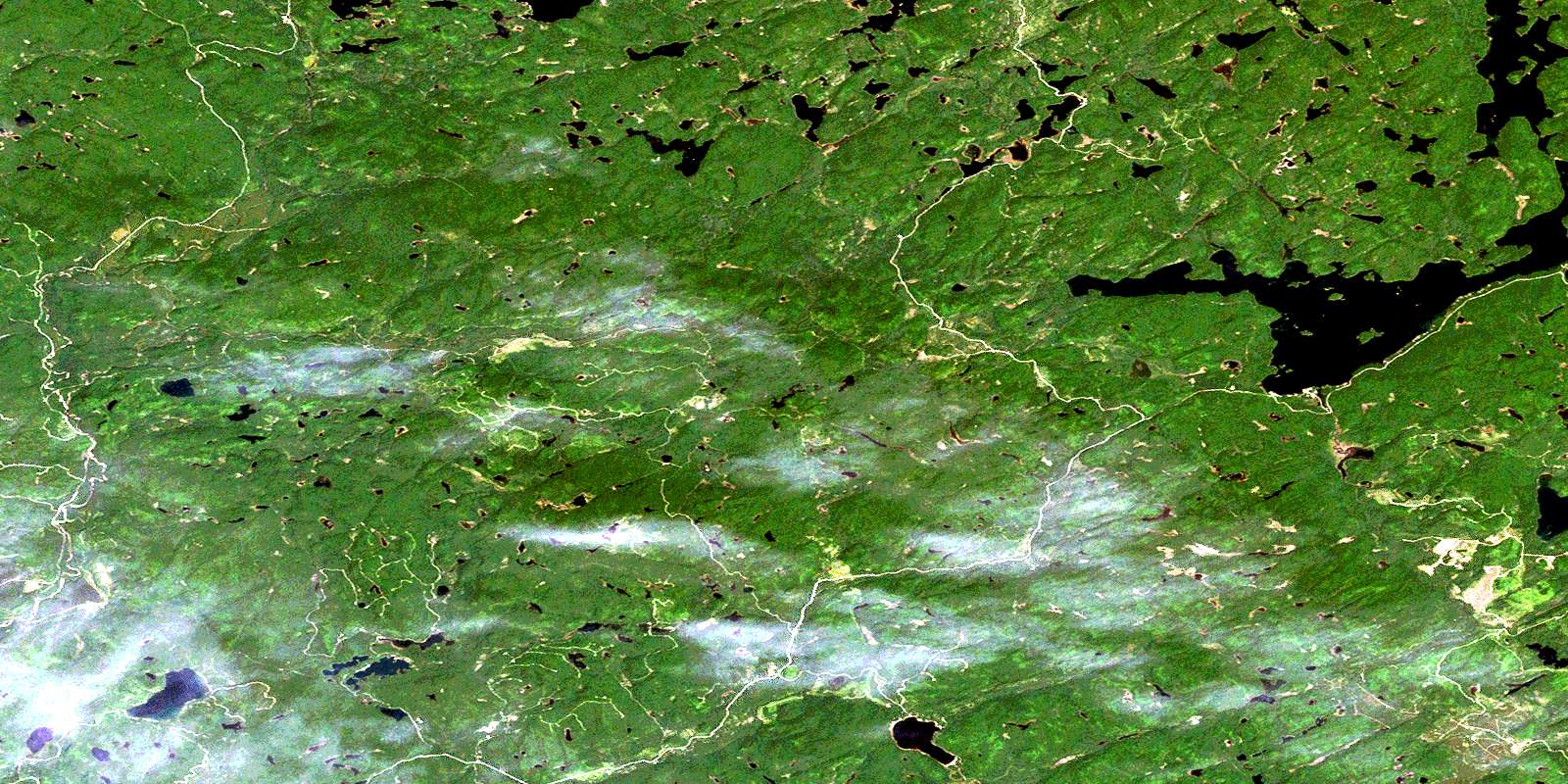
© Department of Natural Resources Canada. All rights reserved.
041J Related Maps:
041J Blind River041J01 Spanish
041J02 Algoma
041J03 Dean Lake
041J04 St Joseph Island
041J05 Bruce Mines
041J06 Iron Bridge
041J07 Elliot Lake
041J08 Whiskey Lake
041J09 Madawanson Lake
041J10 Rawhide Lake
041J11 Wakomata Lake
041J12 Echo Lake
041J13 Ranger Lake
041J14 Rocky Island Lake
041J15 Kindiogami Lake
041J16 Mozhabong Lake
