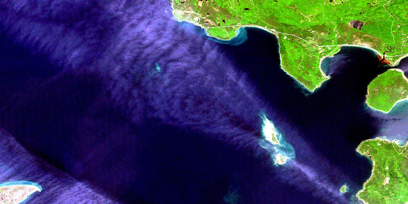
Pancake Bay Satellite Image Map
Download Free Aerial Photo 041K15 at 1:50,000 scale
Pancake Bay Satellite Imagery
To view this satellite map, mouse over the air photo on the right.
You can also download this satellite image map for free:
041K15 Pancake Bay high-resolution satellite image map.
Maps for the Pancake Bay aerial map sheet 041K15 at 1:50,000 scale are also available in these versions:
Pancake Bay Surrounding Area Aerial Photo Maps
 |
 |
||
 |
 |
||
 |
|||
 |
© Department of Natural Resources Canada. All rights reserved.
Pancake Bay Gazetteer
The following places can be found on satellite image map 041K15 Pancake Bay:
Pancake Bay Satellite Image: Bays
Batchawana BayBluewater Bay
Cottrell Cove
Goulais Bay
Horseshoe Bay
Marlette's Bay
Nils Bay
Pancake Bay
Sand Bay
Sawpit Bay
Whitefish Bay
Pancake Bay Satellite Image: Capes
Coppermine PointCorbeil Point
Grindstone Point
Pancake Point
Rudderhead Point
Sand Point
Stony Point
Whiskey Point
Pancake Bay Satellite Image: Channels
The NarrowsPancake Bay Satellite Image: Geographical areas
AlgomaFisher
Herrick
Kars
Ley
Palmer
Ryan
Pancake Bay Satellite Image: Indian Reserves
Obadjiwan 15EObadjiwan Indian Reserve 15E
Réserve indienne Obadjiwan 15E
Pancake Bay Satellite Image: Islands
Batchawana IslandMaple Island
North Sandy Island
Rousseau Island
South Sandy Island
Steamboat Island
Pancake Bay Satellite Image: Lakes
Carp LakeGraham's Lake
Lac Supérieur
Lake Superior
Pancake Bay Satellite Image: Conservation areas
Batchawana Bay Provincial ParkPancake Bay Provincial Park
Sandy Islands Provincial Nature Reserve
Sandy Islands Provincial Park
Pancake Bay Satellite Image: Rivers
Batchawana RiverBlack Creek
Breckenbridge Creek
Carp Creek
Carp River
East Carp River
Gimlet Creek
Pancake River
Pancake Bay Satellite Image: Shoals
Coppermine RockPancake Shoal
Parisienne Shoal
Pancake Bay Satellite Image: Unincorporated areas
BatchawanaBatchawana Bay
Horseshoe Bay
© Department of Natural Resources Canada. All rights reserved.
