Basswood Lake Satellite Image Map
Download Free Aerial Photo 052B04 at 1:50,000 scale
Basswood Lake Satellite Imagery
To view this satellite map, mouse over the air photo on the right.
You can also download this satellite image map for free:
052B04 Basswood Lake high-resolution satellite image map.
Maps for the Basswood Lake aerial map sheet 052B04 at 1:50,000 scale are also available in these versions:
Basswood Lake Surrounding Area Aerial Photo Maps
 |
 |
 |
 |
 |
 |
 |
 |
 |
 |
 |
 |
 |
 |
 |
 |
© Department of Natural Resources Canada. All rights reserved.
Basswood Lake Gazetteer
The following places can be found on satellite image map 052B04 Basswood Lake:
Basswood Lake Satellite Image: Bays
Bayley BayBig Merriam Bay
Gardner Bay
Little Merriam Bay
Lost Bay
Merriam Bay
Merriam Bay
Moose Bay
North Bay
Ranger Bay
Basswood Lake Satellite Image: Capes
Canadian PointKing Point
Norway Point
Basswood Lake Satellite Image: Channels
English ChannelBasswood Lake Satellite Image: Falls
Basswood FallsCurtain Falls
Lower Basswood Falls
Rebecca Falls
Wheelbarrow Falls
Basswood Lake Satellite Image: Geographical areas
Rainy RiverBasswood Lake Satellite Image: Islands
Cabin 16 IslandChristmas Island
Cigar Island
Elk Lake
Four Island
Hunter Island
Irving Island
Neil Island
Ottawa Island
Ranger Island
Rookery Island
Salchert Island
Solandt Island
White Island
Basswood Lake Satellite Image: Lakes
Argo LakeBart Lake
Basswood Lake
Cecil Lake
Craig Lake
Crooked Lake
Greer Lake
Iron Lake
Isabella Lake
Kahshahpiwi Lake
Kett Lake
Lac la Croix
Little Newt Lake
Little Roland Lake
Lost Lake
Low Lake
McAree Lake
McIntyre Lake
McNaught Lake
Middle Roland Lake
Milt Lake
Nest Lake
Newt Lake
Nub Lake
Point Lake
Robinson Lake
Round Lake
Sarah Lake
Side Lake
Ted Lake
Tuck Lake
Valley Lake
Wilson Lake
Basswood Lake Satellite Image: Mountains
Gardners MountainBasswood Lake Satellite Image: Conservation areas
Quetico Provincial ParkBasswood Lake Satellite Image: Rapids
Bottle RapidsBasswood Lake Satellite Image: Rivers
Basswood RiverBottle River
Kett Creek
McIntyre Creek
Namakan River
Siobhan River
Tuck River
Basswood Lake Satellite Image: Road features
Wheelbarrow PortageBasswood Lake Satellite Image: Unincorporated areas
Lac la Croix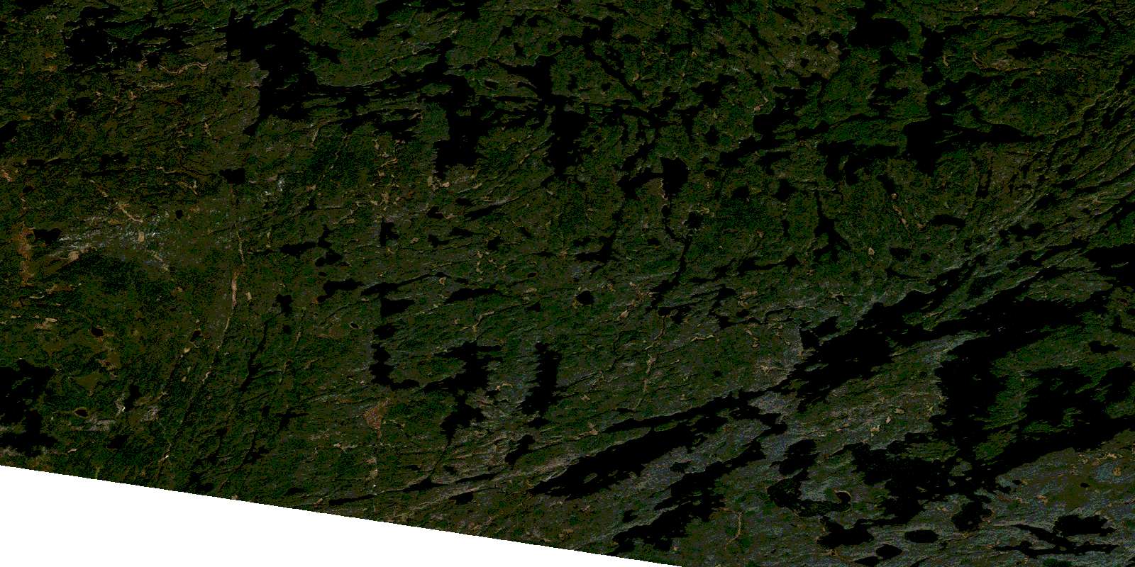
© Department of Natural Resources Canada. All rights reserved.
052B Related Maps:
052B Quetico052B01 Arrow Lake
052B02 Saganaga Lake
052B03 Knife Lake
052B04 Basswood Lake
052B05 Poohbah Lake
052B06 Kawnipi Lake
052B07 Mowe Lake
052B08 Marks Lake
052B09 Shebandowan
052B10 Burchell Lake
052B11 Pickerel Lake
052B12 Quetico Lake
052B13 Atikokan
052B14 Sapawe
052B15 Bedivere Lake
052B16 Savanne
