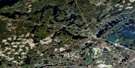
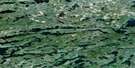
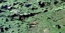
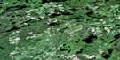
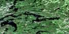
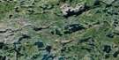
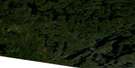
Bedivere Lake Satellite Image Map
Download Free Aerial Photo 052B15 at 1:50,000 scale
Bedivere Lake Satellite Imagery
To view this satellite map, mouse over the air photo on the right.
You can also download this satellite image map for free:
052B15 Bedivere Lake high-resolution satellite image map.
Maps for the Bedivere Lake aerial map sheet 052B15 at 1:50,000 scale are also available in these versions:
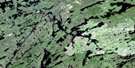
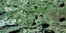
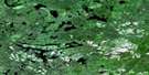
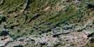
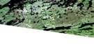
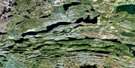
Bedivere Lake Surrounding Area Aerial Photo Maps
 |
 |
 |
 |
 |
 |
 |
 |
 |
 |
 |
 |
 |
 |
 |
 |
© Department of Natural Resources Canada. All rights reserved.
Bedivere Lake Gazetteer
The following places can be found on satellite image map 052B15 Bedivere Lake:
Bedivere Lake Satellite Image: Bays
Baril BayBlind Bay
Bolton Bay
Boot Bay
Carlstead Bay
East Bay
Maze Bay
North Arm
Bedivere Lake Satellite Image: Capes
Birch PointBroad Point
Long Point
Bedivere Lake Satellite Image: Channels
Birch NarrowsHonkonen Narrows
Owl Narrows
Bedivere Lake Satellite Image: Geographical areas
InwoodRainy River
Weaver
Bedivere Lake Satellite Image: Indian Reserves
Réserve indienne Seine River 22A2Seine River Indian Reserve 22A2
Bedivere Lake Satellite Image: Islands
Bull IslandFisherman's Island
Mountain Islands
Owl Island
Shaft Island
Silver Island
Tunnel Island
Bedivere Lake Satellite Image: Lakes
Baril LakeBass Lake
Bedivere Lake
Burnt Island Lake
Byers Lake
Casino Lake
Chief Peter Lake
Clear Lakes
Corner Lake
Crooked Pine Lake
Cushing Lake
Davison Lake
Edar Lake
Edwards Lake
Elbow Lake
Grassy Lake
Kerr Lake
Lac des Mille Lacs
Lost Moose Lake
Magnus Lake
Mercutio Lake
Miserable Lake
Mosher Lake
Nemiman Lake
North Bedivere Lake
Pike Lake
Pistol Lake
Relief Lake
Serpent Lake
Slot Lake
Small Lake
Square Lake
Union Lake
West Bedivere Lake
Bedivere Lake Satellite Image: Rivers
Atikokan RiverBedivere Creek
Inwood Creek
Joe's Creek
Mercutio River
Seine River
Bedivere Lake Satellite Image: Road features
Baril Portage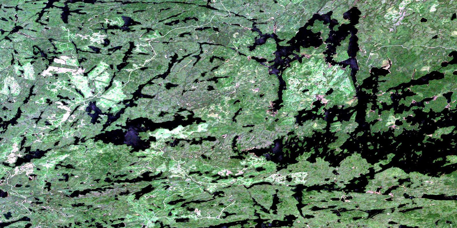
© Department of Natural Resources Canada. All rights reserved.
052B Related Maps:
052B Quetico052B01 Arrow Lake
052B02 Saganaga Lake
052B03 Knife Lake
052B04 Basswood Lake
052B05 Poohbah Lake
052B06 Kawnipi Lake
052B07 Mowe Lake
052B08 Marks Lake
052B09 Shebandowan
052B10 Burchell Lake
052B11 Pickerel Lake
052B12 Quetico Lake
052B13 Atikokan
052B14 Sapawe
052B15 Bedivere Lake
052B16 Savanne
